640 Rance Rd Unit B Oswego, IL 60543
South Oswego NeighborhoodEstimated Value: $491,000 - $611,000
3
Beds
3
Baths
1,965
Sq Ft
$283/Sq Ft
Est. Value
About This Home
This home is located at 640 Rance Rd Unit B, Oswego, IL 60543 and is currently estimated at $555,232, approximately $282 per square foot. 640 Rance Rd Unit B is a home located in Kendall County with nearby schools including Grande Park Elementary School, Murphy Junior High School, and Oswego East High School.
Ownership History
Date
Name
Owned For
Owner Type
Purchase Details
Closed on
Sep 26, 2006
Sold by
Carrillo Mario
Bought by
Carrillo Mario and Carrillo Felipe
Current Estimated Value
Purchase Details
Closed on
May 27, 2004
Sold by
Yanos Ronald J and Yanos Elaine T
Bought by
Carrillo Mario
Home Financials for this Owner
Home Financials are based on the most recent Mortgage that was taken out on this home.
Original Mortgage
$296,000
Outstanding Balance
$134,911
Interest Rate
5%
Mortgage Type
Purchase Money Mortgage
Estimated Equity
$420,321
Create a Home Valuation Report for This Property
The Home Valuation Report is an in-depth analysis detailing your home's value as well as a comparison with similar homes in the area
Home Values in the Area
Average Home Value in this Area
Purchase History
| Date | Buyer | Sale Price | Title Company |
|---|---|---|---|
| Carrillo Mario | -- | Ticor Title Ins Co 1998 | |
| Carrillo Mario | $370,000 | Ticor Title |
Source: Public Records
Mortgage History
| Date | Status | Borrower | Loan Amount |
|---|---|---|---|
| Open | Carrillo Mario | $296,000 | |
| Closed | Carrillo Mario | $74,000 |
Source: Public Records
Tax History Compared to Growth
Tax History
| Year | Tax Paid | Tax Assessment Tax Assessment Total Assessment is a certain percentage of the fair market value that is determined by local assessors to be the total taxable value of land and additions on the property. | Land | Improvement |
|---|---|---|---|---|
| 2024 | $13,189 | $172,624 | $38,969 | $133,655 |
| 2023 | $11,929 | $150,108 | $33,886 | $116,222 |
| 2022 | $11,929 | $140,288 | $31,669 | $108,619 |
| 2021 | $11,518 | $131,110 | $29,597 | $101,513 |
| 2020 | $11,278 | $127,291 | $28,735 | $98,556 |
| 2019 | $10,890 | $121,276 | $28,735 | $92,541 |
| 2018 | $11,191 | $120,601 | $28,575 | $92,026 |
| 2017 | $11,104 | $115,963 | $27,476 | $88,487 |
| 2016 | $10,648 | $109,918 | $26,044 | $83,874 |
| 2015 | $10,401 | $102,727 | $24,340 | $78,387 |
| 2014 | -- | $98,776 | $23,404 | $75,372 |
| 2013 | -- | $99,773 | $23,640 | $76,133 |
Source: Public Records
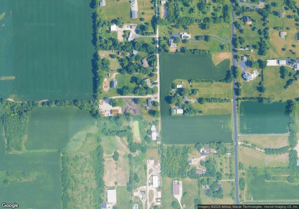
Map
Nearby Homes
- Ontario Plan at Hudson Pointe - II - Landmark Series
- Galveston Plan at Hudson Pointe - II - Landmark Series
- Raleigh Plan at Hudson Pointe - II - Landmark Series
- Siena II Plan at Hudson Pointe - II - Landmark Series
- Brooklyn Plan at Hudson Pointe - II - Landmark Series
- Ridgefield Plan at Hudson Pointe - II - Landmark Series
- Westbury Plan at Hudson Pointe - II - Landmark Series
- 448 Hathaway Ln
- 450 Hathaway Ln
- 460 Hathaway Ln
- 462 Hathaway Ln
- 464 Hathaway Ln
- 250 Cooney Way
- 248 Cooney Way
- 246 Cooney Way
- 247 Cooney Way
- 244 Cooney Way
- 135 Henderson St
- 245 Cooney Way
- 413 Hathaway Ln
- 640 Rance Rd Unit A
- 640 Rance Rd Unit F
- 640 Rance Rd
- 640 Rance Rd Unit D
- 640 Rance Rd Unit E
- 3237 Stewart Rd
- 3141 Stewart Rd
- 3323 Stewart Rd
- 3202 Stewart Rd
- 3401 Stewart Rd
- 675 Wooley Rd
- 680 Rance Rd
- 655 Wooley Rd
- 611 Wooley Rd
- 642 Rance Rd
- 720 Rance Rd
- 731 Wooley Rd
- 596 Rance Rd
- 3126 Stewart Rd
- 548 Rance Rd