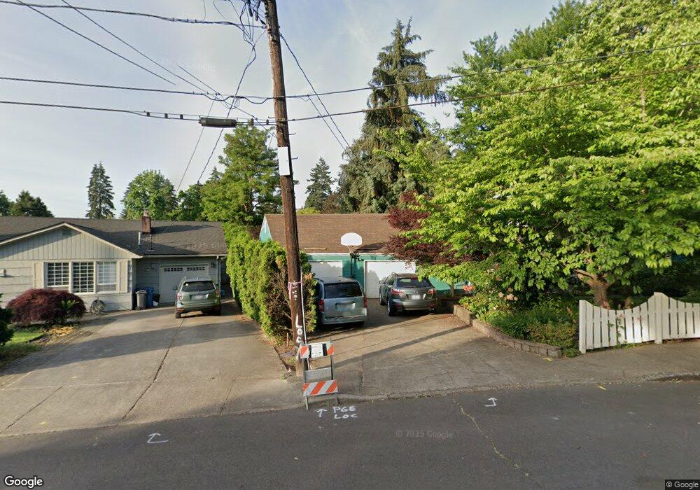
640 Wildwind Dr SE Salem, OR 97302
South Central NeighborhoodEstimated Value: $499,000 - $602,000
4
Beds
3
Baths
2,359
Sq Ft
$235/Sq Ft
Est. Value
About This Home
This home is located at 640 Wildwind Dr SE, Salem, OR 97302 and is currently estimated at $553,674, approximately $234 per square foot. 640 Wildwind Dr SE is a home located in Marion County with nearby schools including McKinley Elementary School, Leslie Middle School, and South Salem High School.
Ownership History
Date
Name
Owned For
Owner Type
Purchase Details
Closed on
Jul 6, 2011
Sold by
Cresswell Marina C
Bought by
Walsh Daniel W and Walsh Lorraine A
Current Estimated Value
Home Financials for this Owner
Home Financials are based on the most recent Mortgage that was taken out on this home.
Original Mortgage
$86,100
Outstanding Balance
$58,889
Interest Rate
4.54%
Mortgage Type
New Conventional
Estimated Equity
$494,785
Purchase Details
Closed on
Jun 19, 2006
Sold by
Johnson Douglas W and Johnson Lorna L S
Bought by
Cresswell Brent E and Cresswell Marina C
Home Financials for this Owner
Home Financials are based on the most recent Mortgage that was taken out on this home.
Original Mortgage
$236,000
Interest Rate
6.55%
Mortgage Type
Fannie Mae Freddie Mac
Create a Home Valuation Report for This Property
The Home Valuation Report is an in-depth analysis detailing your home's value as well as a comparison with similar homes in the area
Home Values in the Area
Average Home Value in this Area
Purchase History
| Date | Buyer | Sale Price | Title Company |
|---|---|---|---|
| Walsh Daniel W | $200,000 | Ticor Title | |
| Cresswell Brent E | $295,000 | Fidelity Natl Title Co Of Or |
Source: Public Records
Mortgage History
| Date | Status | Borrower | Loan Amount |
|---|---|---|---|
| Open | Walsh Daniel W | $86,100 | |
| Previous Owner | Cresswell Brent E | $236,000 |
Source: Public Records
Tax History Compared to Growth
Tax History
| Year | Tax Paid | Tax Assessment Tax Assessment Total Assessment is a certain percentage of the fair market value that is determined by local assessors to be the total taxable value of land and additions on the property. | Land | Improvement |
|---|---|---|---|---|
| 2025 | $5,670 | $297,460 | -- | -- |
| 2024 | $5,670 | $288,800 | -- | -- |
| 2023 | $5,503 | $280,390 | $0 | $0 |
| 2022 | $5,189 | $272,230 | $0 | $0 |
| 2021 | $5,041 | $264,310 | $0 | $0 |
| 2020 | $4,894 | $256,620 | $0 | $0 |
| 2019 | $4,722 | $249,150 | $0 | $0 |
| 2018 | $4,805 | $0 | $0 | $0 |
| 2017 | $4,337 | $0 | $0 | $0 |
| 2016 | $4,131 | $0 | $0 | $0 |
| 2015 | $4,162 | $0 | $0 | $0 |
| 2014 | $4,028 | $0 | $0 | $0 |
Source: Public Records
Map
Nearby Homes
- 2640 High St SE
- 999 Cedar Way SE
- 995 Fairview Ave SE
- 530 Fairview Ave SE
- 2210 Winter St SE Unit 2220
- 2490 E Nob Hill St SE
- 2756 Pheasant Ave SE
- 2220 High St SE
- 2872 Bluff Ave SE
- 1075 Vista Ave SE
- 2005 Summer St SE Unit 2045
- 2009 Church St SE
- 3070 Troth Ct SE
- 2375 Saginaw St S
- 2065 University St SE
- 210 Hoyt St S
- 2630 Mountain View Dr S
- 1875 High St SE
- 2880 Mountain View Dr S
- 340 Boice St S
- 680 Wildwind Dr SE
- 630 Wildwind Dr SE
- 655 Waldo Ave SE
- 645 Waldo Ave SE
- 685 Waldo Ave SE
- 730 Wildwind Dr SE
- 635 Waldo Ave SE
- 695 Waldo Ave SE
- 685 Wildwind Dr SE
- 555 Waldo Ave SE
- 620 Wildwind Dr SE
- 695 Wildwind Dr SE
- 740 Wildwind Dr SE
- 675 Wildwind Dr SE
- 735 Waldo Ave SE
- 735 Wildwind Dr SE
- 645 Wildwind Dr SE
- 750 Wildwind Dr SE
- 660 Waldo Ave SE
- Lot 48 Upper Ben Lomond Dr SE