6401 Smith Rd Midland, NC 28107
Estimated Value: $352,000 - $816,646
3
Beds
1
Bath
1,070
Sq Ft
$538/Sq Ft
Est. Value
About This Home
This home is located at 6401 Smith Rd, Midland, NC 28107 and is currently estimated at $575,912, approximately $538 per square foot. 6401 Smith Rd is a home located in Cabarrus County with nearby schools including Bethel Elementary School, C.C. Griffin Middle School, and Central Cabarrus High School.
Ownership History
Date
Name
Owned For
Owner Type
Purchase Details
Closed on
Oct 2, 2014
Sold by
Smith Linda H
Bought by
Almond Ivey Starr
Current Estimated Value
Purchase Details
Closed on
Jan 18, 2012
Sold by
Almond Leonard D and Almond Betty
Bought by
Smith George B and Smith Linda H
Purchase Details
Closed on
Jan 10, 2012
Sold by
Burns W Joseph and Almond Gerald M
Bought by
Smith George B and Smith Linda H
Purchase Details
Closed on
Apr 12, 2005
Sold by
Almond Gerald M
Bought by
Almond Gerald M
Purchase Details
Closed on
Feb 18, 2005
Sold by
Almond Kathy S
Bought by
Almond Gerald M
Purchase Details
Closed on
Feb 1, 1990
Create a Home Valuation Report for This Property
The Home Valuation Report is an in-depth analysis detailing your home's value as well as a comparison with similar homes in the area
Home Values in the Area
Average Home Value in this Area
Purchase History
| Date | Buyer | Sale Price | Title Company |
|---|---|---|---|
| Almond Ivey Starr | $145,000 | None Available | |
| Smith George B | -- | None Available | |
| Smith George B | $131,000 | None Available | |
| Almond Gerald M | -- | -- | |
| Almond Gerald M | -- | -- | |
| -- | $70,000 | -- |
Source: Public Records
Tax History Compared to Growth
Tax History
| Year | Tax Paid | Tax Assessment Tax Assessment Total Assessment is a certain percentage of the fair market value that is determined by local assessors to be the total taxable value of land and additions on the property. | Land | Improvement |
|---|---|---|---|---|
| 2025 | $1,516 | $227,700 | $0 | $0 |
| 2024 | $1,516 | $227,700 | $0 | $0 |
| 2023 | $1,074 | $129,110 | $0 | $0 |
| 2022 | $1,074 | $129,110 | $0 | $0 |
| 2021 | $1,074 | $129,110 | $0 | $0 |
| 2020 | $1,074 | $129,110 | $0 | $0 |
| 2019 | $2,816 | $338,490 | $268,720 | $69,770 |
| 2018 | $2,749 | $338,490 | $268,720 | $69,770 |
| 2017 | $2,681 | $338,490 | $268,720 | $69,770 |
| 2016 | $2,681 | $365,510 | $281,200 | $84,310 |
| 2015 | -- | $365,510 | $281,200 | $84,310 |
| 2014 | -- | $365,510 | $281,200 | $84,310 |
Source: Public Records
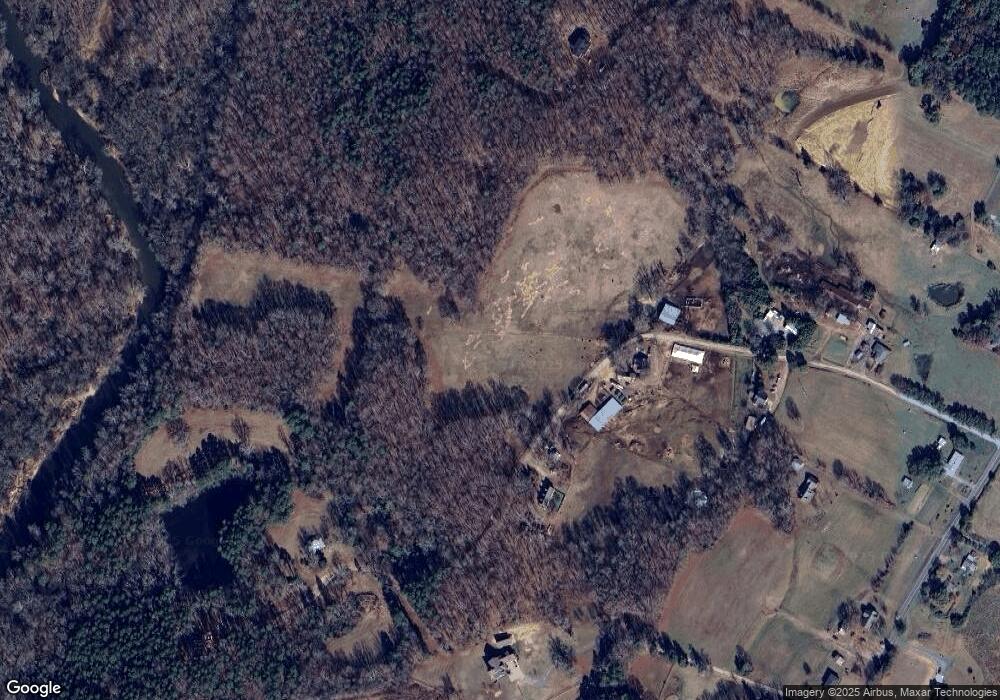
Map
Nearby Homes
- 00 John Furr Rd Unit 3
- 6865 Highway 200
- 10130 Reed Mine Rd
- 5791 N Carolina 200
- 0 John Furr Rd Unit 1 CAR4096481
- 6827 England Rd
- 10791 Hartsell Rd
- 4570 Chanel Ct
- 8808 Cornwall St
- 8629 Hayden Way
- 8438 Meadowcreek Village Dr
- 8836 Cornwall St
- 8129 Chilkoot Ln
- 8125 Chilkoot Ln
- 8121 Chilkoot Ln
- Mitchell Plan at Meadow Creek Village
- Hawthorn Plan at Meadow Creek Village
- Woodruff II Plan at Meadow Creek Village
- Kephart Plan at Meadow Creek Village
- Cardinal Plan at Meadow Creek Village
- 6350 Smith Rd
- 6464 Smith Rd
- 9000 Reed Mine Rd
- 9116 Reed Mine Rd
- 6551 Smith Rd
- 6201 Smith Rd
- 9080 Reed Mine Rd
- 8950 Reed Mine Rd
- 9210 Reed Mine Rd
- 9065 Reed Mine Rd
- 9019 Reed Mine Rd
- 8870 Reed Mine Rd
- 0000 Reed Mine Rd
- 8987 Reed Mine Rd
- 9120 Reed Mine Rd
- 8901 Reed Mine Rd
- 8901 Reed Mine Rd
- 8810 Reed Mine Rd
- 8750 Reed Mine Rd
- 8508 Reed Mine Rd