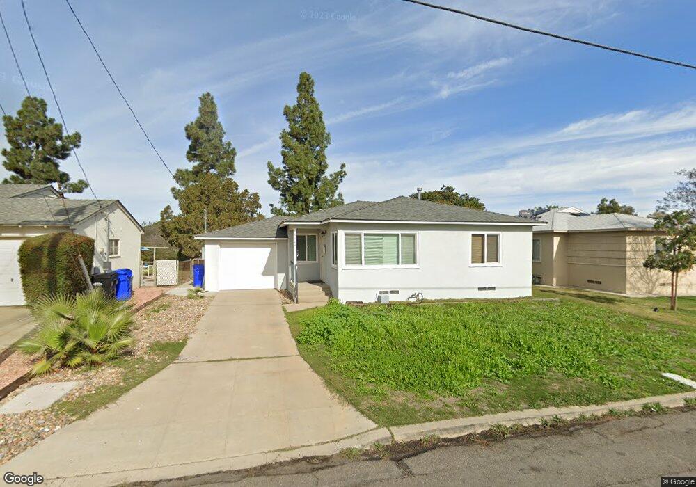
6404 Stanley Ave San Diego, CA 92115
Rolando NeighborhoodEstimated Value: $711,147 - $787,000
2
Beds
1
Bath
772
Sq Ft
$980/Sq Ft
Est. Value
About This Home
This home is located at 6404 Stanley Ave, San Diego, CA 92115 and is currently estimated at $756,537, approximately $979 per square foot. 6404 Stanley Ave is a home located in San Diego County with nearby schools including Clay Elementary School, Mann Middle School, and Crawford High School.
Ownership History
Date
Name
Owned For
Owner Type
Purchase Details
Closed on
May 3, 2017
Sold by
Martinez Robert C
Bought by
Martinez Robert C
Current Estimated Value
Purchase Details
Closed on
Jul 13, 1999
Sold by
Mackinnon Nellie R
Bought by
Martinez Robert C
Home Financials for this Owner
Home Financials are based on the most recent Mortgage that was taken out on this home.
Original Mortgage
$135,850
Outstanding Balance
$38,294
Interest Rate
7.64%
Estimated Equity
$718,243
Create a Home Valuation Report for This Property
The Home Valuation Report is an in-depth analysis detailing your home's value as well as a comparison with similar homes in the area
Home Values in the Area
Average Home Value in this Area
Purchase History
| Date | Buyer | Sale Price | Title Company |
|---|---|---|---|
| Martinez Robert C | -- | None Available | |
| Martinez Robert C | $143,000 | Old Republic Title Company |
Source: Public Records
Mortgage History
| Date | Status | Borrower | Loan Amount |
|---|---|---|---|
| Open | Martinez Robert C | $135,850 |
Source: Public Records
Tax History Compared to Growth
Tax History
| Year | Tax Paid | Tax Assessment Tax Assessment Total Assessment is a certain percentage of the fair market value that is determined by local assessors to be the total taxable value of land and additions on the property. | Land | Improvement |
|---|---|---|---|---|
| 2025 | $2,681 | $219,758 | $100,329 | $119,429 |
| 2024 | $2,681 | $215,450 | $98,362 | $117,088 |
| 2023 | $2,621 | $211,227 | $96,434 | $114,793 |
| 2022 | $2,552 | $207,087 | $94,544 | $112,543 |
| 2021 | $2,535 | $203,028 | $92,691 | $110,337 |
| 2020 | $2,504 | $200,947 | $91,741 | $109,206 |
| 2019 | $2,460 | $197,008 | $89,943 | $107,065 |
| 2018 | $2,301 | $193,146 | $88,180 | $104,966 |
| 2017 | $2,246 | $189,359 | $86,451 | $102,908 |
| 2016 | $2,127 | $185,647 | $84,756 | $100,891 |
| 2015 | $2,095 | $182,859 | $83,483 | $99,376 |
| 2014 | $2,062 | $179,278 | $81,848 | $97,430 |
Source: Public Records
Map
Nearby Homes
- 4584 Catherine Ave
- 4612 Revillo Way
- 4777 Seminole Dr Unit 118
- 4527-29 63rd St
- 4672 Rolando Blvd
- 4727 Choctaw Dr
- 4397 Cartagena Dr
- 6283 Lorca Dr
- 4805 Rolando Blvd
- 4860 Rolando Ct Unit 52
- 4860 Rolando Ct Unit 25
- 4860 Rolando Ct Unit 42
- 4860 Rolando Ct Unit 29
- 4860 Rolando Ct Unit 81
- 4783 Lenore Dr
- 4515 College Way Unit P
- 6650 Amherst St Unit 14A
- 6101 Adelaide Ave Unit 102
- 4733 Soria Dr
- 6752 Solita Ave
- 6410 Stanley Ave
- 6396 Stanley Ave
- 6416 Stanley Ave
- 6390 Stanley Ave
- 6409 Stanley Ave
- 6395 Stanley Ave
- 6384 Stanley Ave
- 6422 Stanley Ave
- 6389 Stanley Ave
- 4629 Catherine Ave
- 6421 Stanley Ave
- 6378 Stanley Ave
- 6383 Stanley Ave
- 4630 Catherine Ave
- 6428 Stanley Ave
- 4623 Catherine Ave
- 4630 Virginia Ave
- 6377 Stanley Ave
- 6372 Stanley Ave
- 4624 Catherine Ave