6405 Colton Blvd Billings, MT 59106
West Shiloh NeighborhoodEstimated Value: $613,000 - $1,779,766
4
Beds
7
Baths
4,787
Sq Ft
$238/Sq Ft
Est. Value
About This Home
This home is located at 6405 Colton Blvd, Billings, MT 59106 and is currently estimated at $1,139,255, approximately $237 per square foot. 6405 Colton Blvd is a home located in Yellowstone County with nearby schools including Meadowlark School, Ben Steele Middle School, and Billings West High School.
Ownership History
Date
Name
Owned For
Owner Type
Purchase Details
Closed on
Jun 22, 2010
Sold by
Erlenbush Linda G
Bought by
Hedge John F and Hedge Kathleen
Current Estimated Value
Home Financials for this Owner
Home Financials are based on the most recent Mortgage that was taken out on this home.
Original Mortgage
$727,375
Outstanding Balance
$332,990
Interest Rate
2.25%
Mortgage Type
New Conventional
Estimated Equity
$806,265
Purchase Details
Closed on
Apr 4, 2008
Sold by
Erlenbush Gene C
Bought by
Erlenbush Linda G
Create a Home Valuation Report for This Property
The Home Valuation Report is an in-depth analysis detailing your home's value as well as a comparison with similar homes in the area
Home Values in the Area
Average Home Value in this Area
Purchase History
| Date | Buyer | Sale Price | Title Company |
|---|---|---|---|
| Hedge John F | -- | None Available | |
| Erlenbush Linda G | -- | None Available |
Source: Public Records
Mortgage History
| Date | Status | Borrower | Loan Amount |
|---|---|---|---|
| Open | Hedge John F | $727,375 |
Source: Public Records
Tax History Compared to Growth
Tax History
| Year | Tax Paid | Tax Assessment Tax Assessment Total Assessment is a certain percentage of the fair market value that is determined by local assessors to be the total taxable value of land and additions on the property. | Land | Improvement |
|---|---|---|---|---|
| 2025 | $10,646 | $1,832,300 | $408,119 | $1,424,181 |
| 2024 | $10,646 | $1,369,900 | $318,774 | $1,051,126 |
| 2023 | $10,440 | $1,369,900 | $318,774 | $1,051,126 |
| 2022 | $9,147 | $1,191,700 | $0 | $0 |
| 2021 | $10,379 | $1,191,700 | $0 | $0 |
| 2020 | $9,498 | $1,164,900 | $0 | $0 |
| 2019 | $9,297 | $1,164,900 | $0 | $0 |
| 2018 | $8,353 | $1,026,300 | $0 | $0 |
| 2017 | $8,068 | $1,026,300 | $0 | $0 |
| 2016 | $7,688 | $991,300 | $0 | $0 |
| 2015 | $7,487 | $991,300 | $0 | $0 |
| 2014 | $8,347 | $594,659 | $0 | $0 |
Source: Public Records
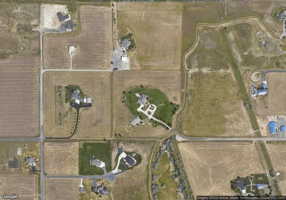
Map
Nearby Homes
- 5222 Camp Ln
- 5209 Camp Ln
- 6312 Absaloka Ln
- 0000 Creek Crossing Rd
- 613 Candle Light Ln
- 6307 Absaloka Ln
- 6325 Beckville Ln
- 3005 Golden Acres Dr
- 6424 Southern Bluffs Ln
- 637 Willow Branch Rd
- 635 Willow Branch Rd
- 6312 Decker Ln
- 2924 Golden Acres Dr
- 6309 Decker Ln
- 6386 Signal Peak Ave
- 6389 Signal Peak Ave
- 6387 Signal Peak Ave
- 6421 Southern Bluffs Ln Unit 2
- 6421 Southern Bluffs Ln Unit 1
- xxxx 60th St W
- 2403 66th St W
- 6500 Hardy Place
- 2205 66th St W
- 6525 Hardy Place
- 2405 66th St W
- 6530 Hardy Place
- lot 4 66th St W
- 0 66th St W
- 2521 Blue Mountain Trail
- 2505 66th St W
- 2280 62nd St W
- 6550 Hardy Place
- 0 Hardy Place
- 2004 66th St W
- 6350 Colton Blvd
- 6545 Cold Stone Ln
- 1950 66th St W
- 6505 Cold Stone Ln
- 2344 62nd St W
- 6565 Cold Stone Ln