6405 N Pearson Rd Springfield, TN 37172
Estimated Value: $742,000 - $1,419,619
Studio
2
Baths
2,044
Sq Ft
$529/Sq Ft
Est. Value
About This Home
This home is located at 6405 N Pearson Rd, Springfield, TN 37172 and is currently estimated at $1,080,810, approximately $528 per square foot. 6405 N Pearson Rd is a home located in Robertson County with nearby schools including East Robertson Elementary School and East Robertson High School.
Ownership History
Date
Name
Owned For
Owner Type
Purchase Details
Closed on
Nov 16, 2022
Sold by
Belt Land Trust
Bought by
Belt Neal Pamela and Belt Fuoua Cynthia
Current Estimated Value
Purchase Details
Closed on
Dec 21, 2012
Sold by
Belt Jimmy L
Bought by
Belt Jimmy L & Co Trustees The Belt Land Trus
Purchase Details
Closed on
Dec 7, 2005
Sold by
Kenneth Bracy
Bought by
Jason Bracy
Purchase Details
Closed on
Jun 30, 2004
Sold by
Traughber Thomas H
Bought by
Joyce Leding
Purchase Details
Closed on
Dec 22, 2003
Sold by
Bracy and Sandra
Bought by
Jason Bracy
Purchase Details
Closed on
Nov 27, 2000
Create a Home Valuation Report for This Property
The Home Valuation Report is an in-depth analysis detailing your home's value as well as a comparison with similar homes in the area
Home Values in the Area
Average Home Value in this Area
Purchase History
We collect this data history from publicly available records. To have your information removed, we recommend requesting removal directly through your county’s website.
| Date | Buyer | Sale Price | Title Company |
|---|---|---|---|
| Belt Neal Pamela | -- | -- | |
| Neal Pamela Belt | -- | None Listed On Document | |
| Belt Jimmy L & Co Trustees The Belt Land Trus | -- | -- | |
| Belt Land Trust | -- | -- | |
| Belt Land Trust | -- | -- | |
| Jason Bracy | $19,285 | -- | |
| Joyce Leding | $22,600 | -- | |
| Jason Bracy | $19,285 | -- | |
| -- | $100,000 | -- |
Source: Public Records
Tax History
| Year | Tax Paid | Tax Assessment Tax Assessment Total Assessment is a certain percentage of the fair market value that is determined by local assessors to be the total taxable value of land and additions on the property. | Land | Improvement |
|---|---|---|---|---|
| 2025 | $2,765 | $153,600 | $67,650 | $85,950 |
| 2024 | $2,765 | $153,600 | $67,650 | $85,950 |
| 2023 | $2,765 | $153,600 | $67,650 | $85,950 |
| 2022 | $2,710 | $105,225 | $48,000 | $57,225 |
| 2021 | $2,710 | $105,225 | $48,000 | $57,225 |
| 2020 | $2,710 | $105,225 | $48,000 | $57,225 |
| 2019 | $2,710 | $105,225 | $48,000 | $57,225 |
| 2018 | $2,710 | $105,225 | $48,000 | $57,225 |
| 2017 | $2,766 | $89,650 | $37,800 | $51,850 |
| 2016 | $2,766 | $89,650 | $37,800 | $51,850 |
| 2015 | $2,654 | $89,650 | $37,800 | $51,850 |
| 2014 | $2,654 | $89,650 | $37,800 | $51,850 |
Source: Public Records
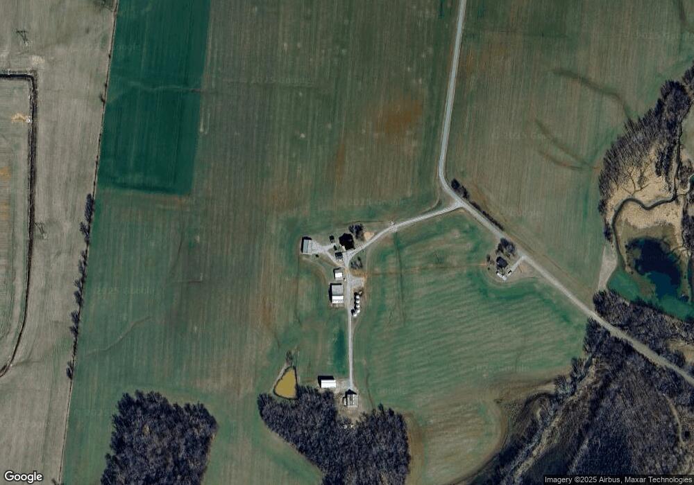
Map
Nearby Homes
- 6041 Mcdaniels Rd
- 6931 Cowan Rd
- 6056 S Lamont Rd
- 5219 Adairville Rd
- 5912 Old Church Rd
- 29640 Highway 49 E
- 5867 Borthick Rd
- 1107 W Church St
- 1115 W Church St
- 597 Prices Mill Rd
- 5654 Borthick Rd
- 233 E Gallatin St
- 6360 Hopewell Rd
- 131 Smith Ave
- 2274 Upper Prices Mill Rd
- 501 Cemetery St
- 6447 Hopewell Rd
- 3548 Neosheo Prices Mill Rd
- 0 Pinson Rd
- 0 Pinson Rd Unit 5
- 6524 N Pearson Rd
- 6524 N Pearson Rd
- 6473 N Pearson Rd
- 5098 State Line Rd
- 6371 State Line Rd
- 6401 State Line Rd
- 6401 State Line Rd
- 6202 Fulton Rd
- 6779 Lamont Rd
- 6178 Fulton Rd
- 6565 Lamont Rd
- 6166 Fulton Rd
- 3986 State Line Rd
- 1048 Lamont Rd
- 6557 Lamont Rd
- 6539 Lamont Rd
- 6057 Mcdaniels Rd
- 6620 N Pearson Rd
- 6063 Mcdaniels Rd
- 6047 Mcdaniels Rd
Your Personal Tour Guide
Ask me questions while you tour the home.