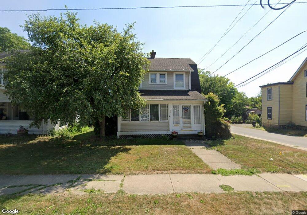
641 Sandusky St Ashland, OH 44805
Estimated Value: $159,970 - $180,000
3
Beds
2
Baths
1,541
Sq Ft
$108/Sq Ft
Est. Value
About This Home
This home is located at 641 Sandusky St, Ashland, OH 44805 and is currently estimated at $166,743, approximately $108 per square foot. 641 Sandusky St is a home located in Ashland County with nearby schools including Ashland High School, Ashland County Community Academy, and St. Edward Elementary School.
Ownership History
Date
Name
Owned For
Owner Type
Purchase Details
Closed on
Sep 30, 2017
Sold by
Rose Smith F Liv Trust
Bought by
Crossen Sharon D
Current Estimated Value
Purchase Details
Closed on
Jun 21, 1999
Sold by
Campbell J Gary
Bought by
Crossen Roger A
Purchase Details
Closed on
Jul 26, 1995
Bought by
Campbell J Gary
Create a Home Valuation Report for This Property
The Home Valuation Report is an in-depth analysis detailing your home's value as well as a comparison with similar homes in the area
Home Values in the Area
Average Home Value in this Area
Purchase History
| Date | Buyer | Sale Price | Title Company |
|---|---|---|---|
| Crossen Sharon D | -- | -- | |
| Crossen Roger A | $70,000 | -- | |
| Campbell J Gary | $67,000 | -- |
Source: Public Records
Tax History Compared to Growth
Tax History
| Year | Tax Paid | Tax Assessment Tax Assessment Total Assessment is a certain percentage of the fair market value that is determined by local assessors to be the total taxable value of land and additions on the property. | Land | Improvement |
|---|---|---|---|---|
| 2024 | $1,274 | $36,880 | $5,860 | $31,020 |
| 2023 | $1,274 | $36,880 | $5,860 | $31,020 |
| 2022 | $1,168 | $26,730 | $4,250 | $22,480 |
| 2021 | $1,172 | $26,730 | $4,250 | $22,480 |
| 2020 | $1,110 | $26,730 | $4,250 | $22,480 |
| 2019 | $1,172 | $26,130 | $4,220 | $21,910 |
| 2018 | $1,182 | $26,130 | $4,220 | $21,910 |
| 2017 | $1,187 | $26,130 | $4,220 | $21,910 |
| 2016 | $1,127 | $23,760 | $3,840 | $19,920 |
| 2015 | $1,117 | $23,760 | $3,840 | $19,920 |
| 2013 | $1,266 | $26,490 | $3,820 | $22,670 |
Source: Public Records
Map
Nearby Homes
- 639 Sandusky St
- 417 Lindale Ave
- 645 Sandusky St
- 633 Sandusky St
- 651 Sandusky St
- 642 Sandusky St
- 638 Sandusky St
- 629 Sandusky St
- 646 Sandusky St
- 634 Sandusky St
- 657 Sandusky St
- 413 Lindale Ave
- 409 Lindale Ave
- 403 Lindale Ave
- 625 Sandusky St
- 412 Lindale Ave
- 408 Lindale Ave
- 609 Vine St
- 628 Sandusky St
- 703 Sandusky St