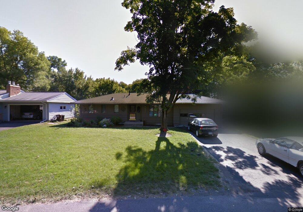
642 Harmony Cir Wayzata, MN 55391
Estimated Value: $495,706 - $512,000
3
Beds
1
Bath
1,123
Sq Ft
$449/Sq Ft
Est. Value
About This Home
This home is located at 642 Harmony Cir, Wayzata, MN 55391 and is currently estimated at $504,677, approximately $449 per square foot. 642 Harmony Cir is a home located in Hennepin County with nearby schools including Gleason Lake Elementary School, Wayzata West Middle School, and Wayzata High School.
Ownership History
Date
Name
Owned For
Owner Type
Purchase Details
Closed on
Apr 30, 2020
Sold by
Ascent Group Llc
Bought by
Johnson Courtney Kristine
Current Estimated Value
Home Financials for this Owner
Home Financials are based on the most recent Mortgage that was taken out on this home.
Original Mortgage
$323,000
Outstanding Balance
$286,223
Interest Rate
3.3%
Mortgage Type
New Conventional
Estimated Equity
$218,454
Purchase Details
Closed on
Dec 30, 2016
Sold by
Raymond Thomas and Raymond Laurel
Bought by
Ascent Group Llc
Home Financials for this Owner
Home Financials are based on the most recent Mortgage that was taken out on this home.
Original Mortgage
$196,125
Interest Rate
3.94%
Mortgage Type
Commercial
Purchase Details
Closed on
Oct 17, 2005
Sold by
Herman Capital Corp
Bought by
Reverence Llc
Purchase Details
Closed on
Jul 5, 2005
Sold by
Groerer Patrick D
Bought by
Herman Capital Corp
Create a Home Valuation Report for This Property
The Home Valuation Report is an in-depth analysis detailing your home's value as well as a comparison with similar homes in the area
Home Values in the Area
Average Home Value in this Area
Purchase History
| Date | Buyer | Sale Price | Title Company |
|---|---|---|---|
| Johnson Courtney Kristine | $340,000 | Watermark Title Agency | |
| Ascent Group Llc | $261,500 | Home Title Inc | |
| Reverence Llc | $259,000 | -- | |
| Herman Capital Corp | $225,000 | -- |
Source: Public Records
Mortgage History
| Date | Status | Borrower | Loan Amount |
|---|---|---|---|
| Open | Johnson Courtney Kristine | $323,000 | |
| Previous Owner | Ascent Group Llc | $196,125 |
Source: Public Records
Tax History
| Year | Tax Paid | Tax Assessment Tax Assessment Total Assessment is a certain percentage of the fair market value that is determined by local assessors to be the total taxable value of land and additions on the property. | Land | Improvement |
|---|---|---|---|---|
| 2024 | $4,200 | $403,400 | $166,500 | $236,900 |
| 2023 | $3,861 | $380,300 | $159,300 | $221,000 |
| 2022 | $3,980 | $372,000 | $159,000 | $213,000 |
| 2021 | $3,309 | $342,000 | $160,000 | $182,000 |
| 2020 | $3,435 | $289,000 | $121,000 | $168,000 |
| 2019 | $3,240 | $280,000 | $113,000 | $167,000 |
| 2018 | $3,359 | $263,000 | $107,000 | $156,000 |
| 2017 | $3,104 | $247,000 | $97,000 | $150,000 |
| 2016 | $3,150 | $230,000 | $93,000 | $137,000 |
| 2015 | $3,248 | $230,000 | $93,000 | $137,000 |
| 2014 | -- | $214,000 | $84,000 | $130,000 |
Source: Public Records
Map
Nearby Homes
- 50 Kimberly Ln N
- 1110 Hollybrook Dr
- 1135 Hollybrook Dr
- 15 Queensland Ln N
- 105 Queensland Ln N
- 1013 Gardner St E
- 282 Glenbrook Rd N
- 550 Waycliffe Dr N
- 665 Waycliffe Dr N
- 520 Queensland Ln N
- 155 Wooddale Ave
- 638 Gardner St
- 641 Park St E
- 633 Park St E
- 129 Chicago Ave N
- 17145 9th Ave N
- 132 Minnetonka Ave N
- 105 Walker Ave N
- 373 Park St E
- 715 Rice St E
- 636 Harmony Cir
- 648 Harmony Cir
- 630 Harmony Cir
- 654 Harmony Cir
- 641 Rosswood Ln
- 635 Rosswood Ln
- xxx Harmony Cir
- 645 Harmony Cir
- 659 Rosswood Ln
- 625 Rosswood Ln
- 660 Harmony Cir
- 655 Harmony Cir
- 637 Harmony Cir
- 672 Harmony Cir
- 665 Rosswood Ln
- 659 Harmony Cir
- 633 Harmony Cir
- 627 Harmony Cir
- 623 Harmony Cir
- 641 Harmony Cir
Your Personal Tour Guide
Ask me questions while you tour the home.