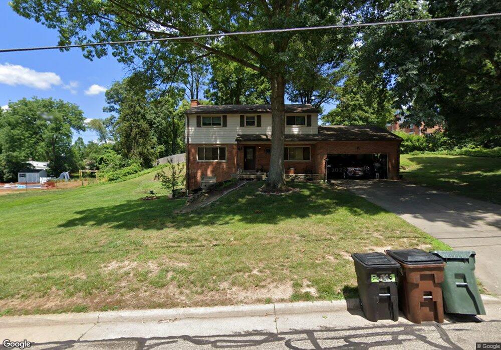
642 Reynard Ave Cincinnati, OH 45231
Finneytown NeighborhoodEstimated Value: $359,000 - $400,000
4
Beds
3
Baths
2,084
Sq Ft
$182/Sq Ft
Est. Value
About This Home
This home is located at 642 Reynard Ave, Cincinnati, OH 45231 and is currently estimated at $379,129, approximately $181 per square foot. 642 Reynard Ave is a home located in Hamilton County with nearby schools including Finneytown Elementary School, Finneytown Secondary Campus, and John Paul II Catholic School.
Ownership History
Date
Name
Owned For
Owner Type
Purchase Details
Closed on
Jul 25, 2008
Sold by
Gallon Lois S
Bought by
Miller Clint E and Miller Jamie M
Current Estimated Value
Home Financials for this Owner
Home Financials are based on the most recent Mortgage that was taken out on this home.
Original Mortgage
$162,943
Outstanding Balance
$106,811
Interest Rate
6.39%
Mortgage Type
FHA
Estimated Equity
$272,318
Create a Home Valuation Report for This Property
The Home Valuation Report is an in-depth analysis detailing your home's value as well as a comparison with similar homes in the area
Home Values in the Area
Average Home Value in this Area
Purchase History
| Date | Buyer | Sale Price | Title Company |
|---|---|---|---|
| Miller Clint E | $165,500 | Attorney |
Source: Public Records
Mortgage History
| Date | Status | Borrower | Loan Amount |
|---|---|---|---|
| Open | Miller Clint E | $162,943 |
Source: Public Records
Tax History Compared to Growth
Tax History
| Year | Tax Paid | Tax Assessment Tax Assessment Total Assessment is a certain percentage of the fair market value that is determined by local assessors to be the total taxable value of land and additions on the property. | Land | Improvement |
|---|---|---|---|---|
| 2024 | $6,318 | $92,838 | $21,413 | $71,425 |
| 2023 | $6,211 | $92,838 | $21,413 | $71,425 |
| 2022 | $7,423 | $80,497 | $21,067 | $59,430 |
| 2021 | $7,282 | $80,497 | $21,067 | $59,430 |
| 2020 | $7,400 | $80,497 | $21,067 | $59,430 |
| 2019 | $6,795 | $68,219 | $17,854 | $50,365 |
| 2018 | $6,272 | $68,219 | $17,854 | $50,365 |
| 2017 | $5,976 | $68,219 | $17,854 | $50,365 |
| 2016 | $5,164 | $57,925 | $19,943 | $37,982 |
| 2015 | $5,197 | $57,925 | $19,943 | $37,982 |
| 2014 | $5,200 | $57,925 | $19,943 | $37,982 |
| 2013 | $6,039 | $69,535 | $20,993 | $48,542 |
Source: Public Records
Map
Nearby Homes
- 8816 Falmouth Dr
- 8608 Long Ln
- 8932 Hollyhock Dr
- 654 Doepke Ln
- 216 Hilltop Ln
- 271 Poage Farm Rd
- 9197 Long Ln
- 8405 Arundel Ct
- 305 Compton Hills Dr
- 525 Chisholm Trail
- 513 Chisholm Trail
- 9132 Millcliff Dr
- 377 Compton Rd
- 954 Hollytree Dr
- 429 W Galbraith Rd
- 7865 Ramble View
- 958 Hollytree Dr
- 9458 Long Ln
- 204 Brocdorf Dr
- 401 W Galbraith Rd
- 8801 Falmouth Dr
- 8800 Falmouth Dr
- 8704 Hollyhock Dr
- 639 Reynard Ave
- 633 Reynard Ave
- 8809 Falmouth Dr
- 628 Reynard Ave
- 8698 Hollyhock Dr
- 8718 Hollyhock Dr
- 8808 Falmouth Dr
- 8716 Hollyhock Dr
- 625 Reynard Ave
- 3 Falmouth Dr
- 8732 Hollyhock Dr
- 8690 Hollyhock Dr
- 8819 Falmouth Dr
- 8713 Hollyhock Dr
- 8746 Hollyhock Dr
- 8699 Hollyhock Dr
- 8723 Long Ln