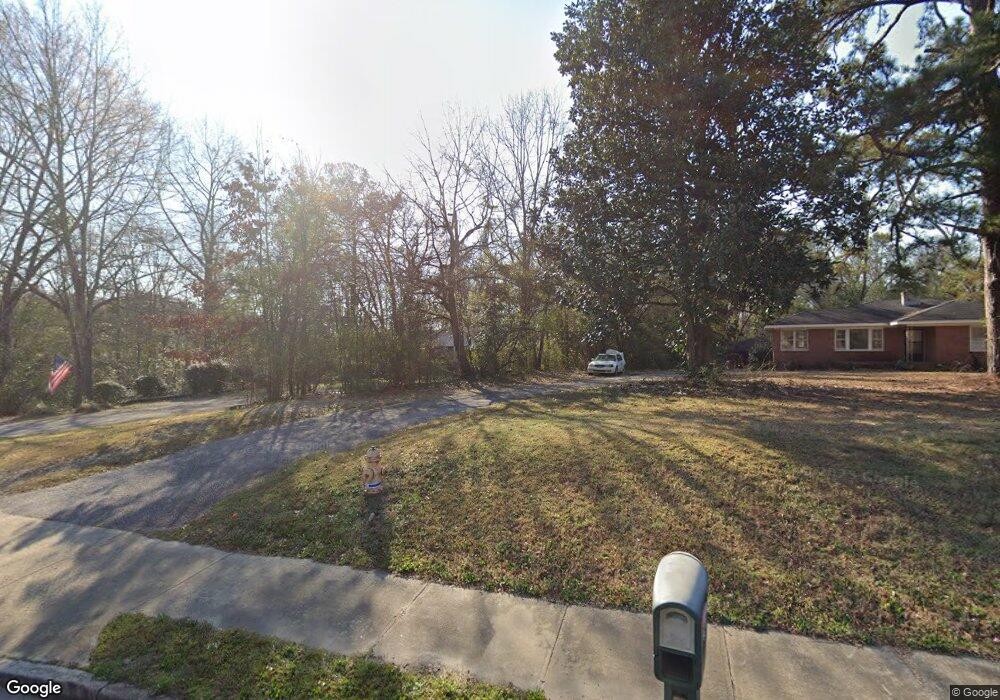
6422 Macon Rd Columbus, GA 31907
Eastern Columbus NeighborhoodEstimated Value: $91,000 - $197,000
3
Beds
2
Baths
1,086
Sq Ft
$121/Sq Ft
Est. Value
About This Home
This home is located at 6422 Macon Rd, Columbus, GA 31907 and is currently estimated at $131,782, approximately $121 per square foot. 6422 Macon Rd is a home located in Muscogee County with nearby schools including Waddell Elementary School, Midland Middle School, and Hardaway High School.
Ownership History
Date
Name
Owned For
Owner Type
Purchase Details
Closed on
Mar 27, 2024
Sold by
West Brenda G
Bought by
West Brenda G and Mctaggart Virginia Leah
Current Estimated Value
Purchase Details
Closed on
Feb 28, 2018
Sold by
West Vernon Robert
Bought by
West Brenda G
Create a Home Valuation Report for This Property
The Home Valuation Report is an in-depth analysis detailing your home's value as well as a comparison with similar homes in the area
Home Values in the Area
Average Home Value in this Area
Purchase History
| Date | Buyer | Sale Price | Title Company |
|---|---|---|---|
| West Brenda G | -- | None Listed On Document | |
| West Brenda G | -- | None Listed On Document | |
| West Brenda G | -- | -- |
Source: Public Records
Tax History Compared to Growth
Tax History
| Year | Tax Paid | Tax Assessment Tax Assessment Total Assessment is a certain percentage of the fair market value that is determined by local assessors to be the total taxable value of land and additions on the property. | Land | Improvement |
|---|---|---|---|---|
| 2025 | $1,310 | $33,456 | $7,372 | $26,084 |
| 2024 | $1,016 | $25,964 | $7,372 | $18,592 |
| 2023 | $1,016 | $25,800 | $3,392 | $22,408 |
| 2022 | $828 | $20,276 | $3,392 | $16,884 |
| 2021 | $759 | $18,592 | $3,392 | $15,200 |
| 2020 | $759 | $18,592 | $3,392 | $15,200 |
| 2019 | $762 | $18,592 | $3,392 | $15,200 |
| 2018 | $0 | $18,592 | $3,392 | $15,200 |
| 2017 | $764 | $18,592 | $3,392 | $15,200 |
| 2016 | $452 | $10,968 | $1,752 | $9,216 |
| 2015 | $453 | $10,968 | $1,752 | $9,216 |
| 2014 | $181 | $10,968 | $1,752 | $9,216 |
| 2013 | -- | $10,968 | $1,752 | $9,216 |
Source: Public Records
Map
Nearby Homes
- 6215 Parker Dr
- 5434 Rockhurst Dr
- 6236 Olde Towne Dr
- 5640 Lakeshore Rd
- 5717 Flat Rock Rd
- 4931 Woodruff Farm Rd
- 5804 Dearborn Ave
- 7101 Cross Tie Dr
- 4700 Bondale Dr
- 5966 Fornof Rd
- 6321 Milgen Rd Unit 3
- 5260 Woodruff Farm Rd
- 5018 Woodruff Farm Rd
- 4628 Sears Rd
- 5408 Old Dominion Rd
- 5422 Colony Dr
- 5590 Macon Rd
- 0 Bondale Dr Unit 11578793
- 5197 Kendal Ct
- 5324 Colony Dr
- 6422 Macon Rd
- 6400 Macon Rd
- 6324 Macon Rd
- 5301 Rockhurst Dr
- 6330 Thornhill Dr
- 6400 Thornhill Dr
- 6312 Macon Rd
- 6410 Thornhill Dr
- 6416 Thornhill Dr
- 5319 Rockhurst Dr
- 6300 Macon Rd
- 6424 Thornhill Dr
- 5320 Rockhurst Dr
- 6325 Thornhill Dr
- 6301 Macon Rd
- 6430 Thornhill Dr
- 6320 Thornhill Dr
- 6415 Thornhill Dr
- 5325 Rockhurst Dr
- 5326 Rockhurst Dr