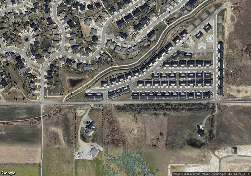
6422 Signal Peak Ave Billings, MT 59106
West Shiloh NeighborhoodEstimated Value: $304,132 - $319,000
2
Beds
1
Bath
1,063
Sq Ft
$293/Sq Ft
Est. Value
About This Home
This home is located at 6422 Signal Peak Ave, Billings, MT 59106 and is currently estimated at $311,033, approximately $292 per square foot. 6422 Signal Peak Ave is a home located in Yellowstone County with nearby schools including Boulder School, Ben Steele Middle School, and Billings West High School.
Ownership History
Date
Name
Owned For
Owner Type
Purchase Details
Closed on
Sep 28, 2021
Sold by
Mccormack James E and Mccormack Bonnie L
Bought by
Peterson Brianne
Current Estimated Value
Home Financials for this Owner
Home Financials are based on the most recent Mortgage that was taken out on this home.
Original Mortgage
$237,000
Outstanding Balance
$216,122
Interest Rate
2.8%
Mortgage Type
New Conventional
Estimated Equity
$94,911
Purchase Details
Closed on
Jul 9, 2020
Sold by
Magnus Land Development Llc
Bought by
Mccormack James E and Mccormack Bonnie L
Home Financials for this Owner
Home Financials are based on the most recent Mortgage that was taken out on this home.
Original Mortgage
$227,920
Interest Rate
3.1%
Mortgage Type
VA
Create a Home Valuation Report for This Property
The Home Valuation Report is an in-depth analysis detailing your home's value as well as a comparison with similar homes in the area
Home Values in the Area
Average Home Value in this Area
Purchase History
| Date | Buyer | Sale Price | Title Company |
|---|---|---|---|
| Peterson Brianne | -- | First American Title Company | |
| Mccormack James E | -- | Chicago Title |
Source: Public Records
Mortgage History
| Date | Status | Borrower | Loan Amount |
|---|---|---|---|
| Open | Peterson Brianne | $237,000 | |
| Previous Owner | Mccormack James E | $227,920 |
Source: Public Records
Tax History Compared to Growth
Tax History
| Year | Tax Paid | Tax Assessment Tax Assessment Total Assessment is a certain percentage of the fair market value that is determined by local assessors to be the total taxable value of land and additions on the property. | Land | Improvement |
|---|---|---|---|---|
| 2025 | $2,579 | $308,200 | $64,447 | $243,753 |
| 2024 | $2,579 | $268,300 | $45,540 | $222,760 |
| 2023 | $2,579 | $268,300 | $45,540 | $222,760 |
| 2022 | $2,628 | $236,900 | $44,923 | $191,977 |
| 2021 | $2,303 | $224,700 | $0 | $0 |
| 2020 | $2,370 | $216,000 | $0 | $0 |
Source: Public Records
Map
Nearby Homes
- 6424 Southern Bluffs Ln
- 6421 Southern Bluffs Ln Unit 2
- 6421 Southern Bluffs Ln Unit 1
- 6312 Absaloka Ln
- 6389 Signal Peak Ave
- 6387 Signal Peak Ave
- 6312 Decker Ln
- 6310 Decker Ln
- 6386 Signal Peak Ave
- 2933 Eagle Butte Tr Unit 140
- 6309 Decker Ln
- 2931 Eagle Butte Trail
- 635 Willow Branch Rd
- 637 Willow Branch Rd
- 3127 Falcon Cir
- 3111 Amelia Cir
- 6730 Cove Creek Dr
- 3210 Golden Acres Dr
- 3136 Amelia Cir
- 3120 Western Bluffs Blvd
- 6424 Signal Peak Ave
- 6426 Signal Peak Ave
- 6340 Absaloka Ln
- 6423 Signal Peak Ave
- 6421 Signal Peak Ave
- 6427 Signal Peak Ave
- 6425 Signal Peak Ave
- 6419 Signal Peak Ave
- 6338 Absaloka Ln
- 6428 Signal Peak Ave
- 6339 Absaloka Ln
- 6417 Signal Peak Ave
- 6430 Signal Peak Ave
- 6337 Absaloka Ln
- 6336 Absaloka Ln
- 6415 Signal Peak Ave
- 6334 Absaloka Ln
- 6429 Signal Peak Ave
- 6413 Signal Peak Ave
- 6431 Signal Peak Ave
