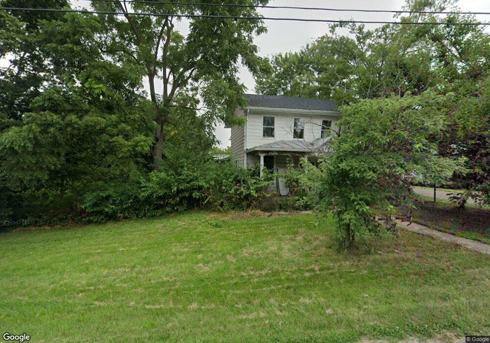
6423 N State Route 48 Lebanon, OH 45036
Clearcreek Township NeighborhoodEstimated Value: $255,801 - $474,000
3
Beds
2
Baths
2,049
Sq Ft
$178/Sq Ft
Est. Value
About This Home
This home is located at 6423 N State Route 48, Lebanon, OH 45036 and is currently estimated at $364,450, approximately $177 per square foot. 6423 N State Route 48 is a home located in Warren County with nearby schools including Clearcreek Elementary School, Springboro Intermediate School, and Dennis Elementary School.
Ownership History
Date
Name
Owned For
Owner Type
Purchase Details
Closed on
Dec 22, 1989
Sold by
Brown John M and Brown Anne R.
Bought by
Mckinney and Mckinney Anne R
Current Estimated Value
Purchase Details
Closed on
Jun 29, 1989
Sold by
Brown Brown and Brown John M
Bought by
Brown Brown and Brown John M
Purchase Details
Closed on
Nov 7, 1988
Sold by
Wolfe Wolfe and Wolfe Rebecca M
Bought by
Brown Brown and Brown John M
Purchase Details
Closed on
Jul 22, 1985
Sold by
Burnett M. Jean and Burnett Hutt,
Bought by
Wolfe and Wolfe Rebecca M
Purchase Details
Closed on
Jul 20, 1984
Sold by
Hutt Hutt and Hutt Bertha
Bought by
Burnett Burnett and Burnett M. Jean
Create a Home Valuation Report for This Property
The Home Valuation Report is an in-depth analysis detailing your home's value as well as a comparison with similar homes in the area
Home Values in the Area
Average Home Value in this Area
Purchase History
| Date | Buyer | Sale Price | Title Company |
|---|---|---|---|
| Mckinney | -- | -- | |
| Brown Brown | -- | -- | |
| Brown Brown | $46,000 | -- | |
| Wolfe | $39,000 | -- | |
| Burnett Burnett | -- | -- |
Source: Public Records
Tax History Compared to Growth
Tax History
| Year | Tax Paid | Tax Assessment Tax Assessment Total Assessment is a certain percentage of the fair market value that is determined by local assessors to be the total taxable value of land and additions on the property. | Land | Improvement |
|---|---|---|---|---|
| 2024 | $1,791 | $53,500 | $13,620 | $39,880 |
| 2023 | $1,488 | $42,826 | $7,616 | $35,210 |
| 2022 | $1,488 | $42,826 | $7,616 | $35,210 |
| 2021 | $1,401 | $42,826 | $7,616 | $35,210 |
| 2020 | $1,228 | $34,818 | $6,192 | $28,627 |
| 2019 | $1,138 | $34,818 | $6,192 | $28,627 |
| 2018 | $1,139 | $34,818 | $6,192 | $28,627 |
| 2017 | $1,124 | $31,707 | $5,730 | $25,977 |
| 2016 | $1,169 | $31,707 | $5,730 | $25,977 |
| 2015 | $1,048 | $31,707 | $5,730 | $25,977 |
| 2014 | $1,048 | $28,310 | $5,120 | $23,190 |
| 2013 | $1,048 | $34,260 | $6,190 | $28,070 |
Source: Public Records
Map
Nearby Homes
- 420 Fitchs Farm Ct
- 7491 Country Brook Ct
- 7510 Country Brook Ct
- 6887 Bunnell Hill Rd
- 4870 Bunnell Hill Rd
- 7250 Beaver Brook Dr
- 4904 Bunnell Hill Rd
- 7660 Horizon Hill Dr
- 7940 Bunnell Hill Rd
- 1744 Harlan Rd
- 2300 Pekin Rd
- 7876 Tall Trees Ct
- 8234 Voltaire Ct
- 0 Vicki Ln Unit 926808
- 7607 Stone Ridge Dr
- 7476 Waterway Dr
- 0 White Cedar Way Unit 1818661
- 79 White Beech Ct
- 8533 Silver Oak Ct
- 814 Valley View Point
- 6435 N State Route 48
- 6400 West St
- 6440 West St
- 6455 State Route 48 N
- 6455 N State Route 48
- 6455 N St Rt 48
- 6436 N State Route 48
- 0 Route 48 Unit 741461
- 947 Franklin St
- 6421 West St
- 6395 West St
- 6471 West St
- 938 Franklin St
- 1033 E Lower Springboro Rd
- 6507 N State Route 48
- Lot 0 E Lower Springboro Rd
- 6525 State Route 48
- 946 E Lower Springboro Rd
- 1095 E Lower Springboro Rd
- 1088 E Lower Springboro Rd