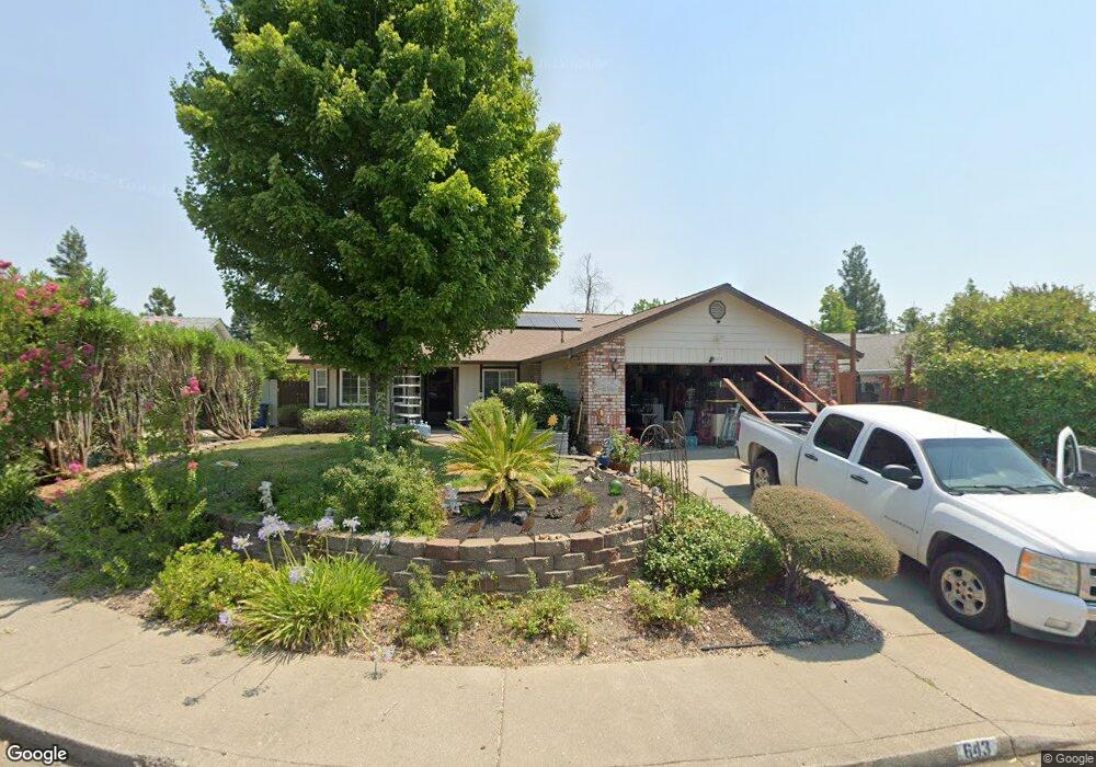
643 Saint Thomas Pkwy Unit 1 Redding, CA 96003
North Hilltop NeighborhoodEstimated Value: $357,000 - $373,000
3
Beds
2
Baths
1,520
Sq Ft
$239/Sq Ft
Est. Value
About This Home
This home is located at 643 Saint Thomas Pkwy Unit 1, Redding, CA 96003 and is currently estimated at $362,865, approximately $238 per square foot. 643 Saint Thomas Pkwy Unit 1 is a home located in Shasta County with nearby schools including Turtle Bay, Sequoia Middle School, and Shasta High School.
Ownership History
Date
Name
Owned For
Owner Type
Purchase Details
Closed on
Feb 6, 1997
Sold by
Plummer Family Trust
Bought by
Gloster Karen R
Current Estimated Value
Home Financials for this Owner
Home Financials are based on the most recent Mortgage that was taken out on this home.
Original Mortgage
$89,600
Outstanding Balance
$9,576
Interest Rate
6.95%
Mortgage Type
Purchase Money Mortgage
Estimated Equity
$353,289
Create a Home Valuation Report for This Property
The Home Valuation Report is an in-depth analysis detailing your home's value as well as a comparison with similar homes in the area
Home Values in the Area
Average Home Value in this Area
Purchase History
| Date | Buyer | Sale Price | Title Company |
|---|---|---|---|
| Gloster Karen R | $112,000 | First American Title Co |
Source: Public Records
Mortgage History
| Date | Status | Borrower | Loan Amount |
|---|---|---|---|
| Open | Gloster Karen R | $89,600 |
Source: Public Records
Tax History
| Year | Tax Paid | Tax Assessment Tax Assessment Total Assessment is a certain percentage of the fair market value that is determined by local assessors to be the total taxable value of land and additions on the property. | Land | Improvement |
|---|---|---|---|---|
| 2025 | $1,904 | $182,384 | $45,589 | $136,795 |
| 2024 | $1,874 | $178,809 | $44,696 | $134,113 |
| 2023 | $1,874 | $175,304 | $43,820 | $131,484 |
| 2022 | $1,842 | $171,867 | $42,961 | $128,906 |
| 2021 | $1,832 | $168,498 | $42,119 | $126,379 |
| 2020 | $1,854 | $166,772 | $41,688 | $125,084 |
| 2019 | $1,762 | $163,503 | $40,871 | $122,632 |
| 2018 | $1,776 | $160,298 | $40,070 | $120,228 |
| 2017 | $1,765 | $157,156 | $39,285 | $117,871 |
| 2016 | $1,710 | $154,075 | $38,515 | $115,560 |
| 2015 | $1,688 | $151,762 | $37,937 | $113,825 |
| 2014 | $1,676 | $148,790 | $37,194 | $111,596 |
Source: Public Records
Map
Nearby Homes
- 484 Dominica Ct
- 639 Alamine Dr
- 454 Alamine Dr
- 707 Alamine Dr
- 720 Stonebriar Trail
- 775 Stonebriar Trail
- 724 Oakhurst Trail
- 488 Ridgecrest Trail Unit 133
- 225 Ridgetop Dr Unit 214
- 200 Ridgetop Dr Unit 19
- 200 Ridgetop Dr Unit 31
- 856 Mission de Oro Dr
- 592 Mill Valley Pkwy
- 1026 Palisades Ave
- 11037 Erickson Way
- 825 Mission Sierra Ct
- 771 Flower Ash Ln
- 481 Twin View Blvd
- 667 Reddington Dr
- 1230 Whistling Dr
- 643 Saint Thomas Pkwy
- 657 Saint Thomas Pkwy
- 629 St Thomas Pkwy
- 629 Saint Thomas Pkwy
- 671 Saint Thomas Pkwy Unit 1
- 671 Saint Thomas Pkwy Unit A
- 671 Saint Thomas Pkwy
- 671 St Thomas Pkwy
- 615 Saint Thomas Pkwy
- 622 St Thomas Pkwy
- 650 Saint Thomas Pkwy
- 636 Saint Thomas Pkwy
- 602 Saint Thomas Pkwy
- 622 Saint Thomas Pkwy
- 677 Saint Thomas Pkwy
- 664 St Thomas Pkwy
- 664 Saint Thomas Pkwy
- 608 Saint Thomas Pkwy
- 608 St Thomas Pkwy
- 577 Alamine Dr
Your Personal Tour Guide
Ask me questions while you tour the home.