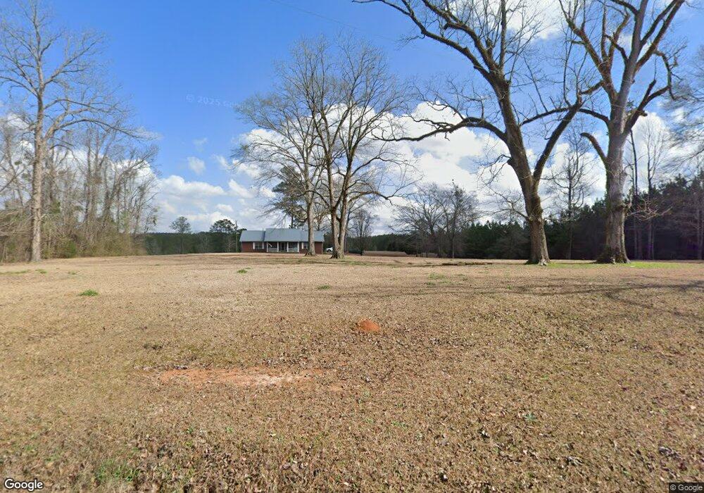
6434 Carl Price Rd Toomsuba, MS 39364
Estimated Value: $88,000 - $238,000
--
Bed
--
Bath
2,039
Sq Ft
$82/Sq Ft
Est. Value
About This Home
This home is located at 6434 Carl Price Rd, Toomsuba, MS 39364 and is currently estimated at $168,019, approximately $82 per square foot. 6434 Carl Price Rd is a home located in Lauderdale County.
Ownership History
Date
Name
Owned For
Owner Type
Purchase Details
Closed on
Jul 30, 2018
Bought by
Thomas Steven D and Thomas Jennifer D
Current Estimated Value
Home Financials for this Owner
Home Financials are based on the most recent Mortgage that was taken out on this home.
Original Mortgage
$140,000
Outstanding Balance
$121,439
Interest Rate
4.54%
Estimated Equity
$46,580
Purchase Details
Closed on
Jul 12, 2018
Sold by
Hinson William J and Hinson Donna C
Bought by
Maxson Jennifer D
Home Financials for this Owner
Home Financials are based on the most recent Mortgage that was taken out on this home.
Original Mortgage
$140,000
Outstanding Balance
$121,439
Interest Rate
4.54%
Estimated Equity
$46,580
Create a Home Valuation Report for This Property
The Home Valuation Report is an in-depth analysis detailing your home's value as well as a comparison with similar homes in the area
Home Values in the Area
Average Home Value in this Area
Purchase History
| Date | Buyer | Sale Price | Title Company |
|---|---|---|---|
| Thomas Steven D | -- | -- | |
| Maxson Jennifer D | -- | -- |
Source: Public Records
Mortgage History
| Date | Status | Borrower | Loan Amount |
|---|---|---|---|
| Open | Thomas Steven D | $140,000 | |
| Closed | Thomas Steven D | -- |
Source: Public Records
Tax History Compared to Growth
Tax History
| Year | Tax Paid | Tax Assessment Tax Assessment Total Assessment is a certain percentage of the fair market value that is determined by local assessors to be the total taxable value of land and additions on the property. | Land | Improvement |
|---|---|---|---|---|
| 2025 | $162 | $1,324 | $0 | $0 |
| 2024 | $159 | $1,301 | $0 | $0 |
| 2023 | $163 | $1,337 | $0 | $0 |
| 2022 | $169 | $1,384 | $0 | $0 |
| 2021 | $277 | $2,320 | $0 | $0 |
| 2020 | $274 | $2,374 | $0 | $0 |
| 2019 | $281 | $2,437 | $0 | $0 |
| 2018 | $491 | $0 | $0 | $0 |
| 2017 | $476 | $111,960 | $16,990 | $94,970 |
| 2016 | $458 | $111,070 | $16,100 | $94,970 |
| 2015 | $386 | $104,990 | $13,320 | $91,670 |
| 2014 | $372 | $104,180 | $12,510 | $91,670 |
Source: Public Records
Map
Nearby Homes
- 0 Susan Kennedy Rd
- 8539 Lakewood Cir
- 3701 Louise Dr
- 3758 Louise Dr
- 0 Kewanee Rd S
- 0 William Walker Rd
- 0 N Pkwy Unit 25-723
- 9159 Mae Crooker Cir
- 5778 Johnson Loop Rd
- 8948 Lake Flora Dr
- 5724 Dogwood Dr
- 0 Bethlehem Rd
- 0 Russell Mount Gilead Rd Unit LotWP001
- 1815 Willow Lake Rd
- 0 Linton Rd
- 9234 Null Rd
- 9660 Lauderdale Toomsuba Rd
- 1629 Marion Russell Rd
- 1543 Marion Russell Rd
- 1246 Jeff Davis School Rd
- 6431 Carl Price Rd
- 0 Butts Rd
- 4157 Butts Rd Unit B
- 4157 Butts Rd Unit A
- 4109 Butts Rd
- 7008 Welch Rd
- 7040 Welch Rd
- 6367 Carl Price Rd
- 4053 Butts Rd
- 4165 Butts Rd
- 7027 Welch Rd
- 6274 Carl Price Rd
- 4025 Butts Rd
- 4020 Butts Rd
- 6246 Carl Price Rd
- 6242 Carl Price Rd
- 7062 Welch Rd
- 4301 Butts Rd
- 6232 Carl Price Rd
- 4950 G Morgan Rd