6441 Highway 25 E Springfield, TN 37172
Estimated Value: $548,000 - $646,000
Studio
3
Baths
2,650
Sq Ft
$229/Sq Ft
Est. Value
About This Home
This home is located at 6441 Highway 25 E, Springfield, TN 37172 and is currently estimated at $606,745, approximately $228 per square foot. 6441 Highway 25 E is a home located in Robertson County with nearby schools including Krisle Elementary School and East Robertson High School.
Ownership History
Date
Name
Owned For
Owner Type
Purchase Details
Closed on
Sep 29, 2022
Sold by
Plumlee Talbott L and Plumlee Sonja B
Bought by
Southern Pearl Trust
Current Estimated Value
Purchase Details
Closed on
Oct 24, 2002
Bought by
Plumlee Talbott L and Plumlee Sonja B
Purchase Details
Closed on
Sep 17, 2002
Bought by
Plumlee Talbott L and Plumlee Sonja B
Create a Home Valuation Report for This Property
The Home Valuation Report is an in-depth analysis detailing your home's value as well as a comparison with similar homes in the area
Home Values in the Area
Average Home Value in this Area
Purchase History
| Date | Buyer | Sale Price | Title Company |
|---|---|---|---|
| Southern Pearl Trust | -- | -- | |
| Plumlee Talbott L | $52,400 | -- | |
| Plumlee Talbott L | $99,300 | -- |
Source: Public Records
Tax History
| Year | Tax Paid | Tax Assessment Tax Assessment Total Assessment is a certain percentage of the fair market value that is determined by local assessors to be the total taxable value of land and additions on the property. | Land | Improvement |
|---|---|---|---|---|
| 2025 | $2,651 | $147,275 | $30,450 | $116,825 |
| 2024 | $2,651 | $147,275 | $30,450 | $116,825 |
| 2023 | $2,651 | $147,275 | $30,450 | $116,825 |
| 2022 | $2,212 | $85,875 | $11,425 | $74,450 |
| 2021 | $2,212 | $85,875 | $11,425 | $74,450 |
| 2020 | $1,884 | $85,875 | $11,425 | $74,450 |
| 2019 | $1,884 | $73,125 | $11,425 | $61,700 |
| 2018 | $1,884 | $73,125 | $11,425 | $61,700 |
| 2017 | $2,059 | $66,750 | $11,800 | $54,950 |
| 2016 | $2,059 | $66,750 | $11,800 | $54,950 |
| 2015 | $1,976 | $66,750 | $11,800 | $54,950 |
| 2014 | $1,976 | $66,750 | $11,800 | $54,950 |
Source: Public Records
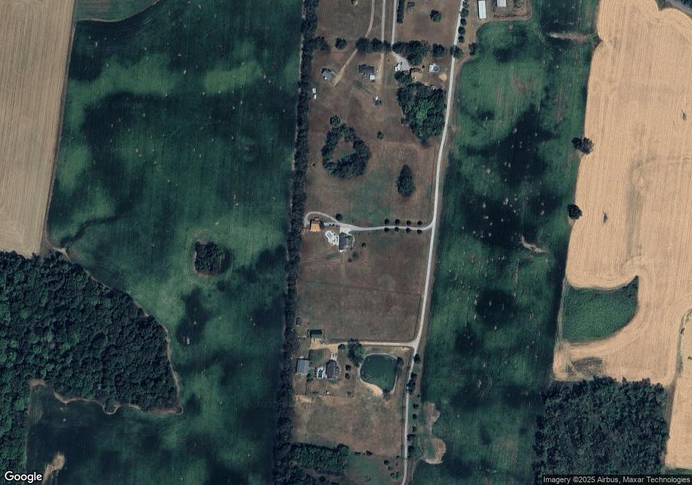
Map
Nearby Homes
- 0 Homer Worsham Rd Unit 12
- 5031 Homer Worsham Rd
- 0 Charles Dorris Rd
- 7518 Highway 49 E
- 0 Pinson Rd
- 6437 Hopewell Rd
- 4616 Woodrow Wilson Rd
- 12354 Owens Chapel Rd
- 6808 Hester Rd
- 4247 Armstrong Rd
- 4031 Wells Rd
- 4398 Woodrow Wilson Rd
- 3941 Baggett Rd
- 0 Owens Chapel Rd
- 5918 Lakeview Rd
- 0 Beards Chapel Rd Unit 2
- 0 Beards Chapel Rd Unit 1
- 0 Beards Chapel Rd Unit 3
- 3972 Baggett Rd
- 1074 Pair Six Dr
- 6441 Highway 25 E
- 6445 Highway 25 E
- 6421 Highway 25 E
- 6425 Highway 25 E
- 6431 Highway 25e
- 6443 Highway 25 E
- 6443 Highway 25e
- 6417 Highway 25e
- 6431 Highway 25 E
- 6463 Highway 25 E
- 6444 Highway 25 E
- 6430 Highway 25 E
- 6458 Highway 25 E
- 6432 Highway 25 E
- 6470 Highway 25 E
- 6478 Highway 25e
- 6478 Highway 25 E
- 6478 Highway 25 E
- 6458 Highway 25e
- 6486 Highway 25 E
Your Personal Tour Guide
Ask me questions while you tour the home.