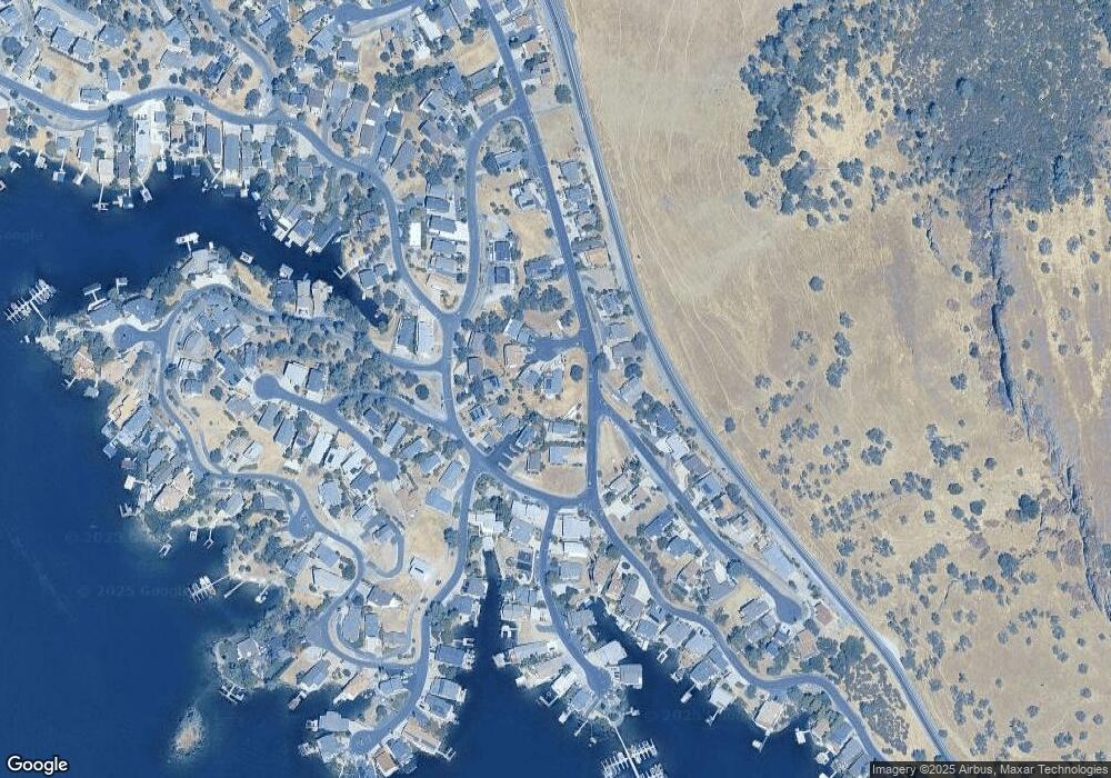
645 Hi Point Cir Unit 2 Copperopolis, CA 95228
Estimated Value: $481,306 - $574,000
2
Beds
3
Baths
2,012
Sq Ft
$262/Sq Ft
Est. Value
About This Home
This home is located at 645 Hi Point Cir Unit 2, Copperopolis, CA 95228 and is currently estimated at $527,577, approximately $262 per square foot. 645 Hi Point Cir Unit 2 is a home located in Calaveras County with nearby schools including Bret Harte Union High School.
Ownership History
Date
Name
Owned For
Owner Type
Purchase Details
Closed on
Nov 1, 2023
Sold by
Simpson Joseph D and Simpson Sharon M
Bought by
Simpson Joseph D and Simpson Sharo
Current Estimated Value
Purchase Details
Closed on
Sep 26, 2011
Sold by
Hirschaut Donald W and Hirschaut Donald Wayne
Bought by
Simpson Joseph D and Simpson Sharon M
Home Financials for this Owner
Home Financials are based on the most recent Mortgage that was taken out on this home.
Original Mortgage
$246,600
Interest Rate
4.16%
Mortgage Type
New Conventional
Purchase Details
Closed on
May 27, 2003
Sold by
Hirschaut Donald W and Hirschaut Willa J
Bought by
Hirschaut Donald W and Hirschaut Willa J
Purchase Details
Closed on
Jan 13, 2003
Sold by
Hirschaut Donald W and Hirschaut Willa J
Bought by
Hirschaut Donald W and Hirschaut Willa J
Home Financials for this Owner
Home Financials are based on the most recent Mortgage that was taken out on this home.
Original Mortgage
$163,000
Interest Rate
5.96%
Create a Home Valuation Report for This Property
The Home Valuation Report is an in-depth analysis detailing your home's value as well as a comparison with similar homes in the area
Home Values in the Area
Average Home Value in this Area
Purchase History
| Date | Buyer | Sale Price | Title Company |
|---|---|---|---|
| Simpson Joseph D | -- | Placer Title Company | |
| Simpson Joseph D | $274,000 | First American Title Company | |
| Hirschaut Donald W | -- | -- | |
| Hirschaut Donald W | -- | First American Title Ins Co |
Source: Public Records
Mortgage History
| Date | Status | Borrower | Loan Amount |
|---|---|---|---|
| Previous Owner | Simpson Joseph D | $246,600 | |
| Previous Owner | Hirschaut Donald W | $163,000 |
Source: Public Records
Tax History Compared to Growth
Tax History
| Year | Tax Paid | Tax Assessment Tax Assessment Total Assessment is a certain percentage of the fair market value that is determined by local assessors to be the total taxable value of land and additions on the property. | Land | Improvement |
|---|---|---|---|---|
| 2025 | $4,077 | $344,140 | $100,471 | $243,669 |
| 2024 | $3,476 | $337,393 | $98,501 | $238,892 |
| 2023 | $3,476 | $282,493 | $48,285 | $234,208 |
| 2022 | $3,317 | $276,955 | $47,339 | $229,616 |
| 2021 | $3,262 | $271,525 | $46,411 | $225,114 |
| 2020 | $3,238 | $268,742 | $45,936 | $222,806 |
| 2019 | $3,196 | $263,474 | $45,036 | $218,438 |
| 2018 | $3,137 | $258,308 | $44,153 | $214,155 |
| 2017 | $3,068 | $253,244 | $43,288 | $209,956 |
| 2016 | $2,531 | $201,000 | $20,000 | $181,000 |
| 2015 | $2,537 | $201,000 | $20,000 | $181,000 |
| 2014 | -- | $201,000 | $20,000 | $181,000 |
Source: Public Records
Map
Nearby Homes
- 584 Poker Flat Rd
- 572 Poker Flat Rd
- 573 Dolores Way
- 734 Sandy Bar Dr
- 554 Sunrise Rd
- 695 Foothill Rd
- 750 Sandy Bar Dr
- 771 Mother Shipton Unit 785
- 835 Foothill Rd
- 785 Poker Flat Rd
- 485 Indian Hill Rd
- 509 Indian Hill Rd
- 501 Indian Hill Rd
- 490 Bret Harte Dr
- 854 Poker Flat Rd
- 512 Bret Harte Dr
- 512 Winchester Way
- 454 Hilltop Estates Dr
- 438 Hilltop Estates Dr
- 332 Poker Flat Rd
- 653 Hi Point Cir
- 653 Hi-Point Cir
- 674 Poker Flat Rd
- 638 Hi-Point Cir
- 646 Hi-Point Cir
- 654 Hi Point Cir
- 653 Sunrise Rd
- 665 Sunrise Rd
- 677 Sunrise Rd Unit 2
- 646 Hi Point Cir
- 639 Sunrise Rd
- 682 Poker Flat Rd
- 625 Sunrise Rd
- 651 Poker Flat Rd
- 693 Sunrise Rd
- 639 Poker Flat Rd
- 611 Sunrise Rd
- 604 Poker Flat Rd
- 692 Poker Flat Rd
- 617 Poker Flat Rd Unit 2
