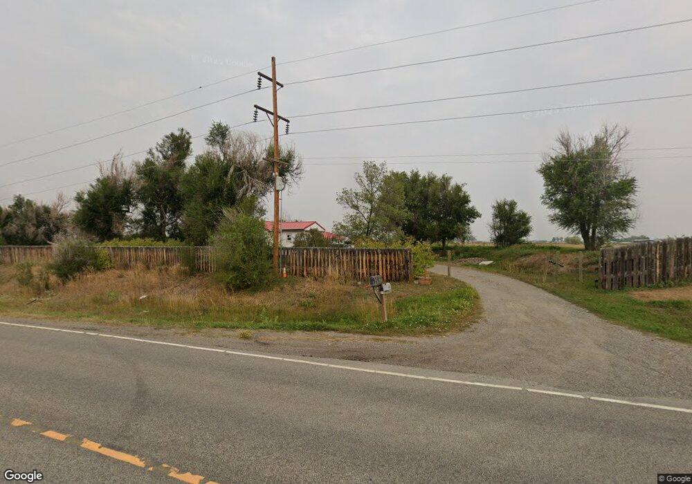
6450 Us Highway 312 Billings, MT 59105
Estimated Value: $455,000 - $484,000
3
Beds
1
Bath
1,524
Sq Ft
$308/Sq Ft
Est. Value
About This Home
This home is located at 6450 Us Highway 312, Billings, MT 59105 and is currently estimated at $468,864, approximately $307 per square foot. 6450 Us Highway 312 is a home located in Yellowstone County with nearby schools including Shepherd Elementary School, Shepherd Middle School, and Shepherd High School.
Ownership History
Date
Name
Owned For
Owner Type
Purchase Details
Closed on
Jan 8, 2016
Sold by
Roen Gary T
Bought by
Mcknight Crystal
Current Estimated Value
Home Financials for this Owner
Home Financials are based on the most recent Mortgage that was taken out on this home.
Original Mortgage
$238,095
Outstanding Balance
$189,114
Interest Rate
3.92%
Mortgage Type
FHA
Estimated Equity
$279,750
Purchase Details
Closed on
Aug 6, 2010
Sold by
Roen Gary T and Roen Stefanie K
Bought by
Roen Gary T
Home Financials for this Owner
Home Financials are based on the most recent Mortgage that was taken out on this home.
Original Mortgage
$211,197
Interest Rate
4.17%
Mortgage Type
FHA
Create a Home Valuation Report for This Property
The Home Valuation Report is an in-depth analysis detailing your home's value as well as a comparison with similar homes in the area
Home Values in the Area
Average Home Value in this Area
Purchase History
| Date | Buyer | Sale Price | Title Company |
|---|---|---|---|
| Mcknight Crystal | -- | First Montana Title | |
| Roen Gary T | -- | None Available |
Source: Public Records
Mortgage History
| Date | Status | Borrower | Loan Amount |
|---|---|---|---|
| Open | Mcknight Crystal | $238,095 | |
| Previous Owner | Roen Gary T | $211,197 |
Source: Public Records
Tax History Compared to Growth
Tax History
| Year | Tax Paid | Tax Assessment Tax Assessment Total Assessment is a certain percentage of the fair market value that is determined by local assessors to be the total taxable value of land and additions on the property. | Land | Improvement |
|---|---|---|---|---|
| 2025 | $3,051 | $372,300 | $175,044 | $197,256 |
| 2024 | $3,051 | $353,500 | $119,279 | $234,221 |
| 2023 | $3,104 | $353,500 | $119,279 | $234,221 |
| 2022 | $2,557 | $271,900 | $0 | $0 |
| 2021 | $2,674 | $271,900 | $0 | $0 |
| 2020 | $2,788 | $274,500 | $0 | $0 |
| 2019 | $2,312 | $274,500 | $0 | $0 |
| 2018 | $2,469 | $276,800 | $0 | $0 |
| 2017 | $2,398 | $273,700 | $0 | $0 |
| 2016 | $1,954 | $230,800 | $0 | $0 |
| 2015 | $1,937 | $230,800 | $0 | $0 |
| 2014 | $1,617 | $103,138 | $0 | $0 |
Source: Public Records
Map
Nearby Homes
- 6447 US Highway 312
- 5510 Powmer Rd
- 4820 Maribrooke Rd
- 5840,5850,5904 Lunder Ln
- 4935 Lewies Way
- 7133 Mustang Rd
- 6634 Killdeer Ln
- 5358 Yeoman Rd
- L11B2 Rio Lobo Cir
- L13B2 High Noon Dr
- L11B3 High Noon Dr
- L12B2 High Noon Dr
- L9B2 Rio Lobo Cir
- L10B3 High Noon Dr
- L12B3 Molly Dr
- L3B4 Trumbo Cir
- L5B4 Trumbo Cir
- L8B2 High Noon Dr
- L13B3 Molly Dr
- L2B4 True Grit St
- 6447 Highway 312
- 6532 Us Highway 312
- 6541 Highway 312
- 4940 Mcintyre Dr
- 6541 Us Highway 312
- 6607 Us Highway 312
- 6607 Highway 312
- 6622 Us Highway 312
- 4948 Mcintyre Dr
- 5541 Powmer Rd
- 5031 Mcintyre Dr
- 6643 Us Highway 312
- 4704 Chicago Rd
- 6645 Us Highway 312
- 5032 Mcintyre Dr
- 4740 Country Garden Rd
- 6715 Highway 312
- 5485 Powmer Rd
- 6726 Us Highway 312
- 4680 Country Garden Rd