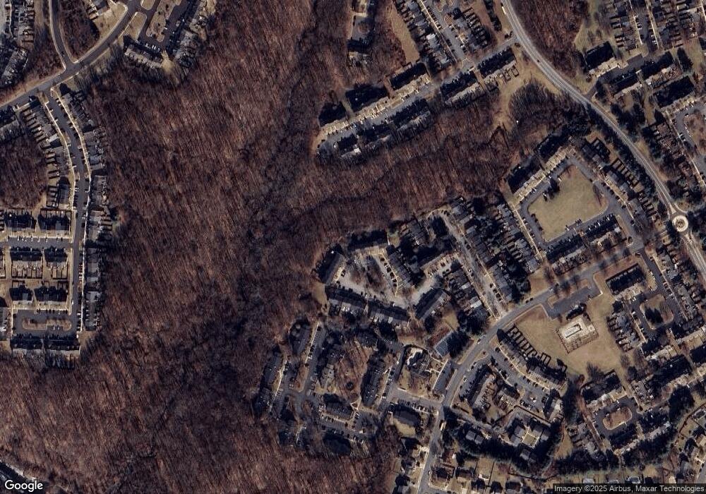
646 N Branch Ct Abingdon, MD 21009
Estimated Value: $282,521 - $356,000
--
Bed
3
Baths
1,502
Sq Ft
$219/Sq Ft
Est. Value
About This Home
This home is located at 646 N Branch Ct, Abingdon, MD 21009 and is currently estimated at $328,880, approximately $218 per square foot. 646 N Branch Ct is a home located in Harford County with nearby schools including Abingdon Elementary School, Edgewood Middle School, and Edgewood High School.
Ownership History
Date
Name
Owned For
Owner Type
Purchase Details
Closed on
Apr 8, 2004
Sold by
Wessel Todd and Wessel Rew
Bought by
Parr Richard L and Parr April A
Current Estimated Value
Purchase Details
Closed on
Mar 30, 2004
Sold by
Wessel Todd and Wessel Rew
Bought by
Parr Richard L and Parr April A
Purchase Details
Closed on
Nov 12, 1996
Sold by
Westbrook Homes At
Bought by
Wessel Todd Andrew and Wessel Paula Ann
Purchase Details
Closed on
Jun 28, 1996
Sold by
Gcf & Clarke Limited Partnership
Bought by
Westbrook Homes At and Constant Woods Inc
Create a Home Valuation Report for This Property
The Home Valuation Report is an in-depth analysis detailing your home's value as well as a comparison with similar homes in the area
Home Values in the Area
Average Home Value in this Area
Purchase History
| Date | Buyer | Sale Price | Title Company |
|---|---|---|---|
| Parr Richard L | $178,000 | -- | |
| Parr Richard L | $178,000 | -- | |
| Wessel Todd Andrew | $113,740 | -- | |
| Westbrook Homes At | $232,000 | -- |
Source: Public Records
Mortgage History
| Date | Status | Borrower | Loan Amount |
|---|---|---|---|
| Closed | Parr Richard L | -- |
Source: Public Records
Tax History Compared to Growth
Tax History
| Year | Tax Paid | Tax Assessment Tax Assessment Total Assessment is a certain percentage of the fair market value that is determined by local assessors to be the total taxable value of land and additions on the property. | Land | Improvement |
|---|---|---|---|---|
| 2025 | $2,336 | $239,067 | $0 | $0 |
| 2024 | $2,336 | $221,233 | $0 | $0 |
| 2023 | $2,217 | $203,400 | $58,500 | $144,900 |
| 2022 | $2,135 | $195,900 | $0 | $0 |
| 2021 | $2,088 | $188,400 | $0 | $0 |
| 2020 | $2,088 | $180,900 | $58,500 | $122,400 |
| 2019 | $2,088 | $180,900 | $58,500 | $122,400 |
| 2018 | $2,069 | $180,900 | $58,500 | $122,400 |
| 2017 | $2,077 | $181,600 | $0 | $0 |
| 2016 | $140 | $181,333 | $0 | $0 |
| 2015 | $2,363 | $181,067 | $0 | $0 |
| 2014 | $2,363 | $180,800 | $0 | $0 |
Source: Public Records
Map
Nearby Homes
- 647 N Branch Ct
- 625 N Branch Ct
- 627 Stone Mill Ct
- 552 Nanticoke Ct
- 416 Foreland Garth
- 3299 Deale Place
- 3700 Denton Ct
- 3623 Longridge Ct
- 3329 Midland Ct
- 3117 Freestone Ct
- 342 Overlea Place
- 309 Overlea Place
- 2309 Kateland Ct
- 2344 Kateland Ct
- 3100 Ashton Ct
- 329 Sunray Ct
- 2154 Kyle Green Rd
- 333 Sunray Ct
- 453 Crisfield Dr
- 338 Delmar Ct
- 644 N Branch Ct
- 642 N Branch Ct
- 640 N Branch Ct
- 648 N Branch Ct
- 638 N Branch Ct
- 650 N Branch Ct
- 636 N Branch Ct
- 652 N Branch Ct
- 634 N Branch Ct
- 654 N Branch Ct
- 632 N Branch Ct
- 656 N Branch Ct
- 658 N Branch Ct
- 630 N Branch Ct
- 660 N Branch Ct
- 628 N Branch Ct
- 626 N Branch Ct
- 624 N Branch Ct
- 622 N Branch Ct
- 659 N Branch Ct
