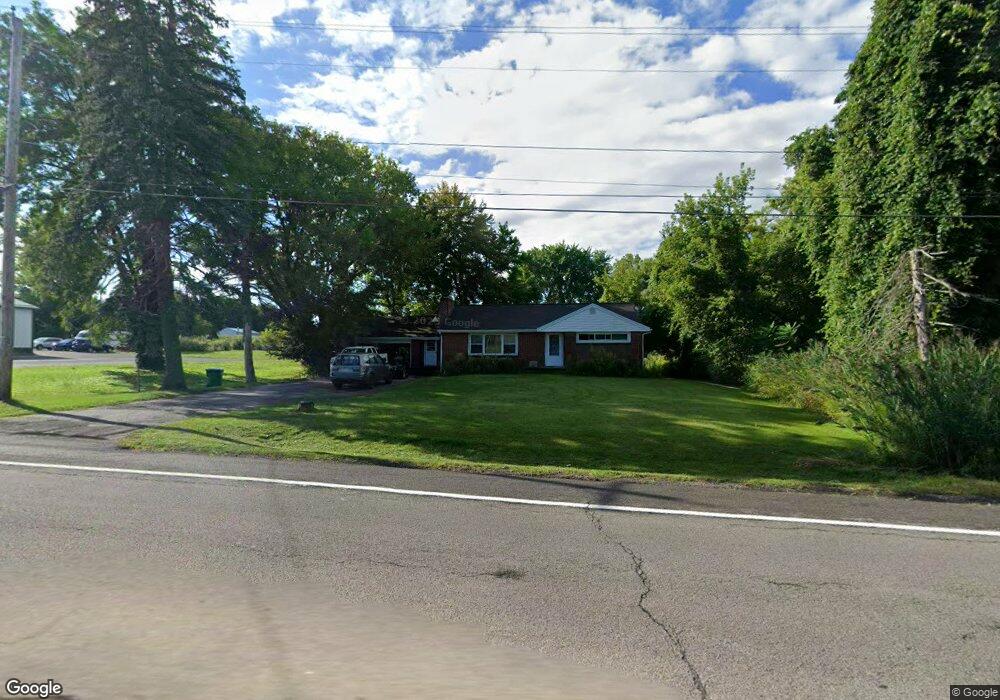
6466 Ridge Rd Lockport, NY 14094
Estimated Value: $193,000 - $250,000
2
Beds
1
Bath
1,042
Sq Ft
$213/Sq Ft
Est. Value
About This Home
This home is located at 6466 Ridge Rd, Lockport, NY 14094 and is currently estimated at $222,297, approximately $213 per square foot. 6466 Ridge Rd is a home located in Niagara County with nearby schools including Newfane Elementary School, Newfane Middle School, and Newfane Senior High School.
Ownership History
Date
Name
Owned For
Owner Type
Purchase Details
Closed on
Dec 22, 2009
Sold by
Roger Armand R and Roger Linda
Bought by
Mahoney Jacob D
Current Estimated Value
Home Financials for this Owner
Home Financials are based on the most recent Mortgage that was taken out on this home.
Original Mortgage
$101,600
Outstanding Balance
$71,966
Interest Rate
4.85%
Mortgage Type
Purchase Money Mortgage
Estimated Equity
$150,331
Create a Home Valuation Report for This Property
The Home Valuation Report is an in-depth analysis detailing your home's value as well as a comparison with similar homes in the area
Home Values in the Area
Average Home Value in this Area
Purchase History
| Date | Buyer | Sale Price | Title Company |
|---|---|---|---|
| Mahoney Jacob D | $97,400 | None Available |
Source: Public Records
Mortgage History
| Date | Status | Borrower | Loan Amount |
|---|---|---|---|
| Open | Mahoney Jacob D | $101,600 |
Source: Public Records
Tax History Compared to Growth
Tax History
| Year | Tax Paid | Tax Assessment Tax Assessment Total Assessment is a certain percentage of the fair market value that is determined by local assessors to be the total taxable value of land and additions on the property. | Land | Improvement |
|---|---|---|---|---|
| 2024 | $4,415 | $196,000 | $34,400 | $161,600 |
| 2023 | $4,259 | $178,000 | $29,400 | $148,600 |
| 2022 | $4,005 | $162,000 | $29,400 | $132,600 |
| 2021 | $3,797 | $114,300 | $18,800 | $95,500 |
| 2020 | $2,881 | $114,300 | $18,800 | $95,500 |
| 2019 | $2,641 | $100,000 | $18,800 | $81,200 |
| 2018 | $2,779 | $97,200 | $18,800 | $78,400 |
| 2017 | $2,641 | $90,000 | $18,800 | $71,200 |
| 2016 | $2,583 | $90,000 | $18,800 | $71,200 |
| 2015 | -- | $90,000 | $18,800 | $71,200 |
| 2014 | -- | $90,000 | $18,800 | $71,200 |
Source: Public Records
Map
Nearby Homes
- 6358 Ridge Rd
- 3902 Lockport Olcott Rd
- 6603 Mulligan Dr
- 4307 Lake Ave
- 4311 Lake Ave
- 3708 Lockport Olcott Rd
- 3980 Ridgelea Dr
- 6077 Ridge Rd
- 4180 Day Rd
- 5986 Ridge Rd
- 6361 Old Niagara Rd Unit 6365
- 3732 Ewings Rd
- 225 Center St
- 82 Lake Ave
- 225 Olcott St
- 166 Olcott St
- 2 Harwood St
- 246 Clinton St
- 225 Clinton St
- 14 Glenwood Ave
- 6478 Ridge Rd
- 6437 Ridge Rd
- 4012 Lake Ave
- 4022 Lake Ave
- 6440 Ridge Rd
- 4018 Lake Ave
- 6434 Ridge Rd
- 4028 Lake Ave
- 6426 Ridge Rd
- 6423 Ridge Rd
- 3968 Lockport Olcott Rd
- 4031 Lake Ave
- 3960 Lockport Olcott Rd
- 4040 Lake Ave
- 3971 Lkpt Olcott Rd
- 6419 Ridge Rd
- 3989 Rathke Heights
- 4035 Lake Ave
- 3962 Lockport Olcott Rd
- 3983 Rathke Heights