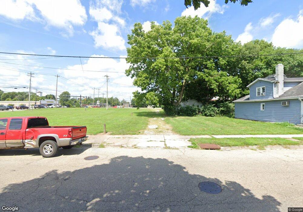
647 E Cresent Ln Franklin, OH 45005
Estimated Value: $233,000 - $261,829
3
Beds
2
Baths
1,118
Sq Ft
$220/Sq Ft
Est. Value
About This Home
This home is located at 647 E Cresent Ln, Franklin, OH 45005 and is currently estimated at $245,457, approximately $219 per square foot. 647 E Cresent Ln is a home located in Warren County with nearby schools including Alden R Brown Elementary School, Chamberlain Middle School, and Carlisle High School.
Ownership History
Date
Name
Owned For
Owner Type
Purchase Details
Closed on
Jan 3, 2025
Sold by
Griffin Linda L and Dalton Linda L
Bought by
Payton Dwight and Payton Patricia
Current Estimated Value
Purchase Details
Closed on
Aug 5, 2013
Sold by
Rose David and Mcdougal Tammy R
Bought by
Dalton Linda L and Griffin Linda L
Purchase Details
Closed on
May 12, 1988
Sold by
Dalton Earl and Dalton Linda L
Bought by
Dalt0n and Dalt0n Linda L
Purchase Details
Closed on
Aug 8, 1978
Sold by
Dalton Dalton and Dalton Earl
Create a Home Valuation Report for This Property
The Home Valuation Report is an in-depth analysis detailing your home's value as well as a comparison with similar homes in the area
Home Values in the Area
Average Home Value in this Area
Purchase History
| Date | Buyer | Sale Price | Title Company |
|---|---|---|---|
| Payton Dwight | $230,000 | Home Services Title | |
| Payton Dwight | $230,000 | Home Services Title | |
| Dalton Linda L | -- | None Available | |
| Dalt0n | -- | -- | |
| -- | -- | -- |
Source: Public Records
Tax History Compared to Growth
Tax History
| Year | Tax Paid | Tax Assessment Tax Assessment Total Assessment is a certain percentage of the fair market value that is determined by local assessors to be the total taxable value of land and additions on the property. | Land | Improvement |
|---|---|---|---|---|
| 2024 | $2,242 | $67,020 | $19,250 | $47,770 |
| 2023 | $1,597 | $45,671 | $10,678 | $34,993 |
| 2022 | $1,585 | $45,672 | $10,679 | $34,993 |
| 2021 | $1,531 | $45,672 | $10,679 | $34,993 |
| 2020 | $1,506 | $40,418 | $9,450 | $30,968 |
| 2019 | $1,527 | $40,418 | $9,450 | $30,968 |
| 2018 | $1,480 | $40,418 | $9,450 | $30,968 |
| 2017 | $1,291 | $33,352 | $8,299 | $25,053 |
| 2016 | $1,131 | $33,352 | $8,299 | $25,053 |
| 2015 | $1,135 | $33,352 | $8,299 | $25,053 |
| 2014 | $1,097 | $33,350 | $8,300 | $25,050 |
| 2013 | $1,093 | $42,190 | $10,500 | $31,690 |
Source: Public Records
Map
Nearby Homes
- 605 Spring Ave
- 413 Spring Ave
- 315 Bridge St
- 730 Park Ave
- 728 Park Ave
- 228 Bridge St
- 121 Boys Ave
- 102 Warren Ave
- 511 Forest Ave
- 509 Forest Ave
- 410 Park Ave
- 1223 Waterbury Dr
- 1215 Waterbury Dr
- 1221 Waterbury Dr
- 533 Clay St
- 42 N River St
- 5575 Fairview Dr
- 291 Judy Ave
- 0 Victoria Dr Unit 942075
- 0 Victoria Dr Unit 1852824
- 641 E Cresent Ln
- 642 E Cresent Ln
- 642 E Crescent Dr
- 635 E Cresent Ln
- 626 W Cresent Ln
- 629 W Cresent Ln
- 629 E Cresent Ln
- 636 E Cresent Ln
- 636 E Cresent Ln
- 636 E Cresent Ln
- 631 W Cresent Ln
- 618 W Cresent Ln
- 621 E Cresent Ln
- 630 E Cresent Ln
- 625 W Crescent Ln
- 625 W Cresent Ln
- 622 E Cresent Ln
- 610 W Cresent Ln
- 613 E Cresent Ln
- 617 W Crescent Ln
