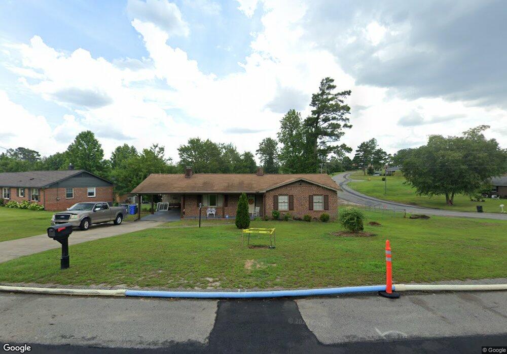
6471 Freeport Rd Fayetteville, NC 28303
Westover NeighborhoodEstimated Value: $190,701 - $202,000
3
Beds
2
Baths
1,363
Sq Ft
$145/Sq Ft
Est. Value
About This Home
This home is located at 6471 Freeport Rd, Fayetteville, NC 28303 and is currently estimated at $197,425, approximately $144 per square foot. 6471 Freeport Rd is a home located in Cumberland County with nearby schools including Benjamin J. Martin Elementary School, Westover Middle, and Westover High.
Ownership History
Date
Name
Owned For
Owner Type
Purchase Details
Closed on
Jul 13, 2005
Sold by
Kucera Robert W
Bought by
Andrews Alonzo
Current Estimated Value
Home Financials for this Owner
Home Financials are based on the most recent Mortgage that was taken out on this home.
Original Mortgage
$73,600
Outstanding Balance
$38,246
Interest Rate
5.59%
Mortgage Type
New Conventional
Estimated Equity
$159,179
Create a Home Valuation Report for This Property
The Home Valuation Report is an in-depth analysis detailing your home's value as well as a comparison with similar homes in the area
Home Values in the Area
Average Home Value in this Area
Purchase History
| Date | Buyer | Sale Price | Title Company |
|---|---|---|---|
| Andrews Alonzo | $92,000 | -- |
Source: Public Records
Mortgage History
| Date | Status | Borrower | Loan Amount |
|---|---|---|---|
| Open | Andrews Alonzo | $73,600 |
Source: Public Records
Tax History Compared to Growth
Tax History
| Year | Tax Paid | Tax Assessment Tax Assessment Total Assessment is a certain percentage of the fair market value that is determined by local assessors to be the total taxable value of land and additions on the property. | Land | Improvement |
|---|---|---|---|---|
| 2024 | $2,396 | $110,861 | $21,000 | $89,861 |
| 2023 | $1,884 | $110,861 | $21,000 | $89,861 |
| 2022 | $1,667 | $110,861 | $21,000 | $89,861 |
| 2021 | $1,667 | $110,861 | $21,000 | $89,861 |
| 2019 | $1,632 | $101,200 | $21,000 | $80,200 |
| 2018 | $1,632 | $101,200 | $21,000 | $80,200 |
| 2017 | $1,529 | $101,200 | $21,000 | $80,200 |
| 2016 | $1,469 | $107,500 | $20,000 | $87,500 |
| 2015 | $1,455 | $107,500 | $20,000 | $87,500 |
| 2014 | $1,448 | $107,500 | $20,000 | $87,500 |
Source: Public Records
Map
Nearby Homes
- 6469 Freeport Rd
- 6470 Freeport Rd
- 706 Dandridge Dr
- 703 Dandridge Dr
- 6467 Freeport Rd
- 610 Roundtree Dr
- 6468 Freeport Rd
- 705 Dandridge Dr
- 6466 Freeport Rd
- 708 Dandridge Dr
- 608 Roundtree Dr
- 707 Dandridge Dr
- 6464 Freeport Rd
- 704 Roundtree Dr
- 7119 Stockport Cir
- 7119 Stockport Cir Unit 56
- 606 Roundtree Dr
- 6463 Freeport Rd
- 709 Dandridge Dr
- 710 Dandridge Dr