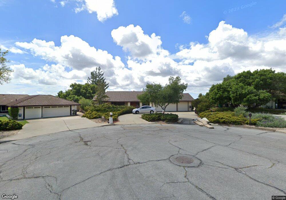
649 Burning Tree Way Lompoc, CA 93436
Estimated Value: $984,000 - $1,183,000
4
Beds
3
Baths
2,411
Sq Ft
$457/Sq Ft
Est. Value
About This Home
This home is located at 649 Burning Tree Way, Lompoc, CA 93436 and is currently estimated at $1,101,063, approximately $456 per square foot. 649 Burning Tree Way is a home located in Santa Barbara County with nearby schools including Buena Vista Elementary School and Cabrillo High School.
Ownership History
Date
Name
Owned For
Owner Type
Purchase Details
Closed on
Nov 3, 1994
Sold by
Loring Charles L and Loring 1988 Trust
Bought by
Apple A Richard and Apple Beverly J
Current Estimated Value
Home Financials for this Owner
Home Financials are based on the most recent Mortgage that was taken out on this home.
Original Mortgage
$205,000
Interest Rate
8.92%
Mortgage Type
Seller Take Back
Create a Home Valuation Report for This Property
The Home Valuation Report is an in-depth analysis detailing your home's value as well as a comparison with similar homes in the area
Home Values in the Area
Average Home Value in this Area
Purchase History
| Date | Buyer | Sale Price | Title Company |
|---|---|---|---|
| Apple A Richard | $255,000 | Chicago Title Company |
Source: Public Records
Mortgage History
| Date | Status | Borrower | Loan Amount |
|---|---|---|---|
| Previous Owner | Apple A Richard | $205,000 |
Source: Public Records
Tax History Compared to Growth
Tax History
| Year | Tax Paid | Tax Assessment Tax Assessment Total Assessment is a certain percentage of the fair market value that is determined by local assessors to be the total taxable value of land and additions on the property. | Land | Improvement |
|---|---|---|---|---|
| 2025 | $5,177 | $453,217 | $201,553 | $251,664 |
| 2023 | $5,177 | $435,620 | $193,727 | $241,893 |
| 2022 | $5,094 | $427,079 | $189,929 | $237,150 |
| 2021 | $5,148 | $418,705 | $186,205 | $232,500 |
| 2020 | $5,095 | $414,412 | $184,296 | $230,116 |
| 2019 | $5,018 | $406,287 | $180,683 | $225,604 |
| 2018 | $4,945 | $398,322 | $177,141 | $221,181 |
| 2017 | $4,770 | $390,513 | $173,668 | $216,845 |
| 2016 | $4,417 | $382,857 | $170,263 | $212,594 |
| 2014 | $4,321 | $369,721 | $164,421 | $205,300 |
Source: Public Records
Map
Nearby Homes
- 579 Saint Andrews Way
- 4131 Oakwood Rd
- 445 Firestone Way
- 4464 Greenbrier Rd
- 0 Oak Hill Dr Unit 24-783
- 317 Medinah Ln
- 210 Oak Hill Dr
- 220 Oak Hill Dr
- 369 Falcon Crest Dr
- 3925 Clubhouse Ct
- 3987 Agena Way
- 189 Galaxy Way
- 4185 Vanguard Dr
- 3986 Spica Way
- 196 Galaxy Way
- 167 Aldebaran Ave
- 4123 Constellation Rd
- 4533 Falcon Dr
- 244 Pegasus Ave
- 4406 Capricorn Ct
- 659 Burning Tree Way
- 639 Burning Tree Way
- 629 Burning Tree Way
- 679 Saint Andrews Way
- 619 Burning Tree Way
- 0 Saint Andrews Way
- 609 Burning Tree Way
- 689 Saint Andrews Way
- 648 Saint Andrews Way
- 699 Saint Andrews Way
- 490 Oak Hill Dr
- 480 Oak Hill Dr
- 470 Oak Hill Dr
- 460 Oak Hill Dr
- 668 Saint Andrews Way
- 450 Oak Hill Dr
- 440 Oak Hill Dr
- 688 Saint Andrews Way
- 701 Saint Andrews Way