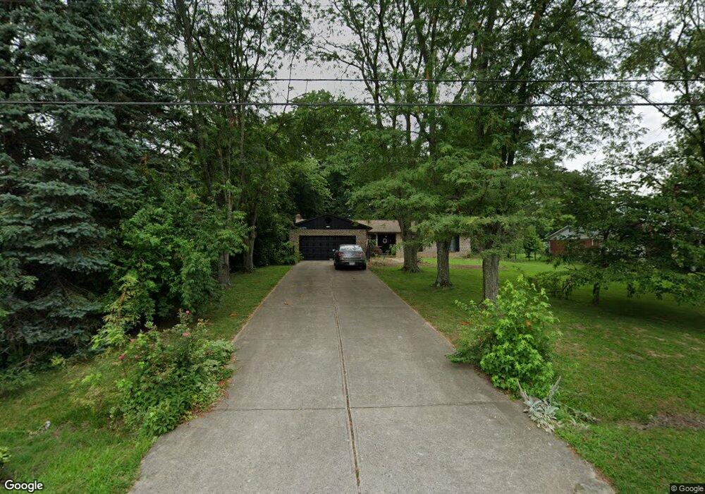
6490 West Rd Maineville, OH 45039
Estimated Value: $291,607 - $306,000
About This Home
This home is located at 6490 West Rd, Maineville, OH 45039 and is currently estimated at $299,152, approximately $225 per square foot. 6490 West Rd is a home located in Warren County with nearby schools including Little Miami Early Childhood Center, Little Miami Intermediate Middle School, and Little Miami Middle School.
Ownership History
We collect this data history from publicly available records. To have your information removed, we recommend requesting removal directly through your county’s website.
Purchase Details
Home Financials for this Owner
Home Financials are based on the most recent Mortgage that was taken out on this home.Purchase Details
Purchase Details
Home Values in the Area
Average Home Value in this Area
Purchase History
We collect this data history from publicly available records. To have your information removed, we recommend requesting removal directly through your county’s website.
| Date | Buyer | Sale Price | Title Company |
|---|---|---|---|
| $252,960 | None Listed On Document | ||
| $74,000 | -- | ||
| $58,000 | -- |
Mortgage History
We collect this data history from publicly available records. To have your information removed, we recommend requesting removal directly through your county’s website.
| Date | Status | Borrower | Loan Amount |
|---|---|---|---|
| Open | $236,771 |
Tax History
We collect this data history from publicly available records. To have your information removed, we recommend requesting removal directly through your county’s website.
| Year | Tax Paid | Tax Assessment Tax Assessment Total Assessment is a certain percentage of the fair market value that is determined by local assessors to be the total taxable value of land and additions on the property. | Land | Improvement |
|---|---|---|---|---|
| 2025 | $3,604 | $81,210 | $22,050 | $59,160 |
| 2024 | $3,604 | $81,210 | $22,050 | $59,160 |
| 2023 | $2,512 | $59,199 | $12,915 | $46,284 |
| 2022 | $2,482 | $59,199 | $12,915 | $46,284 |
| 2021 | $2,367 | $59,199 | $12,915 | $46,284 |
| 2020 | $2,164 | $48,129 | $10,500 | $37,629 |
| 2019 | $2,201 | $48,129 | $10,500 | $37,629 |
| 2018 | $2,145 | $48,129 | $10,500 | $37,629 |
| 2017 | $1,649 | $39,018 | $8,645 | $30,373 |
| 2016 | $1,689 | $39,018 | $8,645 | $30,373 |
| 2015 | $1,688 | $39,018 | $8,645 | $30,373 |
| 2014 | $1,750 | $36,460 | $8,080 | $28,390 |
| 2013 | $1,711 | $47,390 | $10,500 | $36,890 |
Map
- 6212 Turning Leaf Way
- 6289 Maple Grove
- 222 Indian Lake Dr
- 151 Arbor Glen Ct
- 6017 Turning Leaf Way
- 6887 Erie Dr
- 98 Bannock Dr
- 5917 Pepperridge Ct
- 74 Coyote Dr
- 668 Thornton Dr
- 547 Woodbine Ct
- 255 Delaware Dr
- 723 Grande Oaks Dr
- 6520 Sioux Pass Ct
- 5687 Pepperridge Ct
- 7177 Welbeck Dr
- 5984 Oak Leaf Ct
- 1076 Oak Forest Dr
- 873 U S 22
- 422 Wyndham Dr
Ask me questions while you tour the home.