6493 Riverside Dr Conover, NC 28613
Lake Hickory NeighborhoodEstimated Value: $351,000 - $612,092
1
Bed
2
Baths
1,411
Sq Ft
$346/Sq Ft
Est. Value
About This Home
This home is located at 6493 Riverside Dr, Conover, NC 28613 and is currently estimated at $487,523, approximately $345 per square foot. 6493 Riverside Dr is a home located in Catawba County with nearby schools including Oxford Elementary School, River Bend Middle School, and Bunker Hill High School.
Ownership History
Date
Name
Owned For
Owner Type
Purchase Details
Closed on
Jan 29, 2018
Sold by
Corpening Terry L and Corpening Penny C
Bought by
Corpening Terry Lee
Current Estimated Value
Purchase Details
Closed on
May 11, 2015
Sold by
Corpening Terry L and Corpening Penny M
Bought by
Corpening Terry L and Corpening Penny M
Purchase Details
Closed on
Dec 31, 1999
Purchase Details
Closed on
Sep 13, 1999
Purchase Details
Closed on
Dec 31, 1998
Purchase Details
Closed on
Jul 18, 1989
Purchase Details
Closed on
Jul 16, 1984
Purchase Details
Closed on
Aug 18, 1980
Purchase Details
Closed on
Dec 19, 1974
Purchase Details
Closed on
May 23, 1972
Purchase Details
Closed on
Feb 10, 1972
Create a Home Valuation Report for This Property
The Home Valuation Report is an in-depth analysis detailing your home's value as well as a comparison with similar homes in the area
Home Values in the Area
Average Home Value in this Area
Purchase History
| Date | Buyer | Sale Price | Title Company |
|---|---|---|---|
| Corpening Terry Lee | -- | None Available | |
| Corpening Terry L | -- | Attorney | |
| -- | -- | -- | |
| -- | -- | -- | |
| -- | -- | -- | |
| -- | $2,000 | -- | |
| -- | -- | -- | |
| Corpening David Adams | $13,000 | -- | |
| -- | $14,500 | -- | |
| -- | -- | -- | |
| -- | $2,000 | -- | |
| -- | $4,000 | -- | |
| -- | $3,500 | -- |
Source: Public Records
Tax History
| Year | Tax Paid | Tax Assessment Tax Assessment Total Assessment is a certain percentage of the fair market value that is determined by local assessors to be the total taxable value of land and additions on the property. | Land | Improvement |
|---|---|---|---|---|
| 2025 | $2,277 | $495,600 | $91,600 | $404,000 |
| 2024 | $2,277 | $495,600 | $91,600 | $404,000 |
| 2023 | $2,277 | $331,800 | $78,500 | $253,300 |
| 2022 | $2,124 | $331,800 | $78,500 | $253,300 |
| 2021 | $1,827 | $285,500 | $78,500 | $207,000 |
| 2020 | $1,827 | $285,500 | $78,500 | $207,000 |
| 2019 | $1,827 | $285,500 | $0 | $0 |
| 2018 | $1,625 | $253,900 | $78,500 | $175,400 |
| 2017 | $1,625 | $0 | $0 | $0 |
| 2016 | $1,037 | $0 | $0 | $0 |
| 2015 | -- | $81,300 | $78,300 | $3,000 |
| 2014 | -- | $79,900 | $78,400 | $1,500 |
Source: Public Records
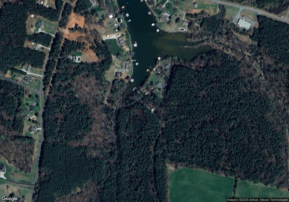
Map
Nearby Homes
- 6580 Central Dr
- 6692 Valwood Rd
- 6343 Huntington Ln Unit 1
- 166 Mull Dr
- 15 Mull Dr
- 77 Trenton Trails Dr
- 162 Riverview Acres Ln
- Lot 2 Sam Poole Ln
- Lot 3 Sam Poole Ln
- 6234 Ruffin Ln
- 390 River Shoals Ridge Dr
- 5876 St Peters Church Rd
- 114 Franklin Ln Unit 11
- 6118 Windover Creek Ln Unit 17
- 1341 Misty Ln Unit 9
- 1285 Misty Ln Unit 6
- 1265 Misty Ln
- 1320 Misty Ln Unit 13
- 1296 Misty Ln Unit 14
- 28.8 Acres +/- Carver House Rd
- 6507 Riverside Dr
- 6513 Riverside Dr
- 6523 Riverside Dr
- 6530 Central Dr
- 6535 Riverside Dr
- 6540 Central Dr
- 6554 Central Dr
- 6524 Valwood Rd
- 6704 Dam Cove Rd
- 6576 Central Dr
- 6714 Dam Cove Rd
- 6698 Dam Cove Rd
- 6726 Dam Cove Rd
- 6590 Central Dr
- 6690 Dam Cove Rd
- 6732 Dam Cove Rd
- 6678 Dam Cove Rd
- 6606 Central Dr
- 6600 Central Dr
- 6471 Valwood Rd
Your Personal Tour Guide
Ask me questions while you tour the home.