65 Cromwell Point Rd Holderness, NH 03245
Estimated Value: $3,404,761 - $5,830,000
3
Beds
3
Baths
3,403
Sq Ft
$1,281/Sq Ft
Est. Value
About This Home
This home is located at 65 Cromwell Point Rd, Holderness, NH 03245 and is currently estimated at $4,358,254, approximately $1,280 per square foot. 65 Cromwell Point Rd is a home with nearby schools including Holderness Central School and Plymouth Regional High School.
Ownership History
Date
Name
Owned For
Owner Type
Purchase Details
Closed on
Dec 20, 2012
Sold by
Anderson Brenton D
Bought by
Anderson Ft
Current Estimated Value
Purchase Details
Closed on
Jan 17, 2007
Sold by
Hoye Robert W
Bought by
Brenton D Anderson T
Home Financials for this Owner
Home Financials are based on the most recent Mortgage that was taken out on this home.
Original Mortgage
$2,000,000
Interest Rate
6.14%
Mortgage Type
Purchase Money Mortgage
Create a Home Valuation Report for This Property
The Home Valuation Report is an in-depth analysis detailing your home's value as well as a comparison with similar homes in the area
Home Values in the Area
Average Home Value in this Area
Purchase History
| Date | Buyer | Sale Price | Title Company |
|---|---|---|---|
| Anderson Ft | -- | -- | |
| Anderson Brenton D | -- | -- | |
| Brenton D Anderson T | $2,725,000 | -- |
Source: Public Records
Mortgage History
| Date | Status | Borrower | Loan Amount |
|---|---|---|---|
| Previous Owner | Brenton D Anderson T | $2,000,000 |
Source: Public Records
Tax History Compared to Growth
Tax History
| Year | Tax Paid | Tax Assessment Tax Assessment Total Assessment is a certain percentage of the fair market value that is determined by local assessors to be the total taxable value of land and additions on the property. | Land | Improvement |
|---|---|---|---|---|
| 2024 | $36,886 | $4,264,300 | $3,365,600 | $898,700 |
| 2023 | $36,630 | $4,264,300 | $3,365,600 | $898,700 |
| 2022 | $30,420 | $2,711,200 | $1,951,300 | $759,900 |
| 2021 | $30,657 | $2,710,600 | $1,951,300 | $759,300 |
| 2020 | $35,284 | $2,598,200 | $2,049,000 | $549,200 |
| 2019 | $36,262 | $2,753,400 | $2,049,000 | $704,400 |
| 2018 | $35,326 | $2,744,800 | $2,049,000 | $695,800 |
| 2017 | $32,873 | $2,318,300 | $1,731,500 | $586,800 |
| 2016 | $32,873 | $2,318,300 | $1,731,500 | $586,800 |
| 2015 | $32,873 | $2,318,300 | $1,731,500 | $586,800 |
| 2014 | $32,111 | $2,233,050 | $1,648,750 | $584,300 |
| 2011 | $28,776 | $2,186,600 | $1,573,500 | $613,100 |
Source: Public Records
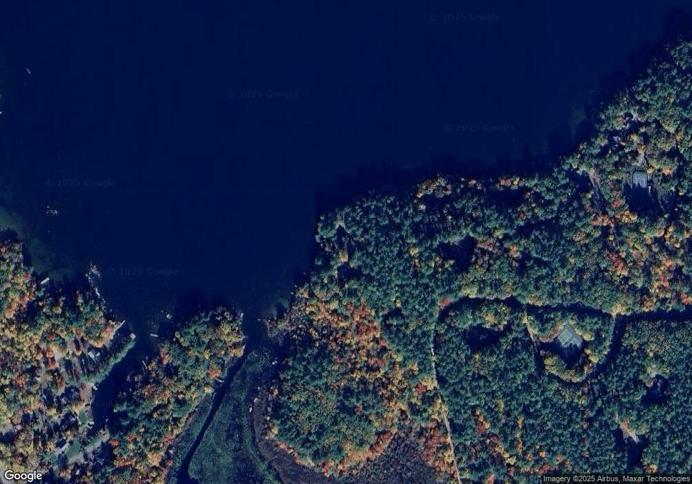
Map
Nearby Homes
- 20 Circle Dr Unit 41
- 28 Potato Island
- 384 New Hampshire 113
- 35 Butternut Ln
- 38 Range Rd
- 46 Laurel Island Ln
- 73 Maple Ridge Rd
- 206 High Country Way Unit (aka Unit 100)
- 265 High Country Way
- 7 Hollows Rd
- 47 Overlook Rd
- 164 Mead Farm Rd
- 6 Buttonwood Rd
- 14 Overlook Rd
- 37 Old Ledge Rd
- 11 Sebec Rd
- 11 Us Route 3
- 25 Elliot Rd
- 388 Perch Pond Rd
- 12 Peaked Hill Rd
- 16 Circle Dr Unit 58
- 16 Circle Dr Unit 62
- 16 Circle Dr Unit 59
- 16 Circle Dr Unit 56
- 16 Circle Dr Unit 61
- 16 Circle Dr Unit 55
- 16 Circle Dr Unit 57
- 16 Circle Dr
- Unit 52 18 Circle Drive Unit 52 Unit 52
- 28 Circle Dr Unit 19
- 28 Circle Dr Unit 15
- 28 Circle Dr Unit 21
- 28 Circle Dr Unit 20
- 28 Circle Dr Unit 22
- 28 Circle Dr
- 85 Cromwell Point Rd
- 32 Circle Dr Unit 32
- 6 Circle Dr
- 51 Circle Dr Unit 51
- 42 Grapevine Cove Rd