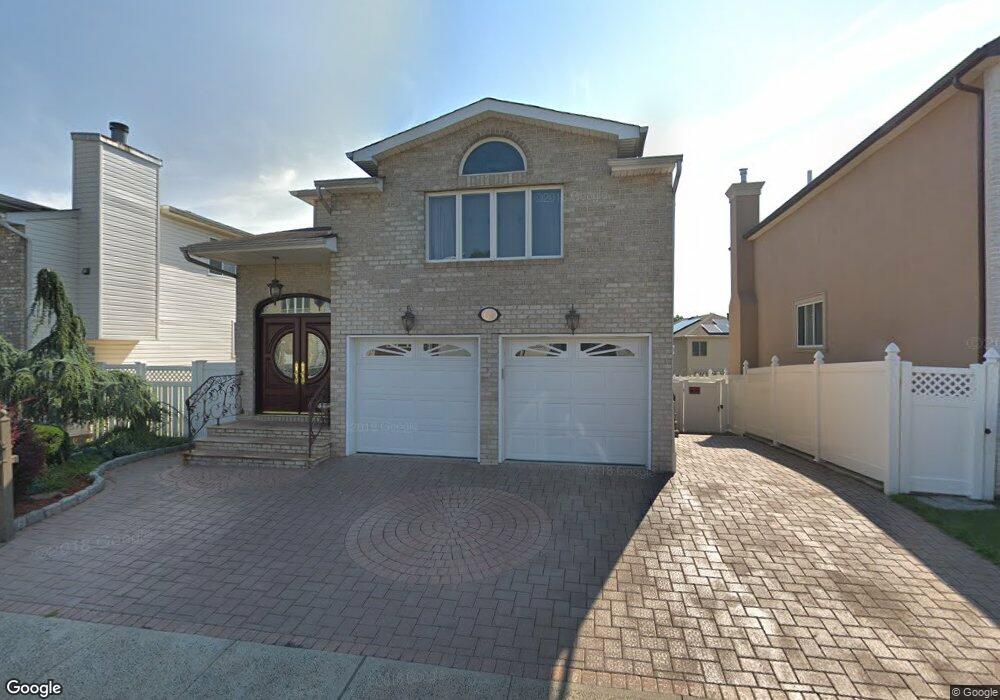
65 Dexter Ave Staten Island, NY 10309
Woodrow NeighborhoodEstimated Value: $1,115,000 - $1,399,634
--
Bed
--
Bath
2,800
Sq Ft
$446/Sq Ft
Est. Value
About This Home
This home is located at 65 Dexter Ave, Staten Island, NY 10309 and is currently estimated at $1,248,159, approximately $445 per square foot. 65 Dexter Ave is a home located in Richmond County with nearby schools including P.S. 56 - The Louis Desario School, Is 34 Tottenville, and Tottenville High School.
Ownership History
Date
Name
Owned For
Owner Type
Purchase Details
Closed on
Dec 21, 2015
Sold by
Galante Girolama
Bought by
Galante Josephina and Galante Giovanni
Current Estimated Value
Purchase Details
Closed on
Sep 24, 2002
Sold by
Sharrotts Development Corp
Bought by
Galante Girolama
Home Financials for this Owner
Home Financials are based on the most recent Mortgage that was taken out on this home.
Original Mortgage
$215,000
Interest Rate
6.02%
Mortgage Type
Purchase Money Mortgage
Create a Home Valuation Report for This Property
The Home Valuation Report is an in-depth analysis detailing your home's value as well as a comparison with similar homes in the area
Home Values in the Area
Average Home Value in this Area
Purchase History
| Date | Buyer | Sale Price | Title Company |
|---|---|---|---|
| Galante Josephina | -- | None Available | |
| Galante Girolama | $366,000 | -- |
Source: Public Records
Mortgage History
| Date | Status | Borrower | Loan Amount |
|---|---|---|---|
| Previous Owner | Galante Girolama | $215,000 |
Source: Public Records
Tax History Compared to Growth
Tax History
| Year | Tax Paid | Tax Assessment Tax Assessment Total Assessment is a certain percentage of the fair market value that is determined by local assessors to be the total taxable value of land and additions on the property. | Land | Improvement |
|---|---|---|---|---|
| 2025 | $5,351 | $82,380 | $11,751 | $70,629 |
| 2024 | $5,455 | $67,320 | $14,271 | $53,049 |
| 2023 | $5,005 | $57,438 | $13,796 | $43,642 |
| 2022 | $4,750 | $61,080 | $15,780 | $45,300 |
| 2021 | $4,668 | $53,040 | $15,780 | $37,260 |
| 2020 | $4,751 | $58,620 | $15,780 | $42,840 |
| 2019 | $4,648 | $54,300 | $15,780 | $38,520 |
| 2018 | $4,220 | $47,865 | $13,833 | $34,032 |
| 2017 | $3,957 | $45,156 | $14,808 | $30,348 |
| 2016 | $3,637 | $42,600 | $15,780 | $26,820 |
| 2015 | $3,721 | $45,120 | $13,140 | $31,980 |
| 2014 | $3,721 | $45,120 | $13,140 | $31,980 |
Source: Public Records
Map
Nearby Homes
- 63 Dexter Ave
- 67 Dexter Ave
- 59 Dexter Ave
- 63 Brookside Loop
- 69 Dexter Ave
- 57 Dexter Ave
- 61 Brookside Loop
- 71 Dexter Ave
- 55 Dexter Ave
- 34 Brookside Loop
- 64 Dexter Ave
- 66 Dexter Ave
- 73 Dexter Ave
- 68 Dexter Ave
- 58 Dexter Ave
- 51 Dexter Ave
- 59 Brookside Loop
- 104 Anthony St
- 40 Brookside Loop
- 70 Dexter Ave