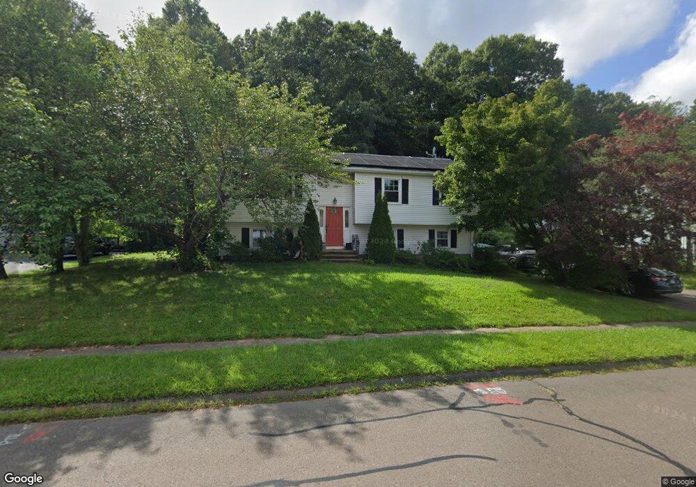
65 Knox Blvd Middletown, CT 06457
Westfield NeighborhoodEstimated Value: $368,000 - $482,000
About This Home
This home is located at 65 Knox Blvd, Middletown, CT 06457 and is currently estimated at $420,191, approximately $371 per square foot. 65 Knox Blvd is a home located in Middlesex County with nearby schools including Moody School, Middletown High School, and St John Paul II School.
Ownership History
We collect this data history from publicly available records. To have your information removed, we recommend requesting removal directly through your county’s website.
Purchase Details
Purchase Details
Home Financials for this Owner
Home Financials are based on the most recent Mortgage that was taken out on this home.Home Values in the Area
Average Home Value in this Area
Purchase History
We collect this data history from publicly available records. To have your information removed, we recommend requesting removal directly through your county’s website.
| Date | Buyer | Sale Price | Title Company |
|---|---|---|---|
| -- | -- | ||
| $169,425 | -- |
Mortgage History
We collect this data history from publicly available records. To have your information removed, we recommend requesting removal directly through your county’s website.
| Date | Status | Borrower | Loan Amount |
|---|---|---|---|
| Previous Owner | $40,000 | ||
| Previous Owner | $140,000 | ||
| Previous Owner | $152,400 |
Tax History
We collect this data history from publicly available records. To have your information removed, we recommend requesting removal directly through your county’s website.
| Year | Tax Paid | Tax Assessment Tax Assessment Total Assessment is a certain percentage of the fair market value that is determined by local assessors to be the total taxable value of land and additions on the property. | Land | Improvement |
|---|---|---|---|---|
| 2025 | $6,929 | $205,680 | $68,360 | $137,320 |
| 2024 | $6,569 | $205,680 | $68,360 | $137,320 |
| 2023 | $6,088 | $202,620 | $68,360 | $134,260 |
| 2022 | $5,589 | $148,980 | $45,570 | $103,410 |
| 2021 | $5,576 | $148,980 | $45,570 | $103,410 |
| 2020 | $5,584 | $148,980 | $45,570 | $103,410 |
| 2019 | $5,614 | $148,980 | $45,570 | $103,410 |
| 2018 | $5,415 | $148,980 | $45,570 | $103,410 |
| 2017 | $4,790 | $135,110 | $50,400 | $84,710 |
| 2016 | $4,697 | $135,110 | $50,400 | $84,710 |
| 2015 | $4,596 | $135,110 | $50,400 | $84,710 |
| 2014 | $4,597 | $135,110 | $50,400 | $84,710 |
Map
- 160 Cimarron Rd
- 475 Ballfall Rd
- 390 Ballfall Rd
- 135 Saddle Hill Dr
- 72 Annello Way
- 24 Meadowood Dr
- 66 East St
- 25 Pleasant View Dr
- 23 Brentwood Ct
- 45 Willow Bee Ln
- 265 Briarwood Ln
- 1221 Washington St Unit 8
- 1231 Washington St Unit 2
- 66 Sachem Dr
- 137 Webster Ln Unit 2-42
- 145 Webster Ln Unit 2-41
- 11 Avondale Ln
- 152 Middle St
- 43 Flynn Ln
- 526 Boston Rd
Ask me questions while you tour the home.