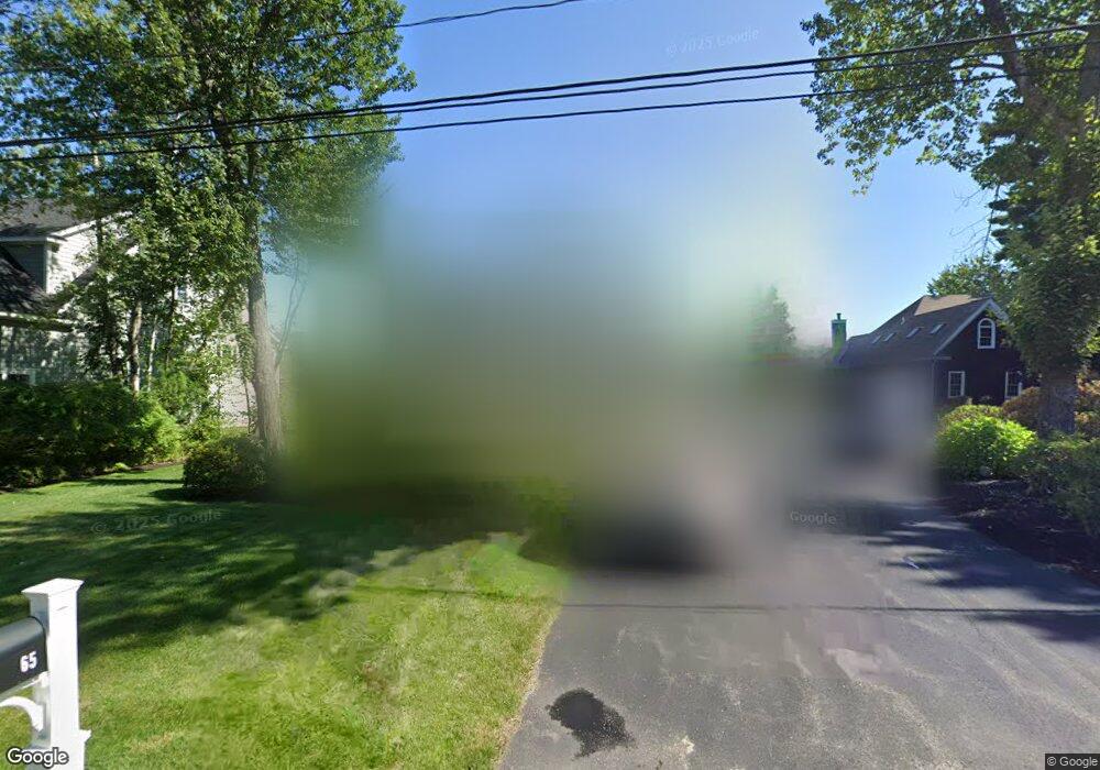
65 Wentworth Cove Rd Laconia, NH 03246
Estimated Value: $1,129,000 - $3,383,000
4
Beds
5
Baths
3,187
Sq Ft
$781/Sq Ft
Est. Value
About This Home
This home is located at 65 Wentworth Cove Rd, Laconia, NH 03246 and is currently estimated at $2,490,345, approximately $781 per square foot. 65 Wentworth Cove Rd is a home located in Belknap County with nearby schools including Laconia Middle School, Laconia High School, and Lakes Region Christian School.
Ownership History
Date
Name
Owned For
Owner Type
Purchase Details
Closed on
Oct 9, 2018
Sold by
Ciaraldi Peter M and Ciaraldi Julia
Bought by
Peter M Ciaraldi Lt
Current Estimated Value
Purchase Details
Closed on
Dec 7, 2017
Sold by
Qprt Robert L Wade
Bought by
Ciaraldi Peter M and Ciaraldi Julie
Home Financials for this Owner
Home Financials are based on the most recent Mortgage that was taken out on this home.
Original Mortgage
$825,000
Interest Rate
3.25%
Mortgage Type
Unknown
Purchase Details
Closed on
Oct 10, 2012
Sold by
Robert L Wade T
Bought by
Qprt Robert L Wade
Purchase Details
Closed on
Sep 20, 2002
Sold by
Cove Wentworth
Bought by
Robert L Wade T
Purchase Details
Closed on
Dec 4, 2000
Sold by
Schofield Qualified T
Bought by
Rl Wentworth Cove Rd I
Create a Home Valuation Report for This Property
The Home Valuation Report is an in-depth analysis detailing your home's value as well as a comparison with similar homes in the area
Home Values in the Area
Average Home Value in this Area
Purchase History
| Date | Buyer | Sale Price | Title Company |
|---|---|---|---|
| Peter M Ciaraldi Lt | -- | -- | |
| Ciaraldi Peter M | $1,550,000 | -- | |
| Qprt Robert L Wade | -- | -- | |
| Robert L Wade T | $1,370,000 | -- | |
| Rl Wentworth Cove Rd I | $330,500 | -- |
Source: Public Records
Mortgage History
| Date | Status | Borrower | Loan Amount |
|---|---|---|---|
| Previous Owner | Ciaraldi Peter M | $825,000 |
Source: Public Records
Tax History Compared to Growth
Tax History
| Year | Tax Paid | Tax Assessment Tax Assessment Total Assessment is a certain percentage of the fair market value that is determined by local assessors to be the total taxable value of land and additions on the property. | Land | Improvement |
|---|---|---|---|---|
| 2024 | $42,805 | $3,140,500 | $2,017,100 | $1,123,400 |
| 2023 | $40,009 | $2,876,300 | $1,831,500 | $1,044,800 |
| 2022 | $36,547 | $2,461,100 | $1,538,500 | $922,600 |
| 2021 | $34,619 | $1,835,600 | $1,047,300 | $788,300 |
| 2020 | $31,280 | $1,586,200 | $797,900 | $788,300 |
| 2019 | $30,607 | $1,486,500 | $698,200 | $788,300 |
| 2018 | $29,659 | $1,422,500 | $648,300 | $774,200 |
| 2017 | $23,749 | $1,129,300 | $598,500 | $530,800 |
| 2016 | $23,265 | $1,048,000 | $511,200 | $536,800 |
| 2015 | $22,193 | $999,700 | $537,400 | $462,300 |
| 2014 | $22,145 | $988,600 | $535,400 | $453,200 |
| 2013 | $21,316 | $965,400 | $507,200 | $458,200 |
Source: Public Records
Map
Nearby Homes
- 280 Sterling Dr
- 288 Sterling Dr
- 276 Sterling Dr
- 291 Sterling Dr
- 267 Sterling Dr
- 266 Sterling Dr
- 596 Endicott St E
- 111 Pendleton Rd
- 125 Sterling Dr
- 60 Colonial Rd
- 30 Melissa Way Unit B
- 252 Skyview Ln
- 38 Sparrow Ln
- 51 Skyview Ln
- 148 Lucerne Ave Unit 4
- 8 Leisure Time Ln
- 16 Leisure Time Ln
- 733 White Oaks Rd
- 1187 Weirs Blvd
- 1184 Weirs Blvd Unit 1
- 73 Wentworth Cove Rd
- 73 Wentworth Cove Rd
- 55 Wentworth Cove Rd
- 49 Wentworth Cove Rd
- 81 Wentworth Cove Rd
- 66 Wentworth Cove Rd
- 194 Wentworth Cove Rd
- 37 Wentworth Cove Rd
- 91 Wentworth Cove Rd
- 88 Wentworth Cove Rd
- 55 Rolling Ln
- 107 Wentworth Cove Rd
- 47 Rolling Ln
- 32 Wentworth Cove Rd
- 100 Wentworth Cove Rd
- 65 Rolling Ln
- 77 Rolling Ln
- 106 Wentworth Cove Rd
- 117 Wentworth Cove Rd
- 37 Rolling Ln