650 Brookside Dr Unit E Andover, MA 01810
Far West Andover NeighborhoodEstimated Value: $483,000 - $595,000
3
Beds
2
Baths
1,163
Sq Ft
$446/Sq Ft
Est. Value
About This Home
This home is located at 650 Brookside Dr Unit E, Andover, MA 01810 and is currently estimated at $518,207, approximately $445 per square foot. 650 Brookside Dr Unit E is a home located in Essex County with nearby schools including High Plain Elementary School, Wood Hill Middle School, and Andover High School.
Ownership History
Date
Name
Owned For
Owner Type
Purchase Details
Closed on
Sep 24, 2019
Sold by
Kota Venkatarama C and Kota Uma S
Bought by
Kota Chandra S and Kota Uma S
Current Estimated Value
Purchase Details
Closed on
Feb 26, 2010
Sold by
Sekhar-Kota Venkararama C
Bought by
Sekhar-Kota Venkararama C
Home Financials for this Owner
Home Financials are based on the most recent Mortgage that was taken out on this home.
Original Mortgage
$232,750
Interest Rate
5.11%
Mortgage Type
Purchase Money Mortgage
Purchase Details
Closed on
Jul 21, 2008
Sold by
Hayes D Kevin
Bought by
Kota Venkatarama Cha
Home Financials for this Owner
Home Financials are based on the most recent Mortgage that was taken out on this home.
Original Mortgage
$256,500
Interest Rate
6.17%
Mortgage Type
Purchase Money Mortgage
Create a Home Valuation Report for This Property
The Home Valuation Report is an in-depth analysis detailing your home's value as well as a comparison with similar homes in the area
Home Values in the Area
Average Home Value in this Area
Purchase History
| Date | Buyer | Sale Price | Title Company |
|---|---|---|---|
| Kota Chandra S | -- | -- | |
| Sekhar-Kota Venkararama C | -- | -- | |
| Kota Venkatarama Cha | $270,000 | -- |
Source: Public Records
Mortgage History
| Date | Status | Borrower | Loan Amount |
|---|---|---|---|
| Previous Owner | Sekhar-Kota Venkararama C | $232,750 | |
| Previous Owner | Kota Venkatarama Cha | $256,500 |
Source: Public Records
Tax History
| Year | Tax Paid | Tax Assessment Tax Assessment Total Assessment is a certain percentage of the fair market value that is determined by local assessors to be the total taxable value of land and additions on the property. | Land | Improvement |
|---|---|---|---|---|
| 2024 | $4,976 | $386,300 | $0 | $386,300 |
| 2023 | $4,601 | $336,800 | $0 | $336,800 |
| 2022 | $4,739 | $324,600 | $0 | $324,600 |
| 2021 | $4,696 | $307,100 | $0 | $307,100 |
| 2020 | $4,405 | $293,500 | $0 | $293,500 |
| 2019 | $4,147 | $271,600 | $0 | $271,600 |
| 2018 | $3,926 | $251,000 | $0 | $251,000 |
| 2017 | $3,671 | $241,800 | $0 | $241,800 |
| 2016 | $3,428 | $231,300 | $0 | $231,300 |
| 2015 | $3,295 | $220,100 | $0 | $220,100 |
Source: Public Records
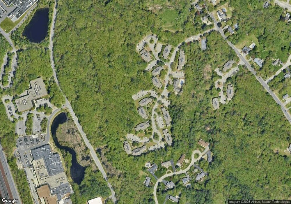
Map
Nearby Homes
- 750 Brookside Dr Unit G
- 2 Boardwalk Dr
- 9 Oakland Rd
- 2 Weeping Willow Dr
- 5 Crestwood Cir
- 4 Weeping Willow Dr
- 5 Weeping Willow Dr
- 1146 Essex St
- 0
- 1100 Essex St
- 35 Adams St
- 13 Caswell Ave
- 945 Riverside Dr Unit 3B
- 1082 Essex St
- 29 Westchester Dr
- 58 Chandler Rd
- 1 Perry Ave
- 42-44 Cypress Ave
- 18 Doyle St
- 19 Oregon Ave
- 650 Brookside Dr Unit H
- 650 Brookside Dr Unit F
- 650 Brookside Dr Unit D
- 650 Brookside Dr Unit C
- 650 Brookside Dr Unit B
- 650 Brookside Dr Unit A
- 651 Brookside Dr
- 651 Brookside Dr Unit 2
- 650 Brookside Dr Unit 650G
- 650 Brookside Dr Unit 650E
- 601 Brookside Dr
- 700E Brookside Dr Unit E
- 700A Brookside Dr Unit F
- 700F Brookside Dr Unit 700F,700
- 700F Brookside Dr Unit F
- 700M Brookside Dr Unit M
- 700E Brookside Dr
- 700A Brookside Dr
- 600M Brookside Dr Unit M
- 600M Brookside Dr Unit 600M
Your Personal Tour Guide
Ask me questions while you tour the home.