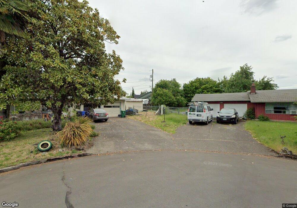
650 Bushnell Ln Eugene, OR 97404
River Road NeighborhoodEstimated Value: $506,000 - $574,907
4
Beds
2
Baths
2,074
Sq Ft
$267/Sq Ft
Est. Value
About This Home
This home is located at 650 Bushnell Ln, Eugene, OR 97404 and is currently estimated at $552,977, approximately $266 per square foot. 650 Bushnell Ln is a home located in Lane County with nearby schools including Irving Elementary School, Shasta Middle School, and Willamette High School.
Ownership History
Date
Name
Owned For
Owner Type
Purchase Details
Closed on
Sep 17, 2003
Sold by
Allen Tomme L
Bought by
Killen Farrell and Killen Nancy A
Current Estimated Value
Home Financials for this Owner
Home Financials are based on the most recent Mortgage that was taken out on this home.
Original Mortgage
$183,600
Outstanding Balance
$84,836
Interest Rate
6.3%
Mortgage Type
VA
Estimated Equity
$468,141
Create a Home Valuation Report for This Property
The Home Valuation Report is an in-depth analysis detailing your home's value as well as a comparison with similar homes in the area
Home Values in the Area
Average Home Value in this Area
Purchase History
| Date | Buyer | Sale Price | Title Company |
|---|---|---|---|
| Killen Farrell | $180,000 | Western Title & Escrow Co |
Source: Public Records
Mortgage History
| Date | Status | Borrower | Loan Amount |
|---|---|---|---|
| Open | Killen Farrell | $183,600 |
Source: Public Records
Tax History
| Year | Tax Paid | Tax Assessment Tax Assessment Total Assessment is a certain percentage of the fair market value that is determined by local assessors to be the total taxable value of land and additions on the property. | Land | Improvement |
|---|---|---|---|---|
| 2025 | $5,756 | $362,450 | -- | -- |
| 2024 | $5,610 | $351,894 | -- | -- |
| 2023 | $5,610 | $341,645 | $0 | $0 |
| 2022 | $5,223 | $331,695 | $0 | $0 |
| 2021 | $5,112 | $322,034 | $0 | $0 |
| 2020 | $4,963 | $312,655 | $0 | $0 |
| 2019 | $4,719 | $303,549 | $0 | $0 |
| 2018 | $4,587 | $286,124 | $0 | $0 |
| 2017 | $4,384 | $286,124 | $0 | $0 |
| 2016 | $4,272 | $277,790 | $0 | $0 |
| 2015 | $4,188 | $269,699 | $0 | $0 |
| 2014 | $4,124 | $261,844 | $0 | $0 |
Source: Public Records
Map
Nearby Homes
- 1307 Bramblewood Ln
- 2418 Kalmia St
- 2488 Northampton
- 1755 Brentwood Ave
- 805 Impala Ave
- 2580 Crowther Dr
- 541 Durham Ave
- 2610 Crowther Dr
- 2563 York St
- 1682 Hemlock St
- 3906 Century Dr
- 1566 Maywood Ave
- 3886 Aerial Way
- 3717 Riviera
- 2931 Shelby Way
- 2721 La Darrah St
- 2965 Teal Place
- 4114 Jessen Dr
- 2987 Dry Creek Rd
- 303 Lenore Loop
- 2026 Anthony Way
- 1995 Smithoak St
- 640 Bushnell Ln
- 2048 Anthony Way
- 1975 Smithoak St
- 1365 David Ave
- 1970 Anthony Way
- 2010 Anthony Way
- 2062 Anthony Way
- 630 Bushnell Ln
- 620 Bushnell Ln
- 1944 Anthony Way
- 1367 David Ave
- 1385 David Ave
- 660 Bushnell Ln
- 2013 Smithoak St
- 1363 David Ave
- 610 Bushnell Ln
- 1361 David Ave
- 1943 Smithoak St
Your Personal Tour Guide
Ask me questions while you tour the home.