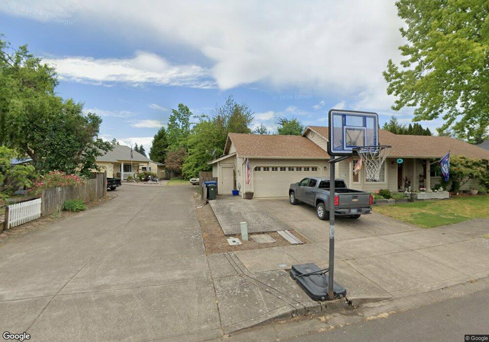
2048 Anthony Way Eugene, OR 97404
River Road NeighborhoodEstimated Value: $393,000 - $428,000
3
Beds
2
Baths
1,293
Sq Ft
$314/Sq Ft
Est. Value
About This Home
This home is located at 2048 Anthony Way, Eugene, OR 97404 and is currently estimated at $406,398, approximately $314 per square foot. 2048 Anthony Way is a home located in Lane County with nearby schools including Irving Elementary School, Shasta Middle School, and Willamette High School.
Ownership History
Date
Name
Owned For
Owner Type
Purchase Details
Closed on
Feb 19, 2002
Sold by
Burden Keith R and Burden Sharon E
Bought by
Leroux Joseph
Current Estimated Value
Home Financials for this Owner
Home Financials are based on the most recent Mortgage that was taken out on this home.
Original Mortgage
$107,200
Outstanding Balance
$43,807
Interest Rate
7.04%
Estimated Equity
$362,591
Purchase Details
Closed on
May 28, 1998
Sold by
Marvin Investments Inc
Bought by
Burden Keith R and Burden Sharon E
Home Financials for this Owner
Home Financials are based on the most recent Mortgage that was taken out on this home.
Original Mortgage
$119,890
Interest Rate
6.92%
Create a Home Valuation Report for This Property
The Home Valuation Report is an in-depth analysis detailing your home's value as well as a comparison with similar homes in the area
Home Values in the Area
Average Home Value in this Area
Purchase History
We collect this data history from publicly available records. To have your information removed, we recommend requesting removal directly through your county’s website.
| Date | Buyer | Sale Price | Title Company |
|---|---|---|---|
| Leroux Joseph | $134,000 | Western Title & Escrow Compa | |
| Burden Keith R | $126,200 | Western Pioneer Title Co |
Source: Public Records
Mortgage History
We collect this data history from publicly available records. To have your information removed, we recommend requesting removal directly through your county’s website.
| Date | Status | Borrower | Loan Amount |
|---|---|---|---|
| Open | Leroux Joseph | $107,200 | |
| Previous Owner | Burden Keith R | $119,890 |
Source: Public Records
Tax History
| Year | Tax Paid | Tax Assessment Tax Assessment Total Assessment is a certain percentage of the fair market value that is determined by local assessors to be the total taxable value of land and additions on the property. | Land | Improvement |
|---|---|---|---|---|
| 2025 | $3,870 | $222,468 | -- | -- |
| 2024 | $3,772 | $215,989 | -- | -- |
| 2023 | $3,772 | $209,699 | $0 | $0 |
| 2022 | $3,511 | $203,592 | $0 | $0 |
| 2021 | $3,437 | $197,663 | $0 | $0 |
| 2020 | $3,337 | $191,906 | $0 | $0 |
| 2019 | $3,173 | $186,317 | $0 | $0 |
| 2018 | $3,084 | $175,622 | $0 | $0 |
| 2017 | $2,948 | $175,622 | $0 | $0 |
| 2016 | $2,873 | $170,507 | $0 | $0 |
| 2015 | $2,816 | $165,541 | $0 | $0 |
| 2014 | $2,773 | $160,719 | $0 | $0 |
Source: Public Records
Map
Nearby Homes
- 2029 Plentywood Ln
- 1307 Bramblewood Ln
- 1764 Allea Dr
- 1161 Molly Ln
- 325 Bushnell Ln
- 1763 Labona Dr
- 2488 Northampton
- 831 Greenwich Ave
- 0 Pacific Hwy W
- 1755 Brentwood Ave
- 2610 Crowther Dr
- 1215 Irving Rd
- 1682 Hemlock St
- 2690 Carbona St
- 3886 Aerial Way
- 3717 Riviera
- 2721 La Darrah St
- 1565 Linwood St
- 4132 N Clarey St
- 445 Sterling Dr
- 1995 Smithoak St
- 2013 Smithoak St
- 650 Bushnell Ln
- 640 Bushnell Ln
- 1975 Smithoak St
- 660 Bushnell Ln
- 674 Bushnell Ln
- 2043 Smithoak St
- 630 Bushnell Ln
- 1943 Smithoak St
- 682 Bushnell Ln
- 620 Bushnell Ln
- 2026 Anthony Way
- 1365 David Ave
- 1385 David Ave
- 2083 Smithoak St
- 610 Bushnell Ln
- 1919 Smithoak St
- 2062 Anthony Way
- 1367 David Ave
Your Personal Tour Guide
Ask me questions while you tour the home.