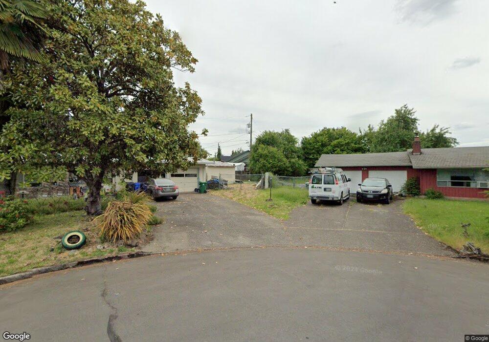
650 Bushnell Ln Eugene, OR 97404
River Road NeighborhoodEstimated Value: $557,000 - $570,406
4
Beds
2
Baths
2,074
Sq Ft
$272/Sq Ft
Est. Value
About This Home
This home is located at 650 Bushnell Ln, Eugene, OR 97404 and is currently estimated at $563,352, approximately $271 per square foot. 650 Bushnell Ln is a home located in Lane County with nearby schools including Irving Elementary School, Shasta Middle School, and Willamette High School.
Ownership History
Date
Name
Owned For
Owner Type
Purchase Details
Closed on
Sep 17, 2003
Sold by
Allen Tomme L
Bought by
Killen Farrell and Killen Nancy A
Current Estimated Value
Home Financials for this Owner
Home Financials are based on the most recent Mortgage that was taken out on this home.
Original Mortgage
$183,600
Outstanding Balance
$84,836
Interest Rate
6.3%
Mortgage Type
VA
Estimated Equity
$478,516
Create a Home Valuation Report for This Property
The Home Valuation Report is an in-depth analysis detailing your home's value as well as a comparison with similar homes in the area
Home Values in the Area
Average Home Value in this Area
Purchase History
We collect this data history from publicly available records. To have your information removed, we recommend requesting removal directly through your county’s website.
| Date | Buyer | Sale Price | Title Company |
|---|---|---|---|
| Killen Farrell | $180,000 | Western Title & Escrow Co |
Source: Public Records
Mortgage History
We collect this data history from publicly available records. To have your information removed, we recommend requesting removal directly through your county’s website.
| Date | Status | Borrower | Loan Amount |
|---|---|---|---|
| Open | Killen Farrell | $183,600 |
Source: Public Records
Tax History
| Year | Tax Paid | Tax Assessment Tax Assessment Total Assessment is a certain percentage of the fair market value that is determined by local assessors to be the total taxable value of land and additions on the property. | Land | Improvement |
|---|---|---|---|---|
| 2025 | $5,756 | $362,450 | -- | -- |
| 2024 | $5,610 | $351,894 | -- | -- |
| 2023 | $5,610 | $341,645 | $0 | $0 |
| 2022 | $5,223 | $331,695 | $0 | $0 |
| 2021 | $5,112 | $322,034 | $0 | $0 |
| 2020 | $4,963 | $312,655 | $0 | $0 |
| 2019 | $4,719 | $303,549 | $0 | $0 |
| 2018 | $4,587 | $286,124 | $0 | $0 |
| 2017 | $4,384 | $286,124 | $0 | $0 |
| 2016 | $4,272 | $277,790 | $0 | $0 |
| 2015 | $4,188 | $269,699 | $0 | $0 |
| 2014 | $4,124 | $261,844 | $0 | $0 |
Source: Public Records
Map
Nearby Homes
- 1307 Bramblewood Ln
- 2029 Plentywood Ln
- 1764 Allea Dr
- 1763 Labona Dr
- 1161 Molly Ln
- 325 Bushnell Ln
- 2488 Northampton
- 0 Pacific Hwy W
- 1755 Brentwood Ave
- 831 Greenwich Ave
- 1682 Hemlock St
- 3717 Riviera
- 3886 Aerial Way
- 2610 Crowther Dr
- 1215 Irving Rd
- 2690 Carbona St
- 1565 Linwood St
- 2721 La Darrah St
- 2002 Kintyre St
- 445 Sterling Dr
- 1361 David Ave
- 1930 Anthony Way
- 1363 David Ave
- 1944 Anthony Way
- 1365 David Ave
- 1970 Anthony Way
- 1367 David Ave
- 1370 David Ave
- 1362 David Ave
- 1376 David Ave
- 1380 David Ave
- 1350 David Ave
- 1347 David Ave
- 1937 Anthony Way
- 1385 David Ave
- 2010 Anthony Way
- 1350 David St
- 1959 Anthony Way
- 2026 Anthony Way
- 1317 Bramblewood Ln
Your Personal Tour Guide
Ask me questions while you tour the home.