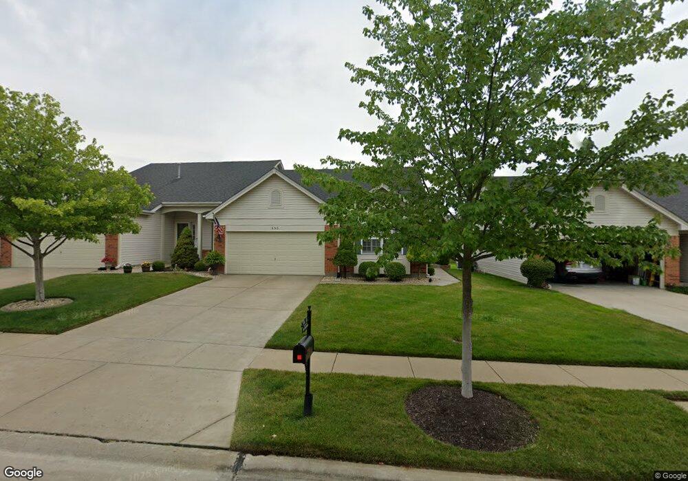
650 Hawk Run Dr O Fallon, MO 63368
Estimated Value: $299,828 - $346,000
2
Beds
3
Baths
1,327
Sq Ft
$244/Sq Ft
Est. Value
About This Home
This home is located at 650 Hawk Run Dr, O Fallon, MO 63368 and is currently estimated at $323,457, approximately $243 per square foot. 650 Hawk Run Dr is a home located in St. Charles County with nearby schools including Crossroads Elementary School, Frontier Middle School, and Liberty High School.
Ownership History
Date
Name
Owned For
Owner Type
Purchase Details
Closed on
May 8, 2008
Sold by
Reichert Daniel and Reichert Mary L
Bought by
Reichert Daniel and Reichert Mary L
Current Estimated Value
Purchase Details
Closed on
May 2, 2003
Sold by
Mayer Custom Homes Inc
Bought by
Reichert Daniel and Reichert Mary L
Home Financials for this Owner
Home Financials are based on the most recent Mortgage that was taken out on this home.
Original Mortgage
$75,000
Outstanding Balance
$32,549
Interest Rate
5.77%
Mortgage Type
Purchase Money Mortgage
Estimated Equity
$290,908
Create a Home Valuation Report for This Property
The Home Valuation Report is an in-depth analysis detailing your home's value as well as a comparison with similar homes in the area
Home Values in the Area
Average Home Value in this Area
Purchase History
| Date | Buyer | Sale Price | Title Company |
|---|---|---|---|
| Reichert Daniel | -- | None Available | |
| Reichert Daniel | -- | -- |
Source: Public Records
Mortgage History
| Date | Status | Borrower | Loan Amount |
|---|---|---|---|
| Open | Reichert Daniel | $75,000 |
Source: Public Records
Tax History
| Year | Tax Paid | Tax Assessment Tax Assessment Total Assessment is a certain percentage of the fair market value that is determined by local assessors to be the total taxable value of land and additions on the property. | Land | Improvement |
|---|---|---|---|---|
| 2025 | $3,237 | $48,348 | -- | -- |
| 2023 | $3,240 | $47,130 | $0 | $0 |
| 2022 | $2,795 | $37,850 | $0 | $0 |
| 2021 | $2,801 | $37,850 | $0 | $0 |
| 2020 | $2,856 | $37,153 | $0 | $0 |
| 2019 | $2,681 | $37,153 | $0 | $0 |
| 2018 | $2,341 | $30,820 | $0 | $0 |
| 2017 | $2,316 | $30,820 | $0 | $0 |
| 2016 | $2,344 | $29,914 | $0 | $0 |
| 2015 | $2,309 | $29,914 | $0 | $0 |
| 2014 | $2,056 | $28,577 | $0 | $0 |
Source: Public Records
Map
Nearby Homes
- 112 Wake Forest Place
- 120 Wake Forest Place
- 2058 Avalon Mist Cir
- 2132 Bates Rd
- 149 Bayhill Village Dr
- 161 Bayhill Village Dr
- 158 Bayhill Village Dr
- 2026 Avalon Mist Cir
- 164 Bayhill Village Dr
- 702 Balcarra Dr
- 344 Royal Dornoch Ct
- 318 Copper Tree Ct
- 615 Thornridge Dr
- 3605 Post Valley Ct
- 0 Unknown Unit MIS22064590
- 0 Unknown Unit MIS25074879
- 0 Unknown Unit MIS22064605
- 0 Unknown Unit MIS22064597
- 798 Wilbie Ct
- 7839 Town Square Ave
- 652 Hawk Run Dr
- 648 Hawk Run Dr
- 648 Hawk Run Dr Unit 43A
- 654 Hawk Run Dr
- 646 Hawk Run Dr
- 644 Hawk Run Dr
- 644 Hawk Run Dr Unit 45A
- 818 Hawk Run Trail
- 820 Hawk Run Trail
- 656 Hawk Run Dr
- 651 Hawk Run Dr
- 653 Hawk Run Dr
- 649 Hawk Run Dr
- 649 Hawk Run Dr Unit 25A
- 655 Hawk Run Dr
- 816 Hawk Run Trail
- 647 Hawk Run Dr
- 657 Hawk Run Dr
- 642 Hawk Run Dr
- 680 Hawk Run Dr
Your Personal Tour Guide
Ask me questions while you tour the home.