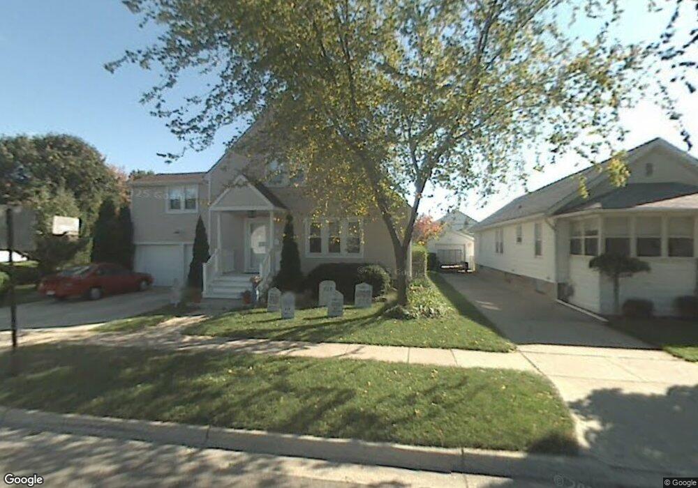
650 Maple Blvd Monroe, MI 48162
Northeast Monroe NeighborhoodEstimated Value: $161,798 - $183,000
3
Beds
1
Bath
1,169
Sq Ft
$147/Sq Ft
Est. Value
About This Home
This home is located at 650 Maple Blvd, Monroe, MI 48162 and is currently estimated at $171,700, approximately $146 per square foot. 650 Maple Blvd is a home located in Monroe County with nearby schools including Monroe High School, St Mary's Catholic Elementary School, and Zion Lutheran School.
Ownership History
Date
Name
Owned For
Owner Type
Purchase Details
Closed on
Sep 25, 2002
Sold by
Lawson John
Bought by
Liedel Gregory and Liedel Amy
Current Estimated Value
Home Financials for this Owner
Home Financials are based on the most recent Mortgage that was taken out on this home.
Original Mortgage
$88,200
Outstanding Balance
$37,598
Interest Rate
6.39%
Mortgage Type
New Conventional
Estimated Equity
$134,102
Purchase Details
Closed on
Oct 16, 1996
Sold by
Frank Mary
Bought by
Lawson John L and Lawson Stacey
Create a Home Valuation Report for This Property
The Home Valuation Report is an in-depth analysis detailing your home's value as well as a comparison with similar homes in the area
Home Values in the Area
Average Home Value in this Area
Purchase History
| Date | Buyer | Sale Price | Title Company |
|---|---|---|---|
| Liedel Gregory | $110,300 | -- | |
| Lawson John L | $87,000 | -- |
Source: Public Records
Mortgage History
| Date | Status | Borrower | Loan Amount |
|---|---|---|---|
| Open | Liedel Gregory | $88,200 |
Source: Public Records
Tax History
| Year | Tax Paid | Tax Assessment Tax Assessment Total Assessment is a certain percentage of the fair market value that is determined by local assessors to be the total taxable value of land and additions on the property. | Land | Improvement |
|---|---|---|---|---|
| 2025 | $1,234 | $73,300 | $73,300 | $0 |
| 2024 | $1,178 | $72,330 | $0 | $0 |
| 2023 | $1,126 | $61,280 | $0 | $0 |
| 2022 | $1,552 | $61,280 | $0 | $0 |
| 2021 | $1,502 | $59,890 | $0 | $0 |
| 2020 | $1,404 | $50,770 | $0 | $0 |
| 2019 | $1,335 | $50,770 | $0 | $0 |
| 2018 | $1,300 | $41,280 | $0 | $0 |
| 2017 | $1,276 | $41,280 | $0 | $0 |
| 2016 | $1,248 | $38,450 | $0 | $0 |
| 2015 | $1,197 | $29,810 | $0 | $0 |
| 2014 | $1,197 | $29,810 | $0 | $0 |
| 2013 | -- | $30,750 | $0 | $0 |
Source: Public Records
Map
Nearby Homes
- 603 Scottwood Ave
- 1008 Maple Ave
- 623 Maywood Ave
- 434 Arbor Ave
- 465 Riverview Ave
- 942 Elliot St
- 230 E Grove St
- E E Lorain St
- 422 Lapoint Ave
- 425 Fern Ct
- 525 N Macomb St
- 229 Michigan Ave
- 310 E Noble Ave
- 23 Linswood Dr
- 74 Linswood Dr
- 702 N Monroe St
- 734 N Monroe St
- 116 Maple Blvd
- 118 Michigan Ave
- 20 W Grove St
- 646 Maple Blvd
- 642 Maple Blvd
- 651 Michigan Ave
- 649 Michigan Ave
- 662 Maple Blvd
- 645 Michigan Ave
- 657 Michigan Ave
- 638 Maple Blvd
- 635 Michigan Ave
- 630 Maple Blvd
- 624 Scottwood Ave
- 705 Michigan Ave
- 710 Maple Ave
- 631 Michigan Ave
- 645 Maple Blvd
- 626 Maple Blvd
- 650 Michigan Ave
- 0 Michigan Ave
- 646 Michigan Ave
- 658 Michigan Ave
Your Personal Tour Guide
Ask me questions while you tour the home.