Estimated Value: $546,000 - $574,000
3
Beds
2
Baths
1,509
Sq Ft
$371/Sq Ft
Est. Value
About This Home
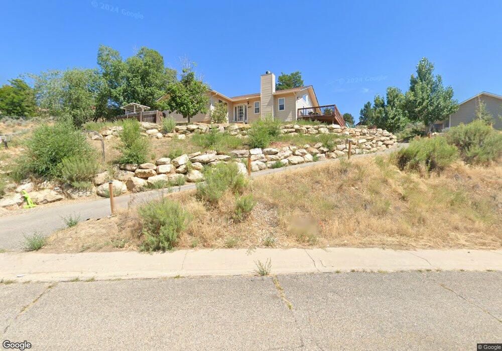
This home is located at 650 Moki Ave, Rifle, CO 81650 and is currently estimated at $559,493, approximately $370 per square foot. 650 Moki Ave is a home located in Garfield County with nearby schools including Graham Mesa Elementary School, Rifle Middle School, and Rifle High School.
Ownership History
Date
Name
Owned For
Owner Type
Purchase Details
Closed on
Jun 3, 2009
Sold by
Wineka William Kent and Wineka Barbara Jean
Bought by
Jenness Matthew D and Jenness Cynthia L
Current Estimated Value
Home Financials for this Owner
Home Financials are based on the most recent Mortgage that was taken out on this home.
Original Mortgage
$267,564
Outstanding Balance
$168,594
Interest Rate
4.72%
Mortgage Type
FHA
Estimated Equity
$390,899
Purchase Details
Closed on
Sep 2, 2005
Sold by
Byrd Ronald L and Byrd Shirley
Bought by
Wineka William Kent and Wineka Barbara Jean
Home Financials for this Owner
Home Financials are based on the most recent Mortgage that was taken out on this home.
Original Mortgage
$58,000
Interest Rate
5.81%
Mortgage Type
Fannie Mae Freddie Mac
Purchase Details
Closed on
Aug 16, 2000
Sold by
Byrd Ronald L
Bought by
Byrd Ronald L
Purchase Details
Closed on
Mar 6, 2000
Sold by
Myers Dwight O and Myers Maureen W
Bought by
Byrd Ronald L
Purchase Details
Closed on
Oct 30, 1990
Create a Home Valuation Report for This Property
The Home Valuation Report is an in-depth analysis detailing your home's value as well as a comparison with similar homes in the area
Home Values in the Area
Average Home Value in this Area
Purchase History
| Date | Buyer | Sale Price | Title Company |
|---|---|---|---|
| Jenness Matthew D | $272,500 | Stewart Title | |
| Wineka William Kent | $246,500 | -- | |
| Byrd Ronald L | $31,000 | -- | |
| Byrd Ronald L | $33,000 | -- | |
| -- | $8,000 | -- |
Source: Public Records
Mortgage History
| Date | Status | Borrower | Loan Amount |
|---|---|---|---|
| Open | Jenness Matthew D | $267,564 | |
| Previous Owner | Wineka William Kent | $58,000 |
Source: Public Records
Tax History Compared to Growth
Tax History
| Year | Tax Paid | Tax Assessment Tax Assessment Total Assessment is a certain percentage of the fair market value that is determined by local assessors to be the total taxable value of land and additions on the property. | Land | Improvement |
|---|---|---|---|---|
| 2024 | $2,457 | $32,230 | $6,310 | $25,920 |
| 2023 | $2,457 | $32,230 | $6,310 | $25,920 |
| 2022 | $1,829 | $25,540 | $5,210 | $20,330 |
| 2021 | $2,100 | $26,270 | $5,360 | $20,910 |
| 2020 | $1,724 | $23,570 | $3,790 | $19,780 |
| 2019 | $1,631 | $23,570 | $3,790 | $19,780 |
| 2018 | $1,561 | $22,050 | $3,530 | $18,520 |
| 2017 | $1,411 | $22,050 | $3,530 | $18,520 |
| 2016 | $1,104 | $19,530 | $3,340 | $16,190 |
| 2015 | $1,019 | $19,530 | $3,340 | $16,190 |
| 2014 | $615 | $11,710 | $2,390 | $9,320 |
Source: Public Records
Map
Nearby Homes
- 1617 W 7th St
- 336 Will Ave
- 580 Will Ave
- 1110 Arnold Ct
- 1008 Wamsley Way
- 990 Wamsley Way
- 342 Elm Ave
- 500 Fairway Ave
- 335 Hutton Ave
- 108 Ray Ave
- TBD Stillwell Ave
- 663 Park Ave
- 531 Park Ave
- 381 W 5th St Unit 2
- 751 Park Ave
- 1016 Stillwell Ave
- 2432 Pioneer Way
- 426 Crockett Cir
- 758 Railroad Ave
- 629 Whiteriver Ave