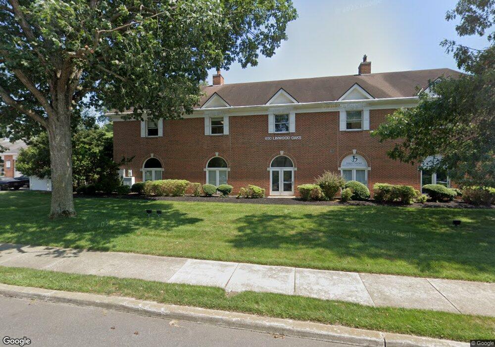
650 New Rd Linwood, NJ 08221
--
Bed
--
Bath
10,600
Sq Ft
0.96
Acres
About This Home
This home is located at 650 New Rd, Linwood, NJ 08221. 650 New Rd is a home located in Atlantic County with nearby schools including Seaview Elementary School, Belhaven Middle School, and Mainland Regional High School.
Ownership History
Date
Name
Owned For
Owner Type
Purchase Details
Closed on
Sep 5, 2007
Sold by
Vanepps John and Mirenda John
Bought by
650 New Road Associates Llc
Home Financials for this Owner
Home Financials are based on the most recent Mortgage that was taken out on this home.
Original Mortgage
$1,612,500
Outstanding Balance
$1,027,707
Interest Rate
6.7%
Mortgage Type
Commercial
Purchase Details
Closed on
Dec 21, 2006
Sold by
Terra Development Group
Bought by
Vanepps John and Mirenda John
Purchase Details
Closed on
Dec 9, 1988
Sold by
Venters William B and Venters Wilma J
Bought by
Terra Development Group
Create a Home Valuation Report for This Property
The Home Valuation Report is an in-depth analysis detailing your home's value as well as a comparison with similar homes in the area
Home Values in the Area
Average Home Value in this Area
Purchase History
| Date | Buyer | Sale Price | Title Company |
|---|---|---|---|
| 650 New Road Associates Llc | $2,150,000 | Commonwealth Land Title Insu | |
| Vanepps John | -- | -- | |
| Terra Development Group | $200,000 | -- |
Source: Public Records
Mortgage History
| Date | Status | Borrower | Loan Amount |
|---|---|---|---|
| Open | 650 New Road Associates Llc | $1,612,500 |
Source: Public Records
Tax History Compared to Growth
Tax History
| Year | Tax Paid | Tax Assessment Tax Assessment Total Assessment is a certain percentage of the fair market value that is determined by local assessors to be the total taxable value of land and additions on the property. | Land | Improvement |
|---|---|---|---|---|
| 2025 | $60,998 | $1,598,900 | $353,900 | $1,245,000 |
| 2024 | $60,998 | $1,598,900 | $353,900 | $1,245,000 |
| 2023 | $57,513 | $1,580,900 | $353,900 | $1,227,000 |
| 2022 | $57,513 | $1,580,900 | $353,900 | $1,227,000 |
| 2021 | $57,007 | $1,580,900 | $353,900 | $1,227,000 |
| 2020 | $56,217 | $1,580,900 | $353,900 | $1,227,000 |
| 2019 | $55,015 | $1,580,900 | $353,900 | $1,227,000 |
| 2018 | $53,782 | $1,580,900 | $353,900 | $1,227,000 |
| 2017 | $52,707 | $1,580,900 | $353,900 | $1,227,000 |
| 2016 | $50,937 | $1,580,900 | $353,900 | $1,227,000 |
| 2015 | $50,984 | $1,580,900 | $353,900 | $1,227,000 |
| 2014 | $49,008 | $1,580,900 | $353,900 | $1,227,000 |
Source: Public Records
Map
Nearby Homes
- 500 Davis Ave
- 309 Haines Ave
- 2 Sandy Ct
- 901 Oak Ave
- 550 G-16 Central Ave
- 550 Central Ave Unit B1
- 550 Central Ave Unit G-16 Constitution Ct
- 550 Central Ave Unit E-14
- 550 Central Ave Unit I-7
- 622 Central Ave
- 911 Bartlett Ave
- 110 W Poplar Ave
- 301 Wabash Ave
- 104 W Poplar Ave
- 1005 Bartlett Ave
- 22 Wexford Ln
- 1026 Bartlett Dr
- 1026 Bartlett Ave
- 1011 New Rd
- 605 Shore Rd