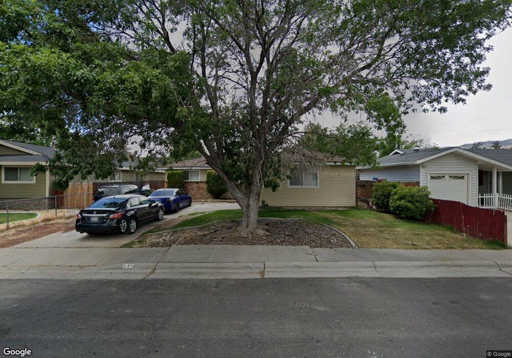
651 Beldon Way Reno, NV 89503
Kings Row NeighborhoodEstimated Value: $441,367 - $495,000
3
Beds
2
Baths
1,344
Sq Ft
$349/Sq Ft
Est. Value
About This Home
This home is located at 651 Beldon Way, Reno, NV 89503 and is currently estimated at $469,342, approximately $349 per square foot. 651 Beldon Way is a home located in Washoe County with nearby schools including Grace Warner Elementary School, Archie Clayton Pre-AP Academy, and Robert McQueen High School.
Ownership History
Date
Name
Owned For
Owner Type
Purchase Details
Closed on
Sep 11, 2003
Sold by
Stewart Phillip R and Stewart Victoria J
Bought by
Stewart Phillip R and Stewart Victoria J
Current Estimated Value
Purchase Details
Closed on
Nov 12, 1996
Sold by
Bell Sheila M and Bell Betty J
Bought by
Stewart Philip R and Stewart Vicki
Home Financials for this Owner
Home Financials are based on the most recent Mortgage that was taken out on this home.
Original Mortgage
$70,000
Outstanding Balance
$5,936
Interest Rate
8.06%
Mortgage Type
Seller Take Back
Estimated Equity
$463,406
Create a Home Valuation Report for This Property
The Home Valuation Report is an in-depth analysis detailing your home's value as well as a comparison with similar homes in the area
Home Values in the Area
Average Home Value in this Area
Purchase History
| Date | Buyer | Sale Price | Title Company |
|---|---|---|---|
| Stewart Phillip R | -- | -- | |
| Stewart Philip R | $85,000 | First American Title Co |
Source: Public Records
Mortgage History
| Date | Status | Borrower | Loan Amount |
|---|---|---|---|
| Open | Stewart Philip R | $70,000 |
Source: Public Records
Tax History
| Year | Tax Paid | Tax Assessment Tax Assessment Total Assessment is a certain percentage of the fair market value that is determined by local assessors to be the total taxable value of land and additions on the property. | Land | Improvement |
|---|---|---|---|---|
| 2026 | $744 | $58,958 | $40,285 | $18,673 |
| 2024 | $924 | $55,731 | $37,485 | $18,246 |
| 2023 | $898 | $56,078 | $39,200 | $16,878 |
| 2022 | $832 | $45,287 | $31,500 | $13,787 |
| 2021 | $771 | $34,667 | $21,245 | $13,422 |
| 2020 | $746 | $33,154 | $19,985 | $13,169 |
| 2019 | $718 | $32,579 | $20,300 | $12,279 |
| 2018 | $698 | $26,227 | $14,455 | $11,772 |
| 2017 | $669 | $24,471 | $12,915 | $11,556 |
| 2016 | $653 | $22,927 | $11,340 | $11,587 |
| 2015 | $654 | $21,110 | $9,625 | $11,485 |
| 2014 | $633 | $19,381 | $8,575 | $10,806 |
| 2013 | -- | $16,632 | $6,125 | $10,507 |
Source: Public Records
Map
Nearby Homes
- 3035 Everett Dr
- 4233 Fawnridge Place
- 3540 W 7th St
- 4490 Reddawn Dr
- 4232 Fawnridge Place
- 3060 Slater Ave
- 2060 Carlin St
- 1169 Wagon Wheel Cir
- 1181 Wagon Wheel Cir
- 3286 Heights Dr
- 3271 Heights Dr
- 1195 Wagon Wheel Cir
- 1206 Freddie Ct
- 1801 Carlin St
- 1215 Conway Ln
- 3085 Kings Row
- 2071 W 4th St Unit 42
- 4761 Scenic Hill Cir
- 2091 W 4th St
- 1470 Marne Dr
Your Personal Tour Guide
Ask me questions while you tour the home.