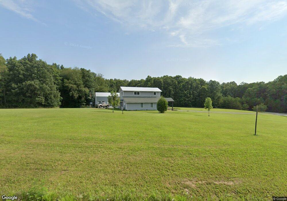
651 Rolling Meadows Rd Grimsley, TN 38565
Estimated Value: $175,168 - $238,000
Studio
--
Bath
1,685
Sq Ft
$123/Sq Ft
Est. Value
About This Home
This home is located at 651 Rolling Meadows Rd, Grimsley, TN 38565 and is currently estimated at $206,542, approximately $122 per square foot. 651 Rolling Meadows Rd is a home.
Ownership History
Date
Name
Owned For
Owner Type
Purchase Details
Closed on
Sep 18, 2016
Sold by
Brantley William D
Bought by
Wingard Adam and Wingard Debra
Current Estimated Value
Home Financials for this Owner
Home Financials are based on the most recent Mortgage that was taken out on this home.
Original Mortgage
$46,750
Outstanding Balance
$4,983
Interest Rate
3.43%
Mortgage Type
New Conventional
Estimated Equity
$201,560
Purchase Details
Closed on
Nov 17, 2006
Bought by
Brantley William D
Home Financials for this Owner
Home Financials are based on the most recent Mortgage that was taken out on this home.
Original Mortgage
$59,394
Interest Rate
6.25%
Mortgage Type
Cash
Create a Home Valuation Report for This Property
The Home Valuation Report is an in-depth analysis detailing your home's value as well as a comparison with similar homes in the area
Purchase History
| Date | Buyer | Sale Price | Title Company |
|---|---|---|---|
| Wingard Adam | $93,500 | -- | |
| Brantley William D | $72,600 | -- |
Source: Public Records
Mortgage History
| Date | Status | Borrower | Loan Amount |
|---|---|---|---|
| Open | Wingard Adam | $46,750 | |
| Previous Owner | Brantley William D | $59,394 |
Source: Public Records
Tax History
| Year | Tax Paid | Tax Assessment Tax Assessment Total Assessment is a certain percentage of the fair market value that is determined by local assessors to be the total taxable value of land and additions on the property. | Land | Improvement |
|---|---|---|---|---|
| 2025 | $892 | $66,075 | $14,075 | $52,000 |
| 2024 | $418 | $30,975 | $14,075 | $16,900 |
| 2023 | $418 | $30,975 | $14,075 | $16,900 |
| 2022 | $397 | $20,800 | $12,125 | $8,675 |
| 2021 | $397 | $20,800 | $12,125 | $8,675 |
| 2020 | $397 | $20,800 | $12,125 | $8,675 |
| 2019 | $397 | $20,800 | $12,125 | $8,675 |
| 2018 | $397 | $20,800 | $12,125 | $8,675 |
| 2017 | $362 | $18,250 | $12,125 | $6,125 |
| 2016 | $362 | $18,250 | $12,125 | $6,125 |
| 2015 | $362 | $18,234 | $0 | $0 |
| 2014 | -- | $12,120 | $0 | $0 |
Source: Public Records
Map
Nearby Homes
- 5715 S York Highway 127 Hwy
- 5651 S York Hwy
- 5550 S York Hwy
- 5521 S York Hwy
- 5521 S York Highway 5521 Hwy
- 5534 S York Hwy
- 5740 S York Hwy
- 6105 S South York Hwy
- 238 Thacker Rd
- 238 Thacker Rd Unit 30
- 6006 S York Hwy
- 1068 Hargis Rd
- 6105 S York Hwy
- 1011 Fox Ridge Dr
- 1070 N Shady Lane Loop
- 145 Rhum Rd
- 164 Green Acres
- 817 Hack Beaty Rd
- 1079 South Ln
- 1089 Bicknell Rd
- 651 Rolling Meadows Rd
- 674 Shelby Way
- Lot 20 Shelby Way
- 639 Shelby Way
- 652 Shelby Way
- 613 Shelby Way
- 0 Shelby Way 5 19 Acres Unit 1164214
- 0 Shelby Way 5 19 Acres Unit 1178915
- 622 Shelby Way
- 593 Shelby Way
- 0 Sonja Way Unit 669618
- 0 Sonja Way Unit 669615
- 0 Sonja Way Unit 695429
- 0 Sonja Way Unit 695424
- 0 Sonja Way Unit 739450
- 0 Sonja Way Unit 739446
- 0 Sonja Way Unit 739432
- 0 Sonja Way Unit 739424
- 0 Sonja Way Unit 909636
- 0 Sonja Way Unit 1049725
Your Personal Tour Guide
Ask me questions while you tour the home.