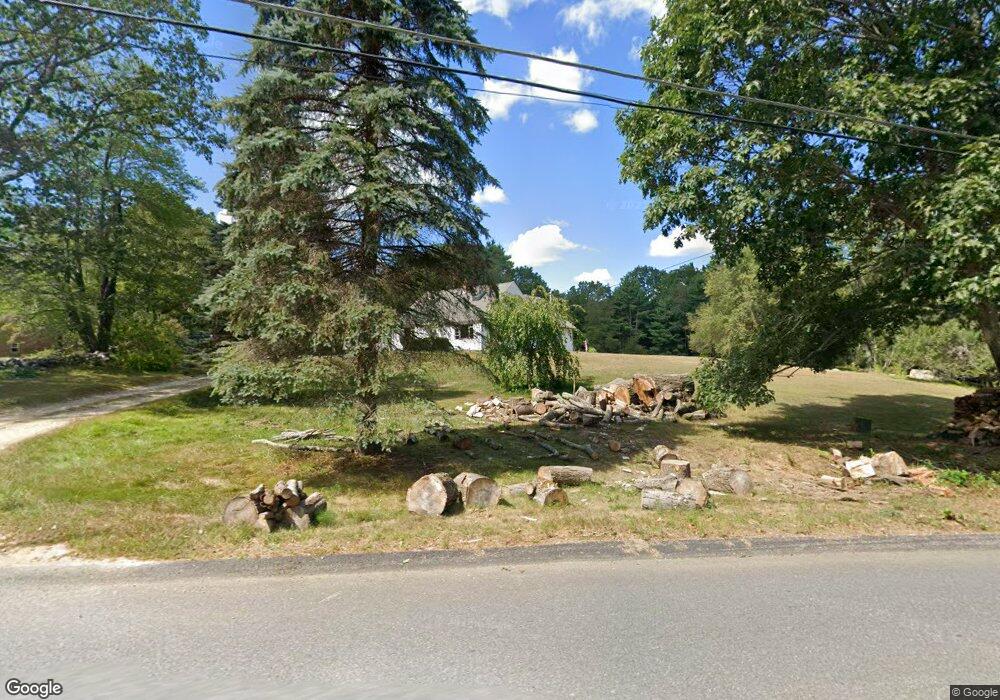
651 South Rd Templeton, MA 01468
Estimated Value: $431,000 - $490,000
4
Beds
2
Baths
2,197
Sq Ft
$211/Sq Ft
Est. Value
About This Home
This home is located at 651 South Rd, Templeton, MA 01468 and is currently estimated at $463,140, approximately $210 per square foot. 651 South Rd is a home located in Worcester County with nearby schools including Narragansett Regional High School.
Ownership History
Date
Name
Owned For
Owner Type
Purchase Details
Closed on
Jul 29, 2010
Sold by
Setzco Joan P and Robbins Joan P
Bought by
Krestyn George J and Krestyn Monique L
Current Estimated Value
Home Financials for this Owner
Home Financials are based on the most recent Mortgage that was taken out on this home.
Original Mortgage
$161,500
Outstanding Balance
$108,055
Interest Rate
4.78%
Mortgage Type
Purchase Money Mortgage
Estimated Equity
$355,085
Purchase Details
Closed on
Jun 25, 2008
Sold by
Robbins Joan P and Setzco Joan P
Bought by
Robbins Joan P and Setzco Joan P
Home Financials for this Owner
Home Financials are based on the most recent Mortgage that was taken out on this home.
Original Mortgage
$278,617
Interest Rate
6.07%
Mortgage Type
Purchase Money Mortgage
Purchase Details
Closed on
Feb 14, 2008
Sold by
Robbins Joan P and Setzco Joan P
Bought by
Symonds Christine A and Symonds David M
Create a Home Valuation Report for This Property
The Home Valuation Report is an in-depth analysis detailing your home's value as well as a comparison with similar homes in the area
Home Values in the Area
Average Home Value in this Area
Purchase History
| Date | Buyer | Sale Price | Title Company |
|---|---|---|---|
| Krestyn George J | $170,000 | -- | |
| Robbins Joan P | -- | -- | |
| Symonds Christine A | $30,000 | -- |
Source: Public Records
Mortgage History
| Date | Status | Borrower | Loan Amount |
|---|---|---|---|
| Open | Krestyn George J | $161,500 | |
| Previous Owner | Robbins Joan P | $278,617 |
Source: Public Records
Tax History Compared to Growth
Tax History
| Year | Tax Paid | Tax Assessment Tax Assessment Total Assessment is a certain percentage of the fair market value that is determined by local assessors to be the total taxable value of land and additions on the property. | Land | Improvement |
|---|---|---|---|---|
| 2025 | $3,978 | $328,200 | $63,500 | $264,700 |
| 2024 | $4,042 | $320,800 | $56,500 | $264,300 |
| 2023 | $3,911 | $302,700 | $56,500 | $246,200 |
| 2022 | $3,740 | $245,400 | $40,800 | $204,600 |
| 2021 | $3,807 | $236,300 | $40,800 | $195,500 |
| 2020 | $3,793 | $225,400 | $40,800 | $184,600 |
| 2018 | $3,064 | $221,800 | $37,200 | $184,600 |
| 2017 | $3,226 | $200,100 | $37,200 | $162,900 |
| 2016 | $3,057 | $185,600 | $37,200 | $148,400 |
| 2015 | $2,970 | $178,500 | $38,100 | $140,400 |
| 2014 | $2,899 | $178,500 | $38,100 | $140,400 |
Source: Public Records
Map
Nearby Homes
- 3 Gary Rd
- 65 Victoria Ln
- 0 Williamsville Rd
- 40 Burnshirt Rd
- 171 South Rd
- 254 Gardner Rd
- 225 Queen Lake Rd
- 87 Hubbardston Rd
- 0 Hubbardston Rd Unit 73407169
- 14 Baldwinville Rd
- 63 Gardner Rd
- 240 Barre Rd
- 420 Queen Lake Rd
- 99 Turner Ln
- 47 Harty Dr
- 7 Williamsville Rd
- 18 S Main St
- 72 Cottage Ln Unit (A)
- 72 Cottage Ln Unit (B)
- 133 Patriots Rd