6511 Military Rd Saint Paul, MN 55129
Estimated Value: $809,000 - $1,370,449
5
Beds
4
Baths
3,056
Sq Ft
$346/Sq Ft
Est. Value
About This Home
This home is located at 6511 Military Rd, Saint Paul, MN 55129 and is currently estimated at $1,058,612, approximately $346 per square foot. 6511 Military Rd is a home with nearby schools including Gordon Bailey Elementary School, Oltman Middle School, and East Ridge High School.
Ownership History
Date
Name
Owned For
Owner Type
Purchase Details
Closed on
Oct 9, 2015
Sold by
Langeslay Peter J
Bought by
Nelsen David D and Nelsen Kara
Current Estimated Value
Home Financials for this Owner
Home Financials are based on the most recent Mortgage that was taken out on this home.
Original Mortgage
$311,200
Outstanding Balance
$253,750
Interest Rate
5%
Mortgage Type
Adjustable Rate Mortgage/ARM
Estimated Equity
$804,862
Create a Home Valuation Report for This Property
The Home Valuation Report is an in-depth analysis detailing your home's value as well as a comparison with similar homes in the area
Home Values in the Area
Average Home Value in this Area
Purchase History
| Date | Buyer | Sale Price | Title Company |
|---|---|---|---|
| Nelsen David D | $364,757 | Titlesmart Inc |
Source: Public Records
Mortgage History
| Date | Status | Borrower | Loan Amount |
|---|---|---|---|
| Open | Nelsen David D | $311,200 |
Source: Public Records
Tax History Compared to Growth
Tax History
| Year | Tax Paid | Tax Assessment Tax Assessment Total Assessment is a certain percentage of the fair market value that is determined by local assessors to be the total taxable value of land and additions on the property. | Land | Improvement |
|---|---|---|---|---|
| 2024 | $14,778 | $1,100,000 | $374,600 | $725,400 |
| 2023 | $14,778 | $1,131,500 | $390,300 | $741,200 |
| 2022 | $12,936 | $1,071,800 | $376,900 | $694,900 |
| 2021 | $11,702 | $899,100 | $314,100 | $585,000 |
| 2020 | $11,956 | $827,900 | $282,000 | $545,900 |
| 2019 | $11,864 | $829,200 | $272,000 | $557,200 |
| 2018 | $3,852 | $796,500 | $262,000 | $534,500 |
| 2017 | $4,472 | $279,100 | $279,100 | $0 |
| 2016 | $4,642 | $269,100 | $269,100 | $0 |
| 2015 | $4,052 | $259,100 | $259,100 | $0 |
| 2013 | -- | $223,600 | $223,600 | $0 |
Source: Public Records
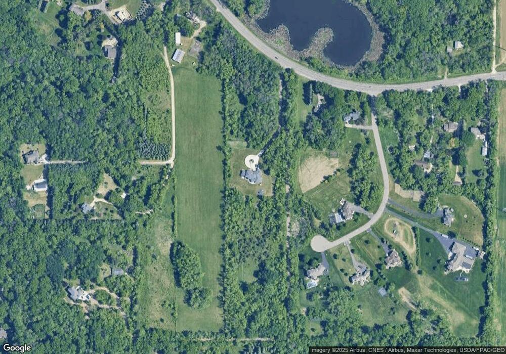
Map
Nearby Homes
- 1012 Catherine Dr
- 6287 Crackleberry Trail
- 6641 Crackleberry Ct
- 6025 Howkins Rd
- 1081 Oakwood Rd
- 966 Maple Hill Rd
- 6720 Crackleberry Trail
- 5119 Woodlane Alcove
- Belleville Plan at Arbor Ridge
- Richmond Plan at Arbor Ridge
- Woodland Plan at Arbor Ridge
- Remington Plan at Arbor Ridge
- Superior Sport Plan at Arbor Ridge
- Walton Plan at Arbor Ridge
- Wyatt Plan at Arbor Ridge
- Westley Sport Plan at Arbor Ridge
- Bonneville Plan at Arbor Ridge
- Weston Sport Plan at Arbor Ridge
- Hillsdale Plan at Arbor Ridge
- Windom Plan at Arbor Ridge
- 4770 Stimson Trail
- 6581 Military Rd
- 6611 Military Rd
- 4791 Stimson Trail
- xxxx Valhalla Dr
- 4781 Stimson Trail
- 4771 Stimson Trail
- 6685 Military Rd
- 6451 Military Rd
- 4865 Valhalla Dr
- 4593 Valhalla Cir
- 4751 Stimson Trail
- 6715 Military Rd
- 6422 Crackleberry Trail
- 6541 Military Rd
- 6468 Crackleberry Trail
- 4761 Stimson Trail
- 4850 Valhalla Dr
- 6358 Crackleberry Trail
- 4582 Valhalla Cir