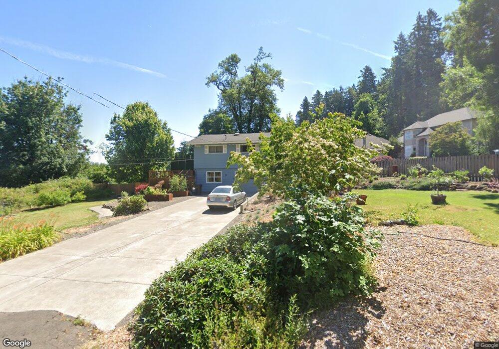
6515 Failing St West Linn, OR 97068
Bolton NeighborhoodEstimated Value: $680,706 - $817,000
4
Beds
2
Baths
2,384
Sq Ft
$312/Sq Ft
Est. Value
About This Home
This home is located at 6515 Failing St, West Linn, OR 97068 and is currently estimated at $744,677, approximately $312 per square foot. 6515 Failing St is a home located in Clackamas County with nearby schools including Bolton Primary School, West Linn High School, and Clackamas Academy of Industrial Sciences (CAIS).
Ownership History
Date
Name
Owned For
Owner Type
Purchase Details
Closed on
Sep 1, 2011
Sold by
Obrien Michael S and Obrien Joan E
Bought by
Obrien Michael S and Obrien Joan E
Current Estimated Value
Purchase Details
Closed on
Dec 7, 2006
Sold by
Obrien Michael S and Obrien Joan E
Bought by
Obrien Michael S and Obrien Joan E
Create a Home Valuation Report for This Property
The Home Valuation Report is an in-depth analysis detailing your home's value as well as a comparison with similar homes in the area
Home Values in the Area
Average Home Value in this Area
Purchase History
| Date | Buyer | Sale Price | Title Company |
|---|---|---|---|
| Obrien Michael S | -- | None Available | |
| Obrien Michael S | -- | None Available | |
| Obrien Michael S | -- | None Available |
Source: Public Records
Tax History Compared to Growth
Tax History
| Year | Tax Paid | Tax Assessment Tax Assessment Total Assessment is a certain percentage of the fair market value that is determined by local assessors to be the total taxable value of land and additions on the property. | Land | Improvement |
|---|---|---|---|---|
| 2025 | $5,553 | $288,140 | -- | -- |
| 2024 | $5,345 | $279,748 | -- | -- |
| 2023 | $5,345 | $271,600 | $0 | $0 |
| 2022 | $5,045 | $263,690 | $0 | $0 |
| 2021 | $4,789 | $256,010 | $0 | $0 |
| 2020 | $4,822 | $248,554 | $0 | $0 |
| 2019 | $4,598 | $241,315 | $0 | $0 |
| 2018 | $4,393 | $234,286 | $0 | $0 |
| 2017 | $4,222 | $227,462 | $0 | $0 |
| 2016 | $4,113 | $220,837 | $0 | $0 |
| 2015 | $3,920 | $214,405 | $0 | $0 |
| 2014 | $3,693 | $208,160 | $0 | $0 |
Source: Public Records
Map
Nearby Homes
- 6345 Caufield St
- 6403 Tompkins Ct
- 1954 Buck St
- 5910 W A St
- 20930 Fawn Ct Unit 26
- 2488 Tulane St
- 5128 Firwood Dr
- 19697 SE Cottonwood St
- 5219 Summit St
- 2700 Underhill Ln Unit 1
- 5687 River St
- 5062 Prospect St
- 4050 Serango Ct
- 19575 River Rd Unit 53
- 4973 Summit St
- 19503 SE Kay St
- 2764 Ridge Ln
- 20120 Larkspur Ln Unit 85
- 4200 SE Hull Ave
- 1470 Rosemont Rd
- 1665 Edgewater Ct
- 1740 Edgewater Ct
- 1780 Edgewater Ct
- 6500 Failing St
- 0 Failing St
- 6510 Failing St
- 6541 Failing St
- 1650 Edgewater Ct
- 6537 Failing St
- 1645 Edgewater Ct
- 2000 Parkside Ct
- 6530 SW Failing
- 2001 Parkside Ct
- 6543 Failing St
- 6530 Failing St
- 6381 Failing St
- 6533 Failing St
- 2005 Parkside Ct
- 2002 Parkside Ct Unit 1
- 2002 Parkside Ct