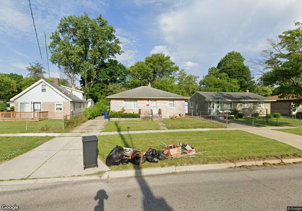
6519 Dupont St Flint, MI 48505
Brownell NeighborhoodEstimated Value: $25,115 - $73,000
3
Beds
2
Baths
1,120
Sq Ft
$39/Sq Ft
Est. Value
About This Home
This home is located at 6519 Dupont St, Flint, MI 48505 and is currently estimated at $44,029, approximately $39 per square foot. 6519 Dupont St is a home located in Genesee County with nearby schools including Brownell STEM Academy, The New Standard Academy, and Eagle's Nest Academy.
Ownership History
Date
Name
Owned For
Owner Type
Purchase Details
Closed on
Aug 8, 2025
Sold by
Hogg Ludmila
Bought by
Johnson Bianca
Current Estimated Value
Purchase Details
Closed on
Nov 11, 2024
Sold by
Hogg Ludmila and Ponomarenko Mykola
Bought by
Ponomarenko Mykola and Hogg Ludmila
Purchase Details
Closed on
Oct 10, 2024
Sold by
Ponomarenko Ewdokija and Ponomarenko Evdokia
Bought by
Ponomarenko Mykola and Suhaj Catherine
Create a Home Valuation Report for This Property
The Home Valuation Report is an in-depth analysis detailing your home's value as well as a comparison with similar homes in the area
Home Values in the Area
Average Home Value in this Area
Purchase History
| Date | Buyer | Sale Price | Title Company |
|---|---|---|---|
| Johnson Bianca | $25,000 | Mason Burgess Title | |
| Ponomarenko Mykola | -- | None Listed On Document | |
| Ponomarenko Mykola | -- | None Listed On Document | |
| Ponomarenko Mykola | -- | None Listed On Document | |
| Ponomarenko Mykola | -- | None Listed On Document |
Source: Public Records
Tax History Compared to Growth
Tax History
| Year | Tax Paid | Tax Assessment Tax Assessment Total Assessment is a certain percentage of the fair market value that is determined by local assessors to be the total taxable value of land and additions on the property. | Land | Improvement |
|---|---|---|---|---|
| 2025 | $879 | $12,900 | $0 | $0 |
| 2024 | $820 | $9,800 | $0 | $0 |
| 2023 | $807 | $8,300 | $0 | $0 |
| 2022 | $0 | $7,800 | $0 | $0 |
| 2021 | $847 | $8,000 | $0 | $0 |
| 2020 | $890 | $9,500 | $0 | $0 |
| 2019 | $915 | $10,000 | $0 | $0 |
| 2018 | $947 | $10,400 | $0 | $0 |
| 2017 | $979 | $0 | $0 | $0 |
| 2016 | $820 | $0 | $0 | $0 |
| 2015 | -- | $0 | $0 | $0 |
| 2014 | -- | $0 | $0 | $0 |
| 2012 | -- | $16,400 | $0 | $0 |
Source: Public Records
Map
Nearby Homes
- 6610 Cranwood Dr
- 6702 Cranwood Dr
- 613 W Foss Ave
- 605 W Foss Ave
- 614 W Holbrook Ave
- 618 W Austin Ave
- 610 W Austin Ave
- 525 W Bundy Ave
- 536 W Home Ave
- 6902 Sally Ct
- 1015 W Carpenter Rd
- 405 W Bundy Ave
- 6628 Orange Ln
- 1499 W Juliah Ave
- 5714 Suburban Ct
- 1377 Knickerbocker Ave
- 5610 Baldwin Blvd
- 1605 Barbara Dr
- 1816 Russet Place
- 242 E Foss Ave
- 6515 Dupont St
- 6525 Dupont St
- 6520 Cranwood Dr
- 6529 Dupont St
- 6511 Dupont St
- 6524 Cranwood Dr
- 6516 Cranwood Dr
- 6528 Cranwood Dr
- 6512 Cranwood Dr
- 6601 Dupont St
- 646 W Lorado Ave
- 6514 Dupont St
- 6602 Cranwood Dr
- 6508 Cranwood Dr
- 6605 Dupont St
- 702 Chatham Dr
- 642 W Lorado Ave
- 641 W Foss Ave
- 6606 Cranwood Dr
- 714 Chatham Dr