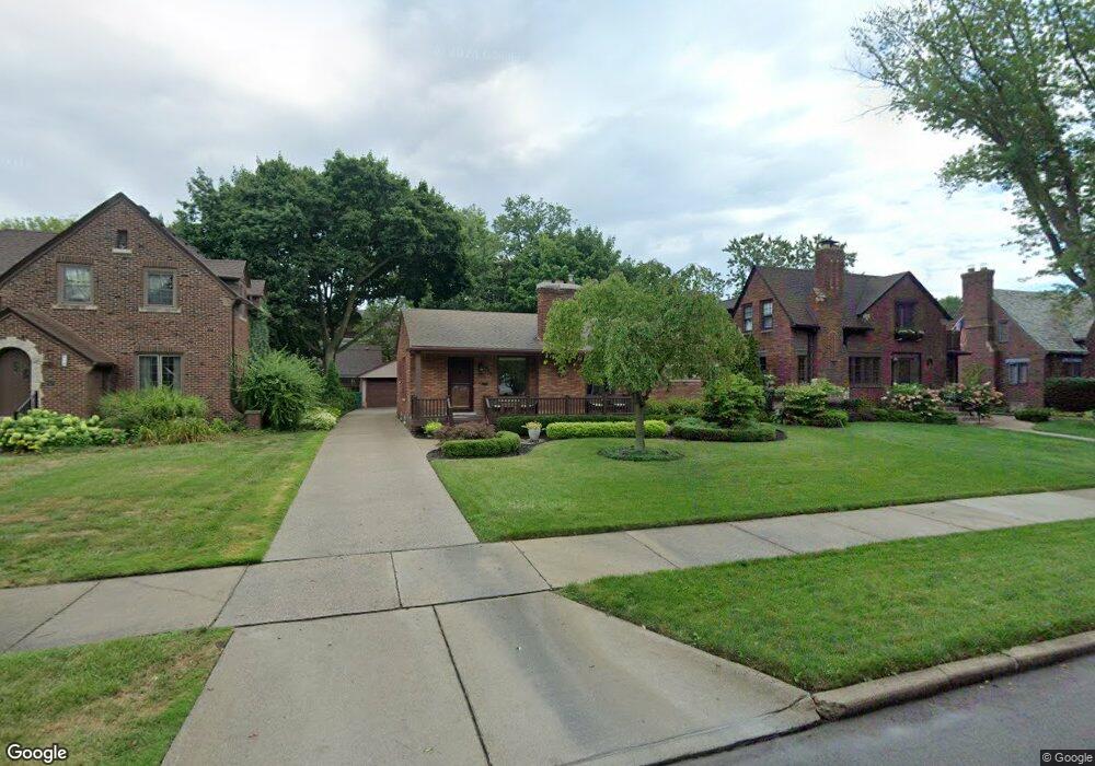
652 Barrington Rd Grosse Pointe Farms, MI 48230
Estimated Value: $315,000 - $446,000
--
Bed
--
Bath
1,260
Sq Ft
$292/Sq Ft
Est. Value
About This Home
This home is located at 652 Barrington Rd, Grosse Pointe Farms, MI 48230 and is currently estimated at $367,855, approximately $291 per square foot. 652 Barrington Rd is a home located in Wayne County with nearby schools including Pierce Middle School, Grosse Pointe South High School, and Detroit Merit Charter Academy.
Ownership History
Date
Name
Owned For
Owner Type
Purchase Details
Closed on
Apr 15, 2005
Sold by
Butler Nancy M
Bought by
Misuraca Frank A
Current Estimated Value
Home Financials for this Owner
Home Financials are based on the most recent Mortgage that was taken out on this home.
Original Mortgage
$40,000
Interest Rate
5.69%
Mortgage Type
Stand Alone Second
Purchase Details
Closed on
Aug 22, 2000
Sold by
Butler Nancy M
Bought by
Butler Nancy M
Create a Home Valuation Report for This Property
The Home Valuation Report is an in-depth analysis detailing your home's value as well as a comparison with similar homes in the area
Home Values in the Area
Average Home Value in this Area
Purchase History
| Date | Buyer | Sale Price | Title Company |
|---|---|---|---|
| Misuraca Frank A | $200,000 | Pioneer Title Services | |
| Butler Nancy M | -- | -- |
Source: Public Records
Mortgage History
| Date | Status | Borrower | Loan Amount |
|---|---|---|---|
| Previous Owner | Misuraca Frank A | $40,000 |
Source: Public Records
Tax History Compared to Growth
Tax History
| Year | Tax Paid | Tax Assessment Tax Assessment Total Assessment is a certain percentage of the fair market value that is determined by local assessors to be the total taxable value of land and additions on the property. | Land | Improvement |
|---|---|---|---|---|
| 2025 | $2,969 | $191,100 | $0 | $0 |
| 2024 | $2,969 | $179,800 | $0 | $0 |
| 2023 | $2,835 | $160,500 | $0 | $0 |
| 2022 | $2,693 | $149,700 | $0 | $0 |
| 2021 | $5,310 | $148,600 | $0 | $0 |
| 2019 | $5,465 | $135,400 | $0 | $0 |
| 2018 | $2,568 | $120,000 | $0 | $0 |
| 2017 | $6,040 | $93,500 | $0 | $0 |
| 2016 | $5,512 | $119,300 | $0 | $0 |
| 2015 | $9,410 | $112,400 | $0 | $0 |
| 2013 | $9,000 | $97,300 | $0 | $0 |
| 2012 | $2,700 | $102,200 | $36,100 | $66,100 |
Source: Public Records
Map
Nearby Homes
- 614 Pemberton Rd
- 709 Lakepointe St
- 709 Middlesex Rd
- 784 Barrington Rd
- 429 Manistique St
- 504 Alter Rd
- 289 Manistique St
- 225 Ashland St
- 487 Philip St
- 458 Marlborough St
- 388 Chalmers St
- 402 Chalmers St
- 15345 Windmill Pointe Dr
- 15215 Windmill Pointe Dr
- 847 Barrington Rd
- 383 Chalmers St
- 14511 Harbor Island St
- 15230 Windmill Pointe Dr
- 709 Ashland St
- 221 Chalmers St
- 644 Barrington Rd
- 658 Barrington Rd
- 638 Barrington Rd
- 653 Pemberton Rd
- 647 Pemberton Rd
- 663 Pemberton Rd
- 632 Barrington Rd
- 651 Barrington Rd
- 639 Pemberton Rd
- 643 Barrington Rd
- 657 Barrington Rd
- 637 Barrington Rd
- 624 Barrington Rd
- 704 Barrington Rd
- 631 Pemberton Rd
- 631 Barrington Rd
- 623 Pemberton Rd
- 663 Barrington Rd
- 705 Pemberton Rd
- 620 Barrington Rd