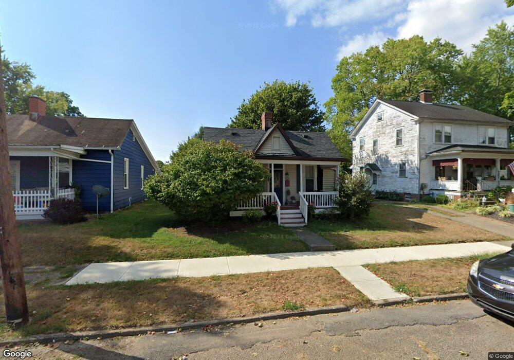
652 E Allen St Lancaster, OH 43130
Estimated Value: $170,000 - $179,690
2
Beds
1
Bath
745
Sq Ft
$232/Sq Ft
Est. Value
About This Home
This home is located at 652 E Allen St, Lancaster, OH 43130 and is currently estimated at $172,923, approximately $232 per square foot. 652 E Allen St is a home located in Fairfield County with nearby schools including Thomas Ewing Junior High School, Lancaster High School, and St Mary Elementary School.
Ownership History
Date
Name
Owned For
Owner Type
Purchase Details
Closed on
Nov 1, 2022
Sold by
Landis Joyce A
Bought by
Landis Preservation Trust
Current Estimated Value
Purchase Details
Closed on
Jan 20, 2011
Sold by
Judy Leroy Richard and Adkins Patricia Louise
Bought by
Landis Joyce A
Purchase Details
Closed on
Apr 4, 2003
Sold by
Abram Kevin E and Abram Kelly R
Bought by
Judy Irvin F
Purchase Details
Closed on
Nov 1, 1990
Create a Home Valuation Report for This Property
The Home Valuation Report is an in-depth analysis detailing your home's value as well as a comparison with similar homes in the area
Home Values in the Area
Average Home Value in this Area
Purchase History
| Date | Buyer | Sale Price | Title Company |
|---|---|---|---|
| Landis Preservation Trust | -- | -- | |
| Landis Joyce A | $48,000 | Valmer Land Title Agency | |
| Judy Irvin F | $83,000 | Hocking Valley Title Agency | |
| -- | $35,000 | -- |
Source: Public Records
Tax History
| Year | Tax Paid | Tax Assessment Tax Assessment Total Assessment is a certain percentage of the fair market value that is determined by local assessors to be the total taxable value of land and additions on the property. | Land | Improvement |
|---|---|---|---|---|
| 2025 | $3,351 | $50,450 | $20,430 | $30,020 |
| 2024 | $3,351 | $37,280 | $10,640 | $26,640 |
| 2023 | $1,025 | $37,280 | $10,640 | $26,640 |
| 2022 | $1,045 | $37,280 | $10,640 | $26,640 |
| 2021 | $899 | $31,740 | $10,640 | $21,100 |
| 2020 | $610 | $31,740 | $10,640 | $21,100 |
| 2019 | $820 | $31,740 | $10,640 | $21,100 |
| 2018 | $574 | $25,740 | $10,640 | $15,100 |
| 2017 | $574 | $24,030 | $10,020 | $14,010 |
| 2016 | $878 | $24,030 | $10,020 | $14,010 |
| 2015 | $885 | $23,510 | $10,020 | $13,490 |
| 2014 | $844 | $23,510 | $10,020 | $13,490 |
| 2013 | $844 | $23,510 | $10,020 | $13,490 |
Source: Public Records
Map
Nearby Homes
- 705 Madison Ave
- 736 E Allen St
- 632 N Eastwood Ave
- 641 King St
- 517 N Maple St
- 621 E Mulberry St
- 627 Harding Ave
- 311 E Allen St
- 1006 King St
- 869 E Mulberry St
- 233 E 6th Ave
- 534 E Wheeling St
- 867 E Wheeling St
- 600 N High St
- 844 E Wheeling St
- 545 E Main St
- 627 Sheridan Dr
- 630 Sheridan Dr
- 846 E Main St
- 165 Lake St
Your Personal Tour Guide
Ask me questions while you tour the home.