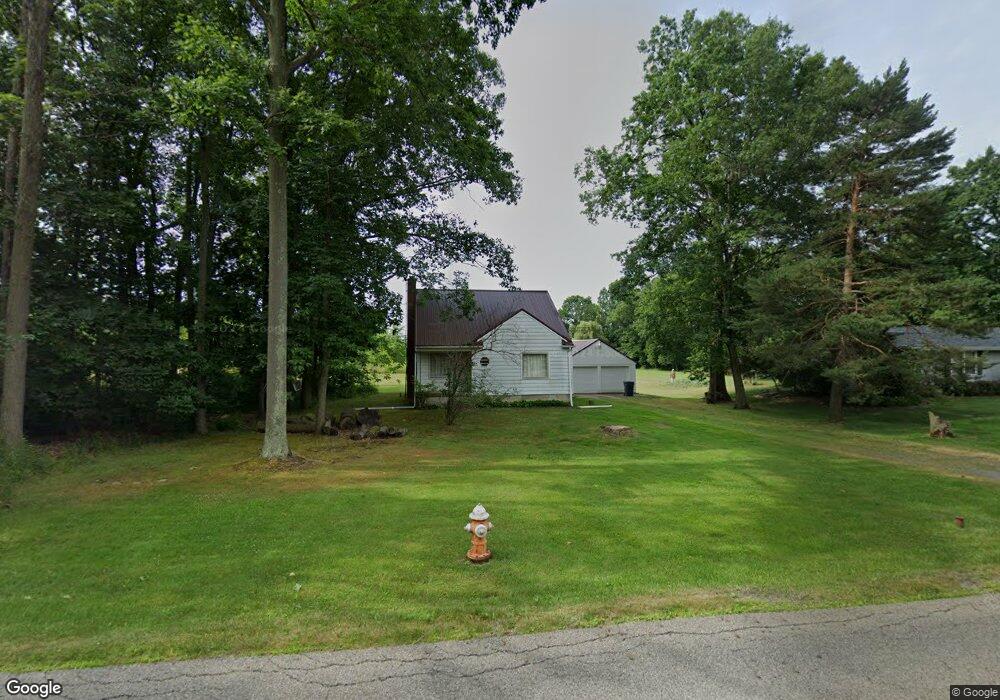
6525 New Rd Youngstown, OH 44515
Austintown NeighborhoodEstimated Value: $165,488 - $280,000
4
Beds
1
Bath
1,353
Sq Ft
$156/Sq Ft
Est. Value
About This Home
This home is located at 6525 New Rd, Youngstown, OH 44515 and is currently estimated at $211,372, approximately $156 per square foot. 6525 New Rd is a home located in Mahoning County with nearby schools including Austintown Elementary School, Austintown Intermediate School, and Austintown Middle School.
Ownership History
Date
Name
Owned For
Owner Type
Purchase Details
Closed on
Jul 26, 2010
Sold by
Romeo Annette
Bought by
Romeo Annette M and Romeo William A
Current Estimated Value
Home Financials for this Owner
Home Financials are based on the most recent Mortgage that was taken out on this home.
Original Mortgage
$33,000
Outstanding Balance
$22,112
Interest Rate
4.81%
Mortgage Type
New Conventional
Estimated Equity
$189,260
Purchase Details
Closed on
Dec 12, 1989
Bought by
Romeo Doris J
Create a Home Valuation Report for This Property
The Home Valuation Report is an in-depth analysis detailing your home's value as well as a comparison with similar homes in the area
Home Values in the Area
Average Home Value in this Area
Purchase History
| Date | Buyer | Sale Price | Title Company |
|---|---|---|---|
| Romeo Annette M | $60,000 | Attorney | |
| Romeo Doris J | -- | -- |
Source: Public Records
Mortgage History
| Date | Status | Borrower | Loan Amount |
|---|---|---|---|
| Open | Romeo Annette M | $33,000 |
Source: Public Records
Tax History Compared to Growth
Tax History
| Year | Tax Paid | Tax Assessment Tax Assessment Total Assessment is a certain percentage of the fair market value that is determined by local assessors to be the total taxable value of land and additions on the property. | Land | Improvement |
|---|---|---|---|---|
| 2024 | $1,766 | $38,550 | $9,420 | $29,130 |
| 2023 | $1,739 | $38,550 | $9,420 | $29,130 |
| 2022 | $1,244 | $22,090 | $8,620 | $13,470 |
| 2021 | $1,244 | $22,090 | $8,620 | $13,470 |
| 2020 | $1,250 | $22,090 | $8,620 | $13,470 |
| 2019 | $1,320 | $21,240 | $8,290 | $12,950 |
| 2018 | $1,270 | $21,240 | $8,290 | $12,950 |
| 2017 | $747 | $21,240 | $8,290 | $12,950 |
| 2016 | $731 | $20,850 | $5,470 | $15,380 |
| 2015 | $709 | $20,850 | $5,470 | $15,380 |
| 2014 | $712 | $20,850 | $5,470 | $15,380 |
| 2013 | $704 | $20,850 | $5,470 | $15,380 |
Source: Public Records
Map
Nearby Homes
- 6581 Country Ridge Ave
- 6488 S Timberidge Dr
- 6370 Fairview Rd
- 0 Fairview Rd
- 244 Wilcox Rd
- 6947 Winterpark Ave
- 557 Wilcox Rd Unit A
- 519 Wilcox Rd Unit A
- 701 Oberlin Place
- 370 Wilcox Rd
- 124 Wilcox Rd Unit 124
- 5678 Cider Mill Crossing
- 138 Wilcox Rd Unit 138
- 3013 Whispering Pines Dr
- 5640 Baylor Ave
- 3189 Meanderwood Dr
- 5559 London Dr
- 7017 Kirk Rd
- 6856 Berry Blossom Dr
- 5677 Mahoning Ave