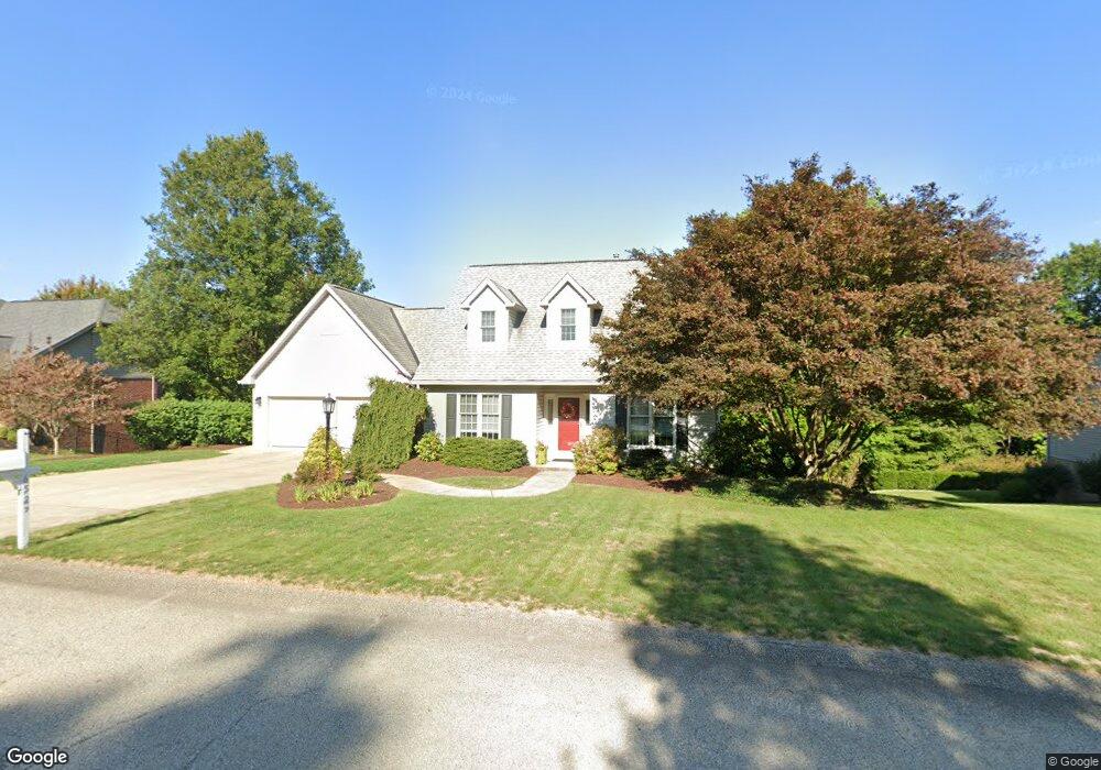
6527 Ten Point Cir Trafford, PA 15085
Penn Township NeighborhoodEstimated Value: $150,331 - $473,000
3
Beds
3
Baths
1,709
Sq Ft
$211/Sq Ft
Est. Value
About This Home
This home is located at 6527 Ten Point Cir, Trafford, PA 15085 and is currently estimated at $360,583, approximately $210 per square foot. 6527 Ten Point Cir is a home located in Westmoreland County with nearby schools including Penn Trafford High School.
Ownership History
Date
Name
Owned For
Owner Type
Purchase Details
Closed on
Jul 16, 2010
Sold by
Frey Amy L and Frey James D
Bought by
Frey Amy L and Frey James D
Current Estimated Value
Home Financials for this Owner
Home Financials are based on the most recent Mortgage that was taken out on this home.
Original Mortgage
$123,500
Interest Rate
4.78%
Mortgage Type
New Conventional
Purchase Details
Closed on
Nov 18, 2008
Sold by
Diehl William C and Diehl Bonnie L
Bought by
Ludwig Amy L
Home Financials for this Owner
Home Financials are based on the most recent Mortgage that was taken out on this home.
Original Mortgage
$120,000
Interest Rate
6.03%
Mortgage Type
Purchase Money Mortgage
Create a Home Valuation Report for This Property
The Home Valuation Report is an in-depth analysis detailing your home's value as well as a comparison with similar homes in the area
Home Values in the Area
Average Home Value in this Area
Purchase History
| Date | Buyer | Sale Price | Title Company |
|---|---|---|---|
| Frey Amy L | -- | None Available | |
| Ludwig Amy L | $255,000 | None Available |
Source: Public Records
Mortgage History
| Date | Status | Borrower | Loan Amount |
|---|---|---|---|
| Closed | Frey Amy L | $123,500 | |
| Closed | Ludwig Amy L | $120,000 |
Source: Public Records
Tax History Compared to Growth
Tax History
| Year | Tax Paid | Tax Assessment Tax Assessment Total Assessment is a certain percentage of the fair market value that is determined by local assessors to be the total taxable value of land and additions on the property. | Land | Improvement |
|---|---|---|---|---|
| 2025 | $4,652 | $33,970 | $3,230 | $30,740 |
| 2024 | $4,618 | $33,970 | $3,230 | $30,740 |
| 2023 | $4,380 | $33,970 | $3,230 | $30,740 |
| 2022 | $4,329 | $33,970 | $3,230 | $30,740 |
| 2021 | $4,295 | $33,970 | $3,230 | $30,740 |
| 2020 | $4,261 | $33,970 | $3,230 | $30,740 |
| 2019 | $4,159 | $33,970 | $3,230 | $30,740 |
| 2018 | $4,040 | $33,970 | $3,230 | $30,740 |
| 2017 | $3,938 | $33,970 | $3,230 | $30,740 |
| 2016 | $3,823 | $33,970 | $3,230 | $30,740 |
| 2015 | $3,823 | $33,970 | $3,230 | $30,740 |
| 2014 | $3,755 | $33,970 | $3,230 | $30,740 |
Source: Public Records
Map
Nearby Homes
- 6411 Ten Point Cir
- 6178 Baker School Rd
- 1004 Blueridge Ct
- 1015 Noble Pine Ct
- 611 & 611 1/2 Sixth St
- 0 Evergreen (Lot 21-22) Unit 1711486
- 729 State Route 130
- 1004 Christina Ct
- 708 State Route 130
- 301 Pine Hollow Rd
- 632 Penn Dr
- 674 Meadowbrook Rd
- 1010 1st St
- 0 Pine Hollow Road Extension
- 4073 Route 130
- 129 Fern Dr
- 117 Plum Dr
- 160 Sunrise Dr
- 233 Saunders Station Rd
- 204 Ridgecrest Ct
- 6525 Ten Point Cir
- 6529 Ten Point Cir
- 10 Point Cir
- 6526 Ten Point Cir
- 6531 Ten Point Cir
- 6528 Ten Point Cir
- 6523 Ten Point Cir
- 6530 Ten Point Cir
- 6522 Ten Point Cir
- 6521 Ten Point Cir
- 6532 Ten Point Cir
- 6518 Ten Point Cir
- 6519 Ten Point Cir
- 6535 Ten Point Cir
- 6308 Doe Cir
- 6514 Ten Point Cir
- 6534 Ten Point Cir
- 6307 Doe Cir
- 6517 Ten Point Cir
- 6512 Ten Point Cir