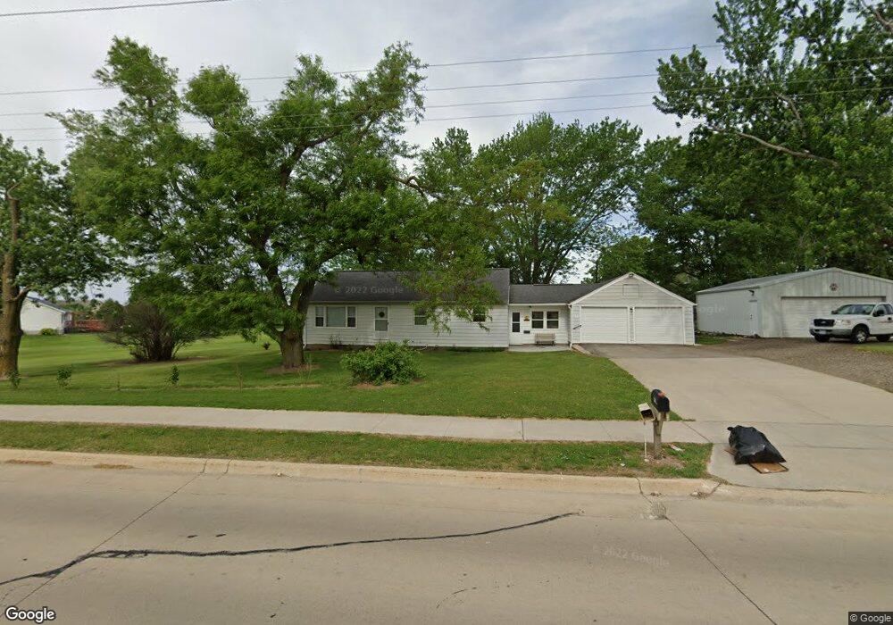
653 S Mentzer Rd Robins, IA 52328
Estimated Value: $188,000 - $273,000
3
Beds
1
Bath
1,120
Sq Ft
$209/Sq Ft
Est. Value
About This Home
This home is located at 653 S Mentzer Rd, Robins, IA 52328 and is currently estimated at $234,363, approximately $209 per square foot. 653 S Mentzer Rd is a home located in Linn County with nearby schools including Nixon Elementary School, Harding Middle School, and John F. Kennedy High School.
Ownership History
Date
Name
Owned For
Owner Type
Purchase Details
Closed on
Jun 2, 2024
Sold by
Bruce J Penning Revocable Trust and Clemons Abigail S
Bought by
Beverly M Sherman Revocable Trust and Sherman
Current Estimated Value
Purchase Details
Closed on
Jun 6, 2019
Sold by
Sherman Beverly and Sherman Beverly M
Bought by
Sherman Beverly M and Beverly M Sherman Revocable Trust
Purchase Details
Closed on
Apr 29, 2016
Sold by
Sherman Harold L and Buske Sherry Sue
Bought by
Sherman Beverly and Penning Bruce
Create a Home Valuation Report for This Property
The Home Valuation Report is an in-depth analysis detailing your home's value as well as a comparison with similar homes in the area
Home Values in the Area
Average Home Value in this Area
Purchase History
| Date | Buyer | Sale Price | Title Company |
|---|---|---|---|
| Beverly M Sherman Revocable Trust | -- | None Listed On Document | |
| Sherman Beverly M | -- | None Available | |
| Sherman Beverly | -- | Attorney |
Source: Public Records
Tax History
| Year | Tax Paid | Tax Assessment Tax Assessment Total Assessment is a certain percentage of the fair market value that is determined by local assessors to be the total taxable value of land and additions on the property. | Land | Improvement |
|---|---|---|---|---|
| 2025 | $2,392 | $233,400 | $39,600 | $193,800 |
| 2024 | $2,176 | $203,400 | $39,600 | $163,800 |
| 2023 | $2,176 | $203,400 | $39,600 | $163,800 |
| 2022 | $2,316 | $155,100 | $39,600 | $115,500 |
| 2021 | $2,376 | $155,100 | $39,600 | $115,500 |
| 2020 | $2,376 | $147,700 | $39,600 | $108,100 |
| 2019 | $2,326 | $138,700 | $39,600 | $99,100 |
Source: Public Records
Map
Nearby Homes
- 8608 Flatbush Ct NE
- 8926 Norway Dr NE
- 8932 Norway Dr NE
- 9124 Grand Oaks Dr NE
- 8201 Council St NE
- 165 Timber Ln
- 1623 Petrus Dr NE
- 70.78 Acres M L Quass Rd
- 1110 Capri Dr NE
- 1319 Ashford Ct NE
- 929 Messina Dr NE
- 7730 Burr Ridge Dr NE
- 804 Palmyra Dr NE
- 0 Maple St
- 560 Ryker St
- 620 Hampton St
- 570 Hampton St
- 540 Hampton St
- 560 Hampton St
- 590 Hampton St
- 645 S Mentzer Rd
- 9426 Grand Oaks Dr NE
- 725 Freeseway Dr
- 711 S Mentzer Rd
- 9500 Grand Oaks Dr NE
- 9420 Grand Oaks Dr NE
- 9506 Grand Oaks Dr NE
- 685 Freeseway Dr
- 9512 Grand Oaks Dr NE
- 9408 Grand Oaks Dr NE
- 9402 Grand Oaks Dr NE
- 9518 Grand Oaks Dr NE
- 655 Freeseway Dr
- 9425 Grand Oaks Dr NE
- 9419 Grand Oaks Dr NE
- 9524 Grand Oaks Dr NE
- 9413 Grand Oaks Dr NE
- 9503 Grand Oaks Dr NE
- 9407 Grand Oaks Dr NE
- 9509 Grand Oaks Dr NE
Your Personal Tour Guide
Ask me questions while you tour the home.