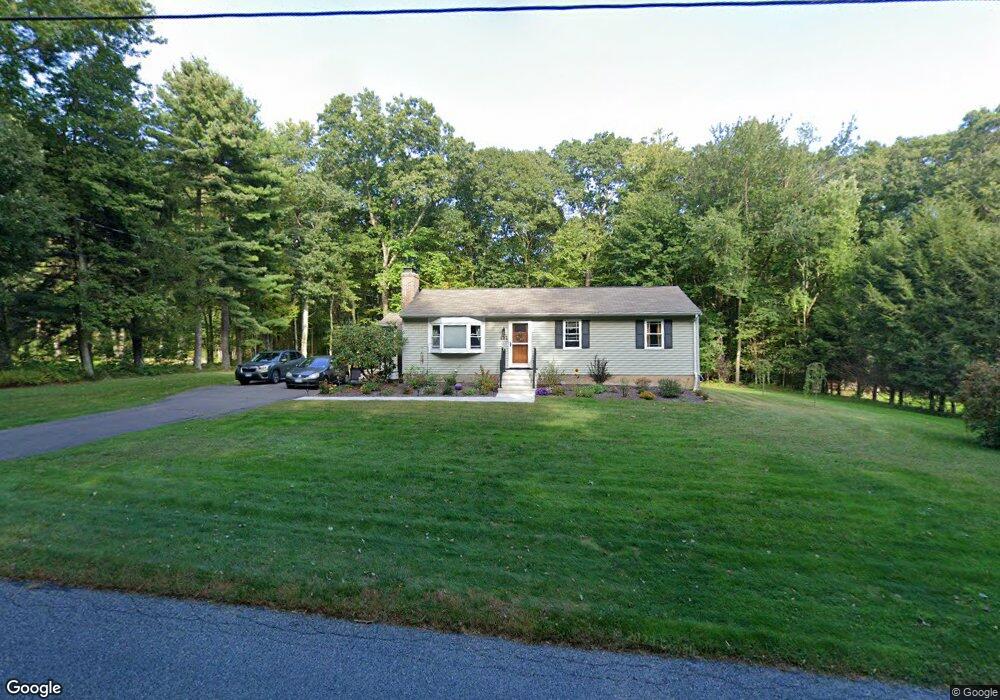
654 Buff Cap Rd Tolland, CT 06084
Estimated Value: $289,000 - $341,000
3
Beds
2
Baths
1,008
Sq Ft
$309/Sq Ft
Est. Value
About This Home
This home is located at 654 Buff Cap Rd, Tolland, CT 06084 and is currently estimated at $311,216, approximately $308 per square foot. 654 Buff Cap Rd is a home located in Tolland County with nearby schools including Tolland High School.
Ownership History
Date
Name
Owned For
Owner Type
Purchase Details
Closed on
Jun 29, 2004
Sold by
Sartori Kevin and Sartori Melanie
Bought by
Gagnon Ian and Gagnon Shannon
Current Estimated Value
Purchase Details
Closed on
Jun 27, 1994
Sold by
Gaulin Jean Paul and Gaulin Gertrude
Bought by
Gaulin Paul and Gaulin Laura
Create a Home Valuation Report for This Property
The Home Valuation Report is an in-depth analysis detailing your home's value as well as a comparison with similar homes in the area
Home Values in the Area
Average Home Value in this Area
Purchase History
| Date | Buyer | Sale Price | Title Company |
|---|---|---|---|
| Gagnon Ian | $180,421 | -- | |
| Gagnon Ian | $180,421 | -- | |
| Gaulin Paul | $100,000 | -- | |
| Gaulin Paul | $100,000 | -- |
Source: Public Records
Mortgage History
| Date | Status | Borrower | Loan Amount |
|---|---|---|---|
| Open | Gaulin Paul | $178,530 | |
| Closed | Gaulin Paul | $26,100 | |
| Closed | Gaulin Paul | $185,400 |
Source: Public Records
Tax History
| Year | Tax Paid | Tax Assessment Tax Assessment Total Assessment is a certain percentage of the fair market value that is determined by local assessors to be the total taxable value of land and additions on the property. | Land | Improvement |
|---|---|---|---|---|
| 2025 | $4,669 | $171,700 | $65,600 | $106,100 |
| 2024 | $4,540 | $120,200 | $62,500 | $57,700 |
| 2023 | $4,487 | $120,200 | $62,500 | $57,700 |
| 2022 | $4,397 | $120,200 | $62,500 | $57,700 |
| 2021 | $4,461 | $120,200 | $62,500 | $57,700 |
| 2020 | $4,333 | $120,200 | $62,500 | $57,700 |
| 2019 | $4,153 | $115,200 | $64,500 | $50,700 |
| 2018 | $4,032 | $115,200 | $64,500 | $50,700 |
| 2017 | $3,939 | $115,200 | $64,500 | $50,700 |
| 2016 | $3,939 | $115,200 | $64,500 | $50,700 |
| 2015 | $3,843 | $115,200 | $64,500 | $50,700 |
| 2014 | $3,912 | $126,000 | $71,600 | $54,400 |
Source: Public Records
Map
Nearby Homes
- 645 Buff Cap Rd
- 8 Neff Hill Rd
- 15 Usher Ridge
- 68 Usher Ridge
- 36 Usher Ridge
- 41 Neff Hill Rd
- 110 Neff Hill Rd
- 105 Neff Hill Rd
- 137 Neff Hill Rd
- 77 Neff Hill Rd
- 100 Neff Hill Rd
- 84 Neff Hill Rd
- 42 Ladd Rd
- 71 Neff Hill Rd
- 50 Buff Cap Rd
- 487 Buff Cap Rd
- 0 Tolland Turnpike
- 27 Amanda Way
- 127 Sandy Beach Rd
- 55 Kendall Mountain Rd
- 650 Buff Cap Rd
- 662 Buff Cap Rd
- 783 Old Stafford Rd
- 670 Buff Cap Rd
- 638 Buff Cap Rd
- 678 Buff Cap Rd
- 630 Buff Cap Rd
- 799 Old Stafford Rd
- 682 Buff Cap Rd
- 775 Old Stafford Rd
- 784 Old Stafford Rd
- 811 Old Stafford Rd
- 807 Old Stafford Rd
- 683 Buff Cap Rd
- 768 Old Stafford Rd
- 669 Buff Cap Rd
- 751 Old Stafford Rd
- 819 Old Stafford Rd
- 812 Old Stafford Rd
- 688 Buff Cap Rd
Your Personal Tour Guide
Ask me questions while you tour the home.