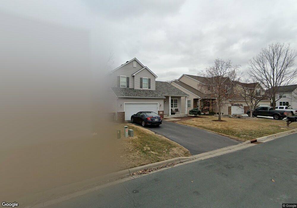
6541 Hartley Blvd N Shakopee, MN 55379
Estimated Value: $441,000 - $464,000
4
Beds
4
Baths
2,649
Sq Ft
$171/Sq Ft
Est. Value
About This Home
This home is located at 6541 Hartley Blvd N, Shakopee, MN 55379 and is currently estimated at $453,331, approximately $171 per square foot. 6541 Hartley Blvd N is a home located in Scott County with nearby schools including Red Oak Elementary School, Shakopee West Middle School, and Shakopee Senior High School.
Ownership History
Date
Name
Owned For
Owner Type
Purchase Details
Closed on
May 13, 2022
Sold by
Highet Bryan K and Highet Jennifer
Bought by
Pfaff Aaron T and Pfaff Whitney M
Current Estimated Value
Home Financials for this Owner
Home Financials are based on the most recent Mortgage that was taken out on this home.
Original Mortgage
$409,200
Interest Rate
5.25%
Mortgage Type
New Conventional
Purchase Details
Closed on
Oct 23, 2017
Sold by
Koble Laura Ann and Koble Ronald D
Bought by
Highet Bryan K
Home Financials for this Owner
Home Financials are based on the most recent Mortgage that was taken out on this home.
Original Mortgage
$244,093
Interest Rate
3.83%
Mortgage Type
FHA
Purchase Details
Closed on
Feb 2, 2006
Sold by
Punt Michael D and Punt Pamela J
Bought by
Highet Bryan K and Highet Laura
Purchase Details
Closed on
Sep 21, 2001
Sold by
Centex Homes Minnesota Division
Bought by
Punt Michael and Punt Pamela
Create a Home Valuation Report for This Property
The Home Valuation Report is an in-depth analysis detailing your home's value as well as a comparison with similar homes in the area
Home Values in the Area
Average Home Value in this Area
Purchase History
| Date | Buyer | Sale Price | Title Company |
|---|---|---|---|
| Pfaff Aaron T | $440,000 | Legacy Title | |
| Highet Bryan K | -- | Nations Title Agency Of Minn | |
| Highet Bryan K | $278,000 | -- | |
| Punt Michael | $205,700 | -- |
Source: Public Records
Mortgage History
| Date | Status | Borrower | Loan Amount |
|---|---|---|---|
| Previous Owner | Pfaff Aaron T | $409,200 | |
| Previous Owner | Highet Bryan K | $244,093 |
Source: Public Records
Tax History Compared to Growth
Tax History
| Year | Tax Paid | Tax Assessment Tax Assessment Total Assessment is a certain percentage of the fair market value that is determined by local assessors to be the total taxable value of land and additions on the property. | Land | Improvement |
|---|---|---|---|---|
| 2025 | $4,126 | $406,500 | $138,400 | $268,100 |
| 2024 | $4,156 | $400,500 | $135,700 | $264,800 |
| 2023 | $4,182 | $390,400 | $131,700 | $258,700 |
| 2022 | $4,156 | $386,700 | $126,700 | $260,000 |
| 2021 | $3,616 | $327,400 | $106,900 | $220,500 |
| 2020 | $3,778 | $310,900 | $89,100 | $221,800 |
| 2019 | $3,662 | $285,300 | $82,600 | $202,700 |
| 2018 | $1,594 | $0 | $0 | $0 |
| 2016 | $3,170 | $0 | $0 | $0 |
| 2014 | -- | $0 | $0 | $0 |
Source: Public Records
Map
Nearby Homes
- 6869 Falmouth Curve
- 7263 Falmouth Curve
- 7287 Falmouth Curve
- 1463 Ashbourne Cir
- 7379 Devin Ln
- 1789 Windsor Dr S
- 7584 Derby Ln
- 1411 Yorkshire Ln
- 1515 Yorkshire Ln
- 7432 Whitehall Rd
- 1782 Switchgrass Cir
- 1683 Riverside Dr
- 1728 Riverside Dr
- 8439 Grove Place
- 2015 Brookview St
- Sheridan & Sheridan C Plan at Whispering Waters
- Preston I & II Plan at Whispering Waters
- Newport Plan at Whispering Waters
- Morgan Plan at Whispering Waters
- Mackenzie Plan at Whispering Waters
- 6555 Hartley Blvd N
- 6527 Berwick Cir
- 6569 Hartley Blvd N
- 6511 Carlisle Curve
- 6605 Falmouth Curve
- 6629 Falmouth Curve
- 6521 Carlisle Curve
- 6598 Danbury Curve
- 6653 Falmouth Curve
- 6498 Berwick Cir
- 6508 Berwick Cir
- 6518 Berwick Cir
- 6531 Carlisle Curve
- 6677 Falmouth Curve
- 6608 Danbury Curve
- 6528 Carlisle Curve
- 6541 Carlisle Curve
- 6614 Falmouth Curve
- 6701 Falmouth Curve
- 6538 Carlisle Curve