6541 N Union Rd Cedar Falls, IA 50613
Estimated Value: $537,000 - $610,632
2
Beds
4
Baths
1,948
Sq Ft
$294/Sq Ft
Est. Value
About This Home
This home is located at 6541 N Union Rd, Cedar Falls, IA 50613 and is currently estimated at $572,658, approximately $293 per square foot. 6541 N Union Rd is a home located in Black Hawk County with nearby schools including Helen A. Hansen Elementary School, Holmes Junior High School, and Cedar Falls High School.
Ownership History
Date
Name
Owned For
Owner Type
Purchase Details
Closed on
May 1, 2013
Sold by
Etten Jeffrey S and Etten Rebecca S
Bought by
Kappelman Joshua J and Kappelman Annie J
Current Estimated Value
Home Financials for this Owner
Home Financials are based on the most recent Mortgage that was taken out on this home.
Original Mortgage
$362,304
Interest Rate
3.39%
Mortgage Type
Purchase Money Mortgage
Create a Home Valuation Report for This Property
The Home Valuation Report is an in-depth analysis detailing your home's value as well as a comparison with similar homes in the area
Home Values in the Area
Average Home Value in this Area
Purchase History
| Date | Buyer | Sale Price | Title Company |
|---|---|---|---|
| Kappelman Joshua J | $345,000 | Title Services Corporation |
Source: Public Records
Mortgage History
| Date | Status | Borrower | Loan Amount |
|---|---|---|---|
| Closed | Kappelman Joshua J | $362,304 |
Source: Public Records
Tax History Compared to Growth
Tax History
| Year | Tax Paid | Tax Assessment Tax Assessment Total Assessment is a certain percentage of the fair market value that is determined by local assessors to be the total taxable value of land and additions on the property. | Land | Improvement |
|---|---|---|---|---|
| 2025 | $6,576 | $612,740 | $154,000 | $458,740 |
| 2024 | $6,576 | $541,190 | $100,000 | $441,190 |
| 2023 | $6,406 | $545,190 | $104,000 | $441,190 |
| 2022 | $6,004 | $448,420 | $90,000 | $358,420 |
| 2021 | $5,280 | $453,300 | $126,000 | $327,300 |
| 2020 | $5,202 | $382,300 | $55,000 | $327,300 |
| 2019 | $5,202 | $382,300 | $55,000 | $327,300 |
| 2018 | $4,494 | $327,750 | $55,000 | $272,750 |
| 2017 | $4,556 | $327,750 | $55,000 | $272,750 |
| 2016 | $4,182 | $327,750 | $55,000 | $272,750 |
| 2015 | $4,182 | $327,750 | $55,000 | $272,750 |
| 2014 | $4,150 | $327,750 | $55,000 | $272,750 |
Source: Public Records
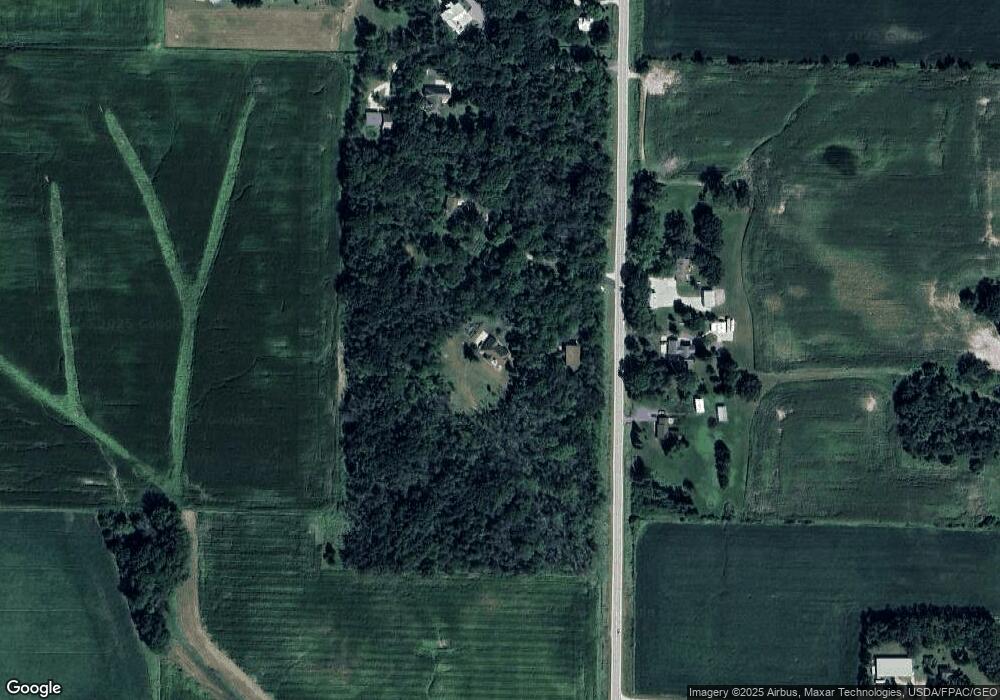
Map
Nearby Homes
- 8470 W Cedar Wapsi Rd
- 7937 N Union Rd
- 10241 Winslow Rd
- 6410 N Butler Rd
- 7931 Clark St
- 0 Finchford Rd
- 9706 Sylvan Dr
- 711 W 6th St
- 701 Hickory St
- 531 Hickory St
- 903 S Main St
- 407 Maple St
- 112 N Birch Cir
- Lot 15 Souix Ct
- Lot 13 Souix Ct
- Lot 12 Souix Ct
- Lot 19 Souix Ct
- 8052 Buck Ridge Rd
- Lot 17 Souix Ct
- Lot 14 Souix Ct
- 6633 N Union Rd
- 6524 N Union Rd
- 6542 N Union Rd
- 6624 N Union Rd
- 6725 N Union Rd
- 6803 N Union Rd
- 6801 N Union Rd
- 6731 N Union Rd
- 8901 W Cedar Wapsie Rd
- 8851 W Cedar Wapsie Rd
- 6404 N Union Rd
- 8843 W Cedar Wapsie Rd
- 6530 van Wert Rd
- Tract 3 van Wert Rd
- 8736 W Cedar Wapsie Rd
- 7012 Pioneer Dr
- 8841 Union Cir
- 8849 Union Cir
- 0 van Wert Rd
- 8680 W Cedar Wapsie Rd